Nova Scotia Archives
Built Heritage Resource Guide
Topographical Maps
The Nova Scotia Archives holds many topographical maps for Nova Scotia from the early years up to the 1980s. Two series — one produced in the 1920s, the other in the 1950s — are of special interest to built-heritage researchers, since they show locations of houses (but not residents' names).
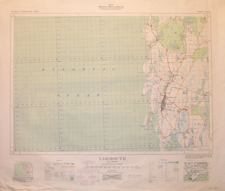
"Yarmouth, Nova Scotia"
Date: 1940
Reference: Nova Scotia Archives Map Collection: Topographical Maps, No. 20 O/16 (O/S G 3420 C36 S63 20 O/16)
Topic: Topographical Maps
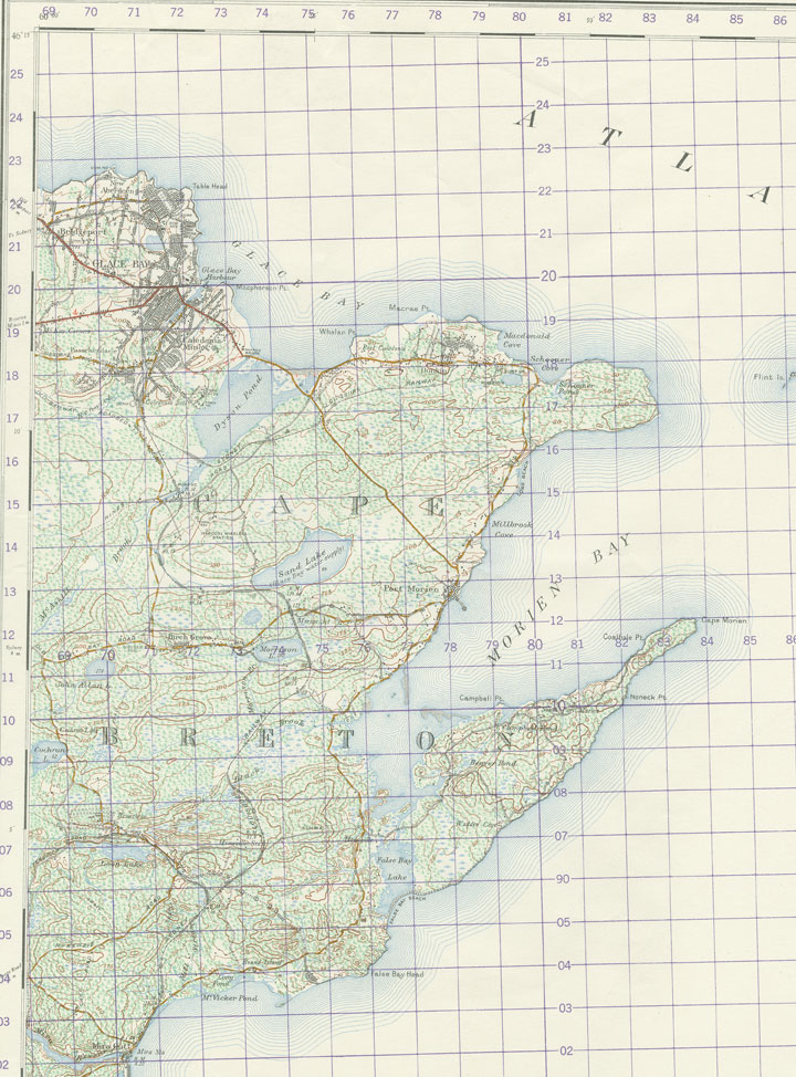
"Glace Bay, Nova Scotia"
Date: 1952
Reference: Nova Scotia Archives Map Collection: Topographical Maps, No. 11J/4 (O/S G 3420 C36 S63 11J/4)
Topic: Topographical Maps
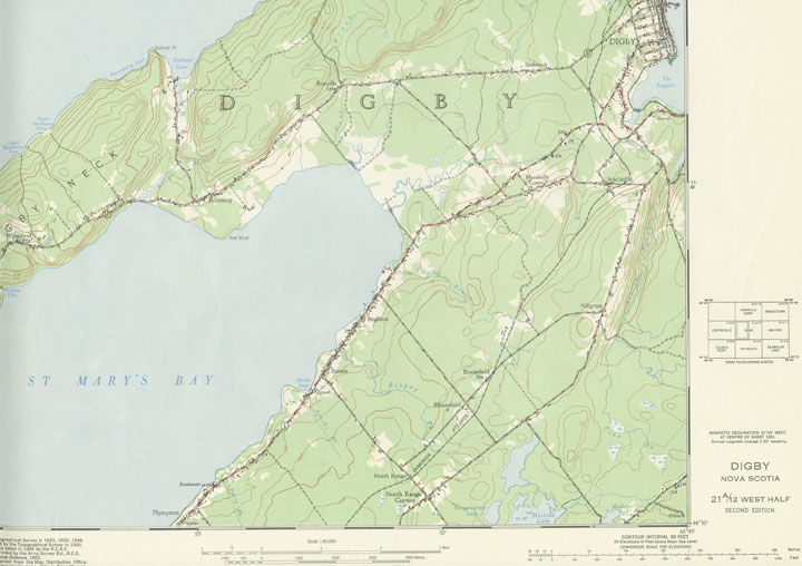
"Digby, Nova Scotia"
Date: 1952
Reference: Nova Scotia Archives Map Collection: Topographical Maps, No. 21A/12 (O/S G 3422 D45 C36 21A/12 West)
Topic: Topographical Maps


