Nova Scotia Archives
Search
Results 769 to 816 of 2049 from your search: map
Note: if what you see below isn't quite what you're looking for, or if you're looking for results from different areas of our website, try our Additional Search Tools or Google
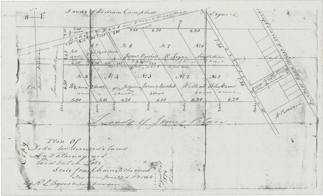
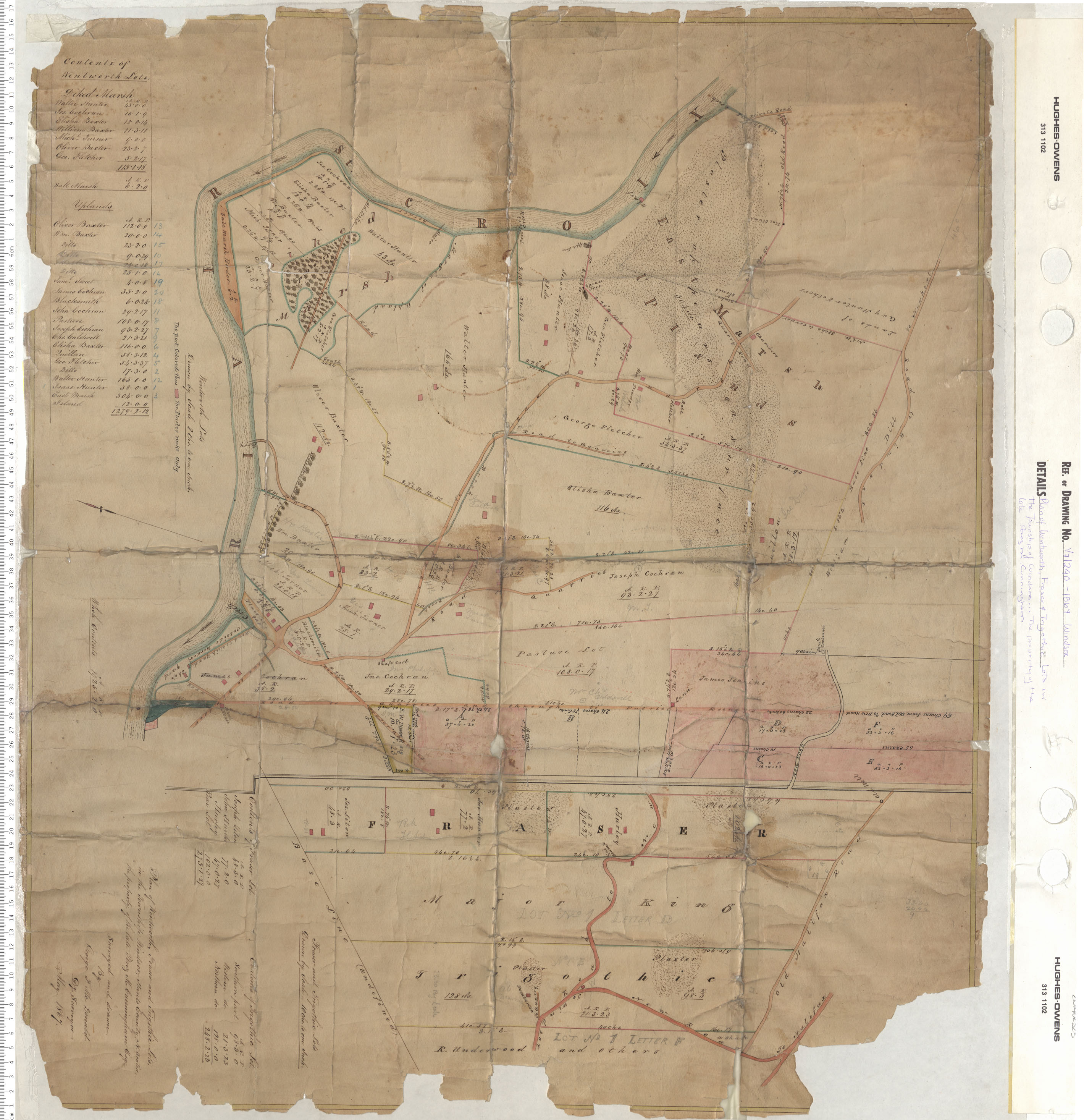
Plan of John Underwoods Land in Tatamagouche laid out in Lots
maps : 202012873

maps : 202012922
maps : 202012926
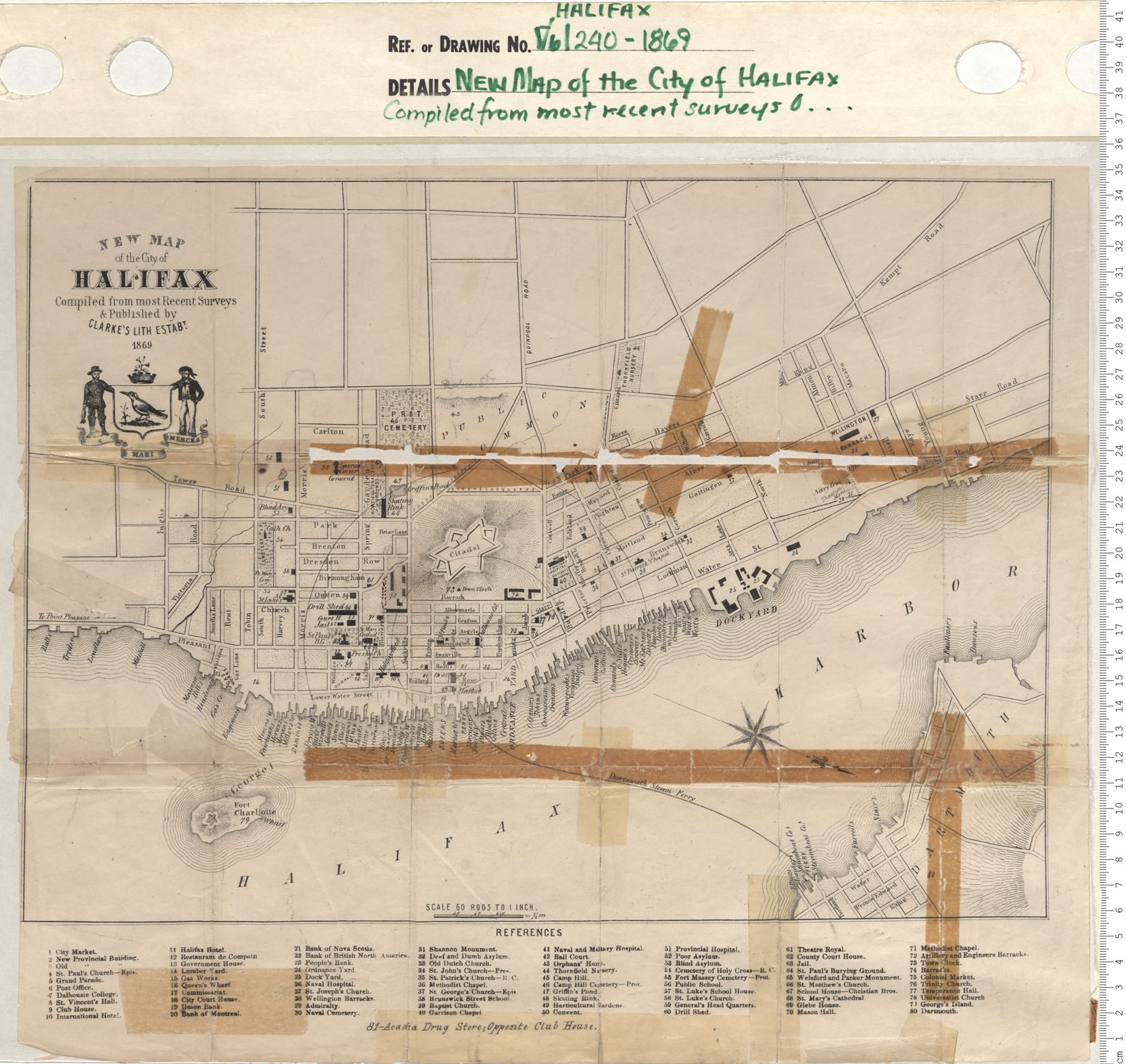
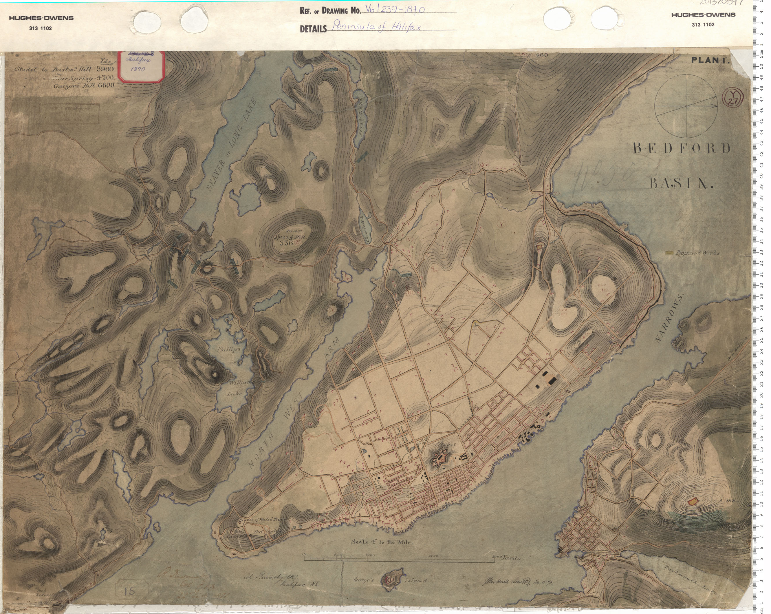
maps : 201320593

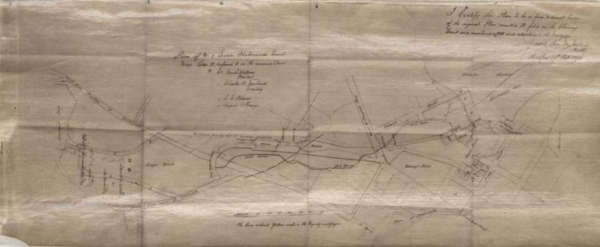
Plan of Part of the Estate the Late Lawrence Hartshorne…
maps : 201402077
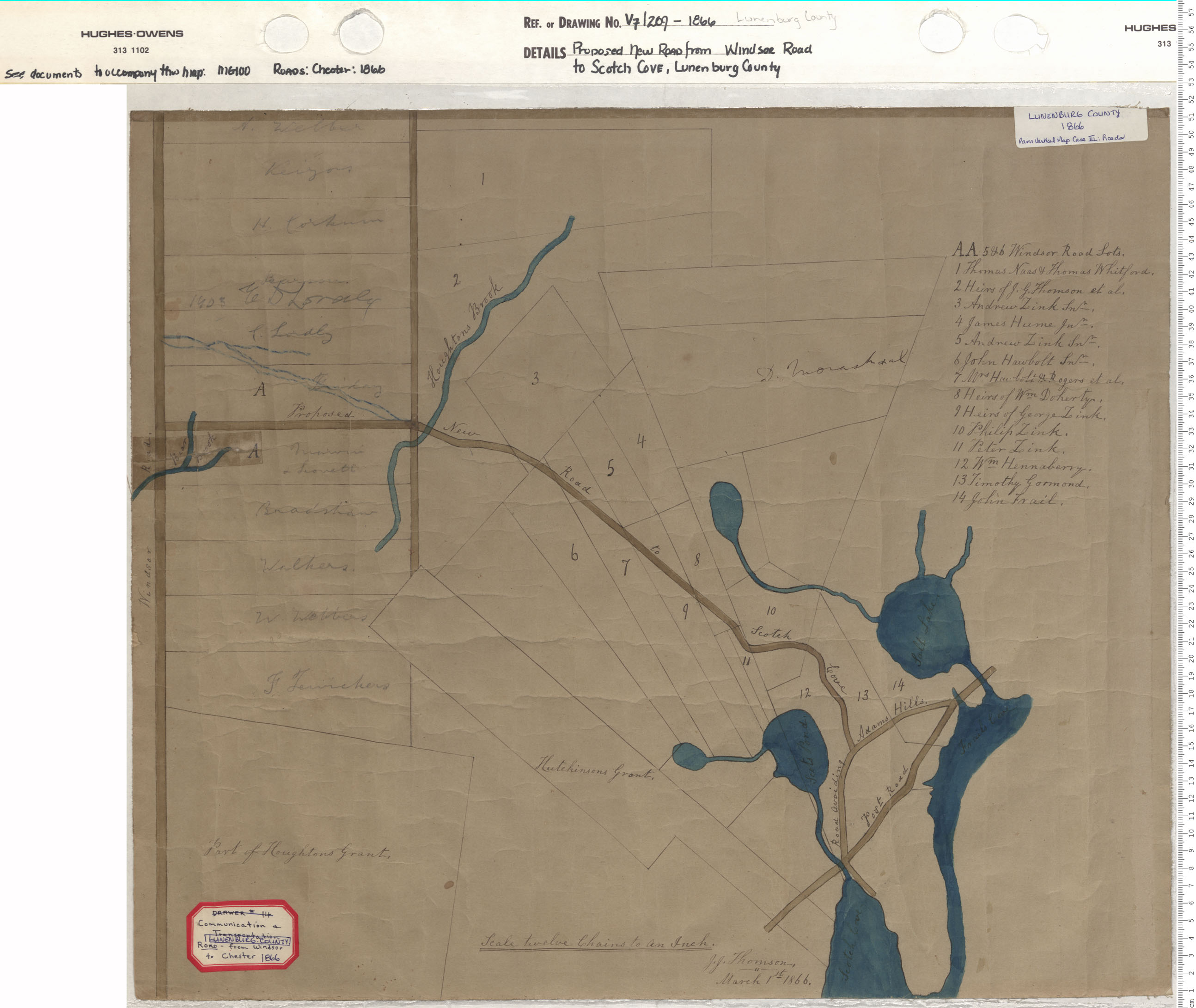
Proposed New Road from Windsor Road to Scotch Cove, Lunenburg County
maps : 201402146
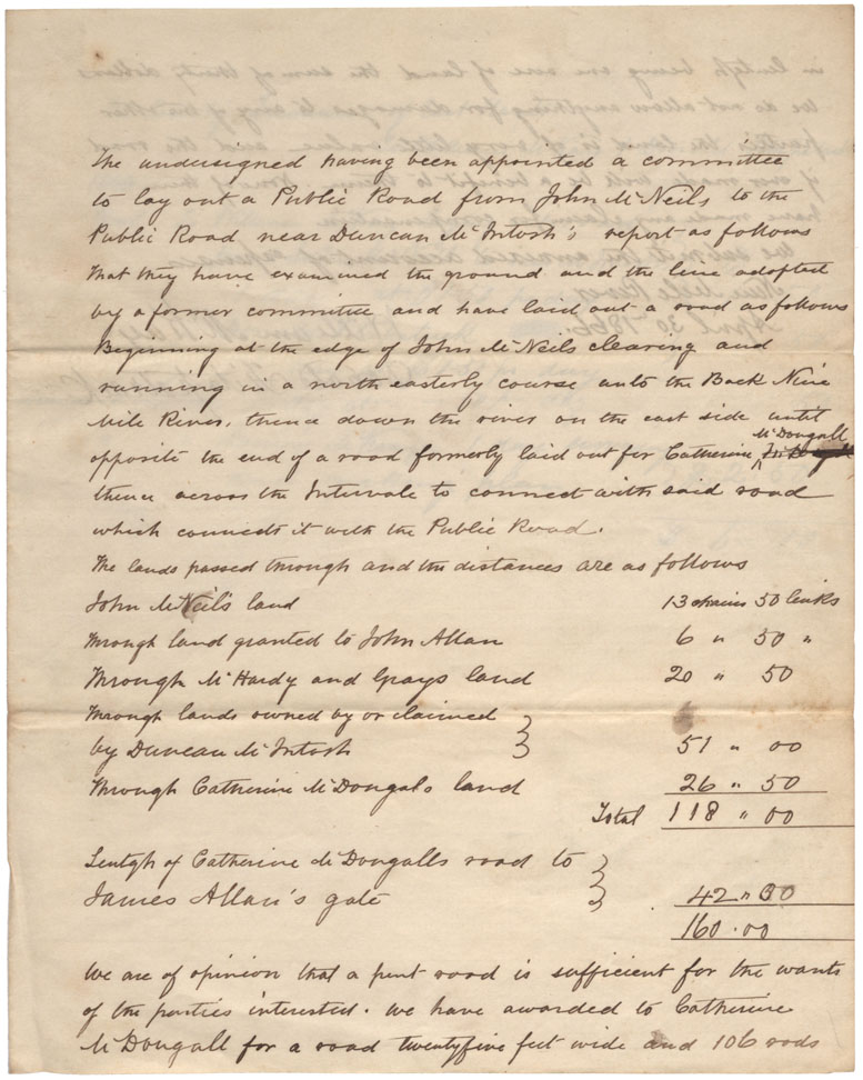
Plan of Road laid out from John McNeils to Catherine MDougall
maps : 201602026
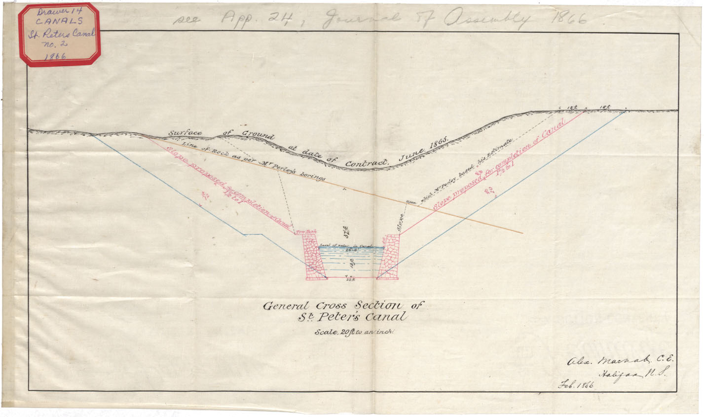
General Cross Section of St. Peters Canal Feb 1866
maps : 201602163
maps : 202012042
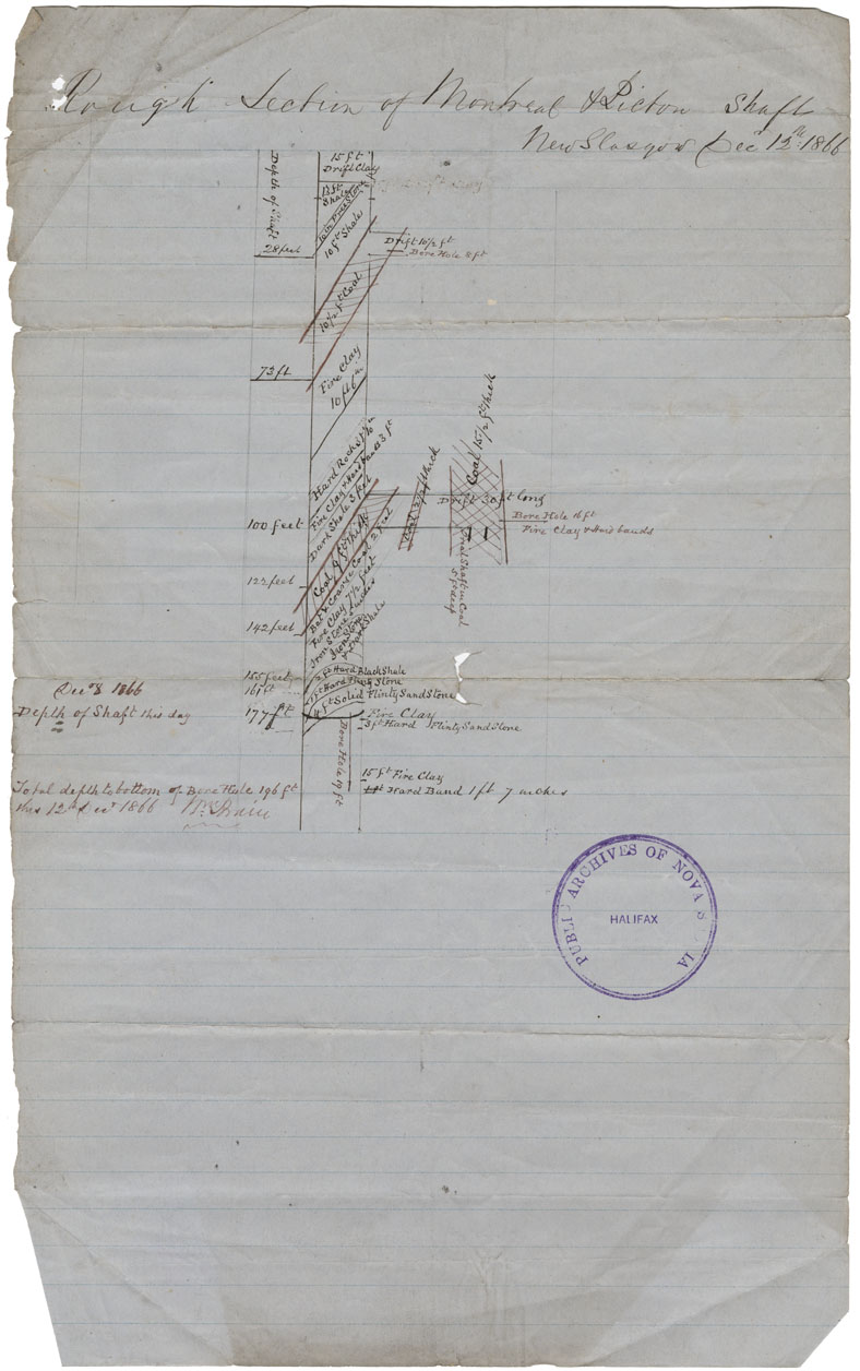
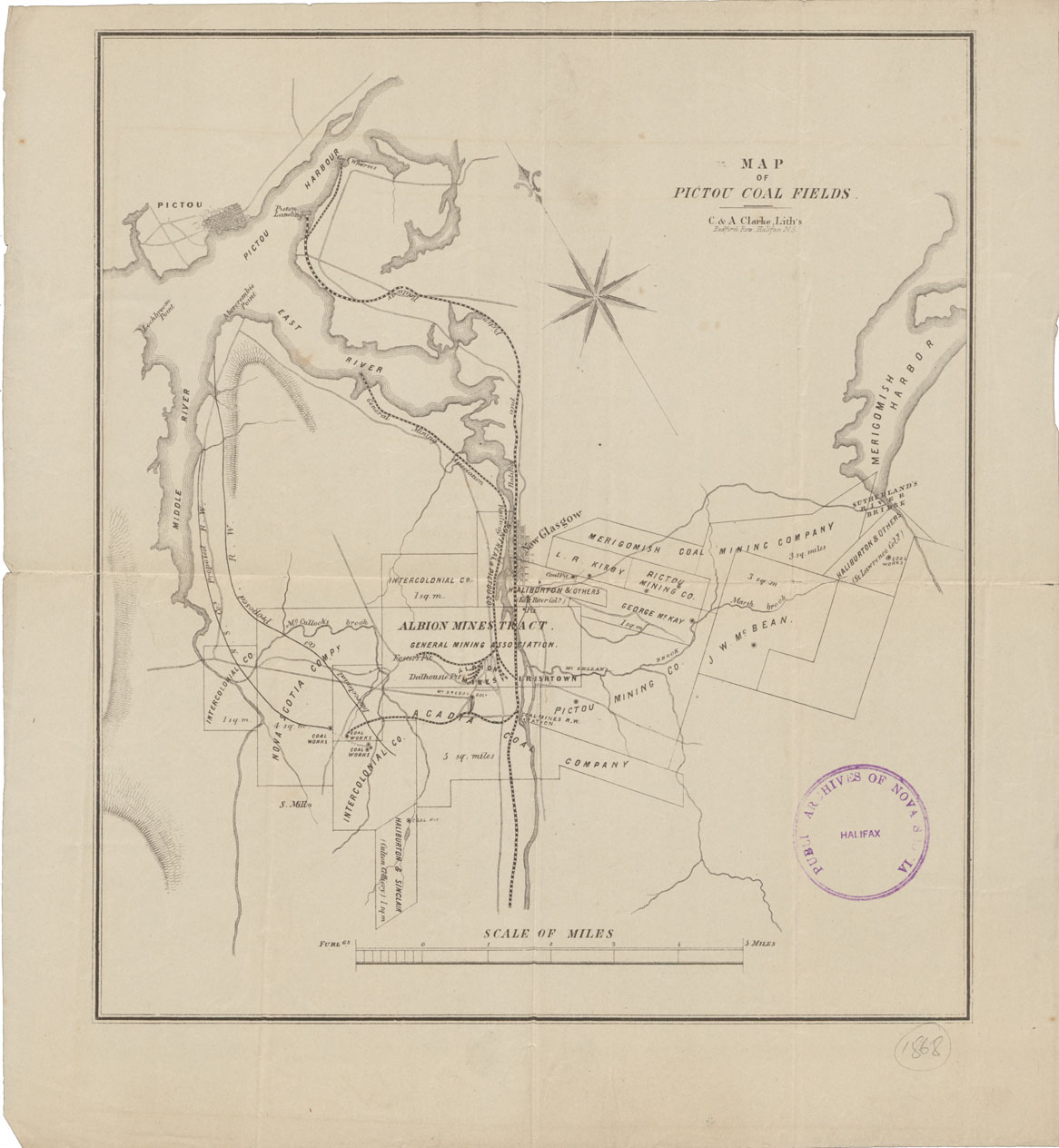
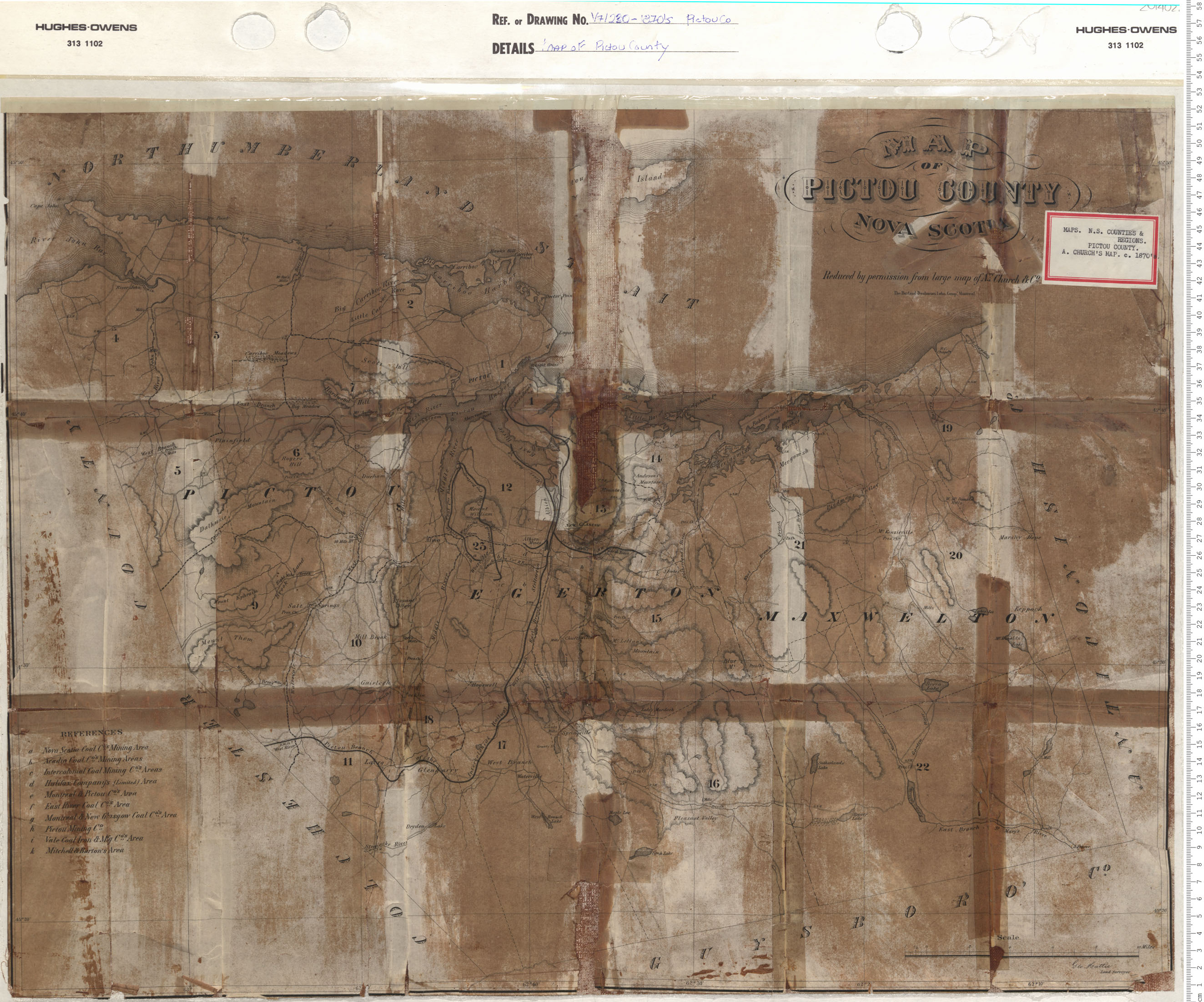
Rough Section of Montreal & Pictou Shaft, New Glasgow, Pictou Co
maps : 202012682
maps : 201402219
maps : 201402291
maps : 201520171
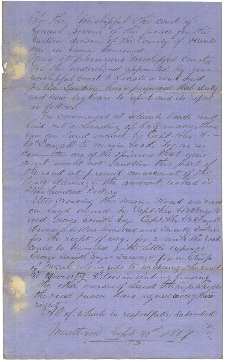
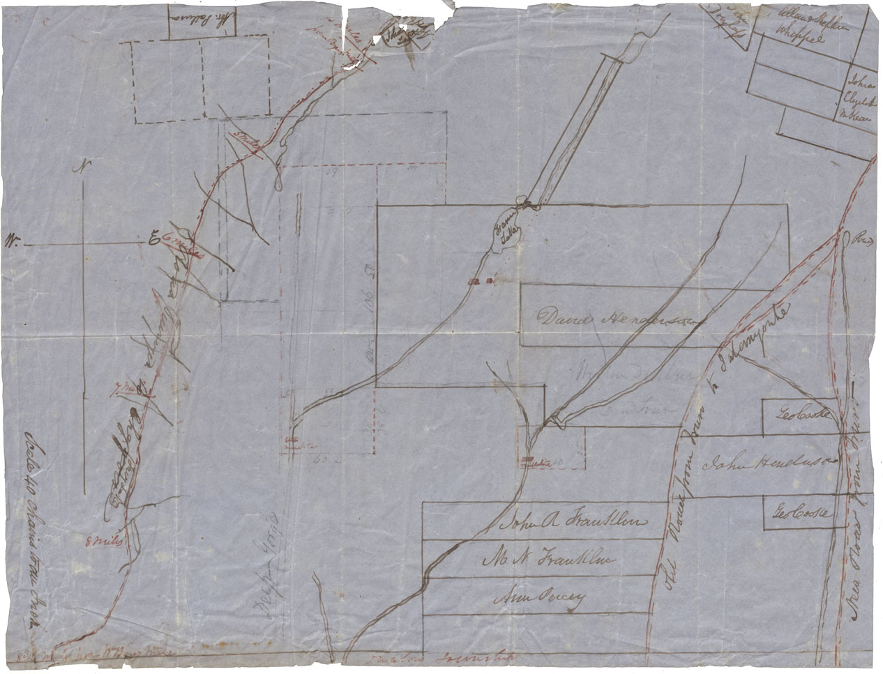
Plan of Road Selmah Beach to main Road
maps : 201602032
Plan of Land between Folly Lake and the Old Cobequid Road
maps : 202012081
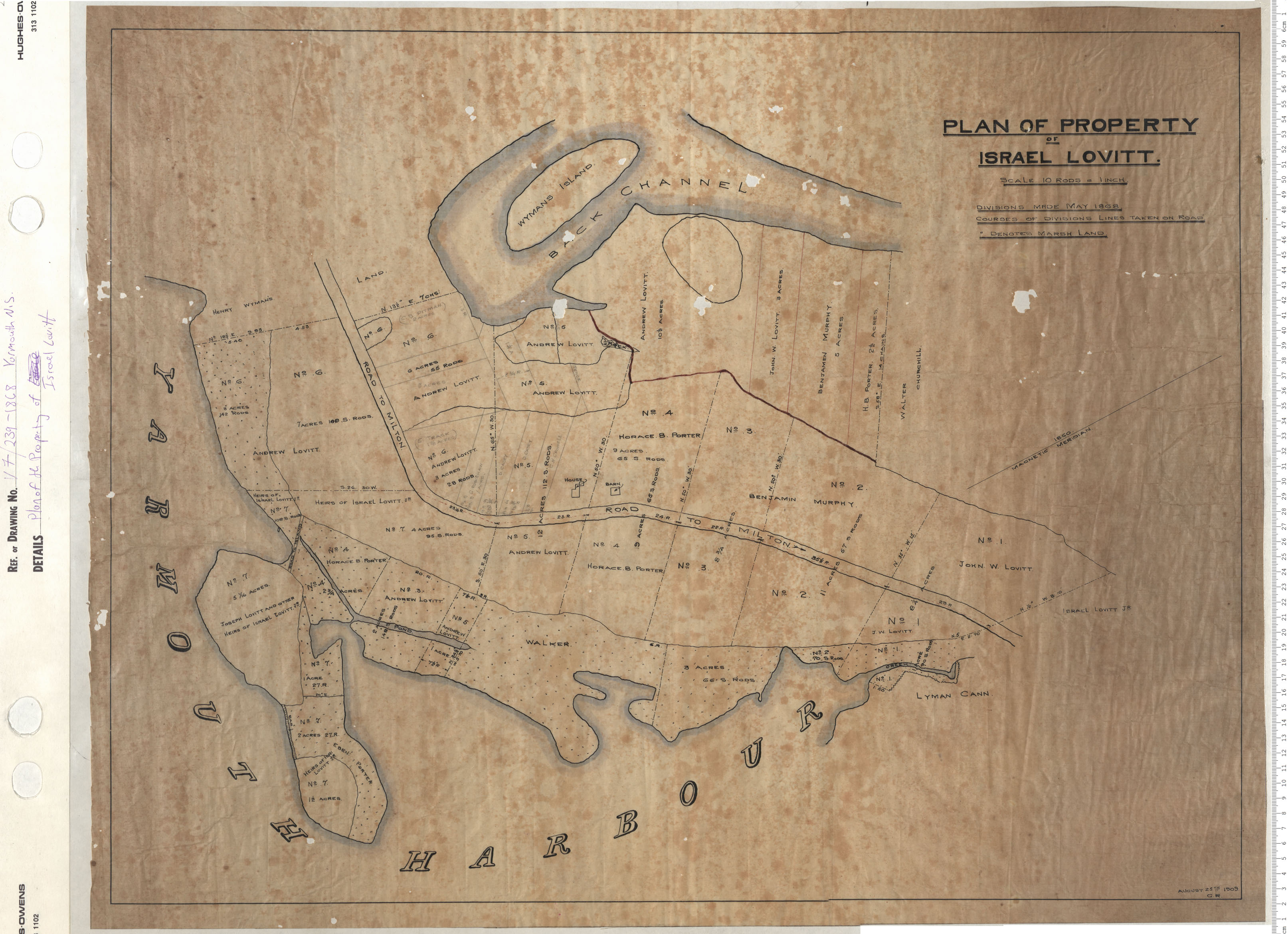
Plan of property of Israel Lovitt
maps : 201402327
maps : 202012084
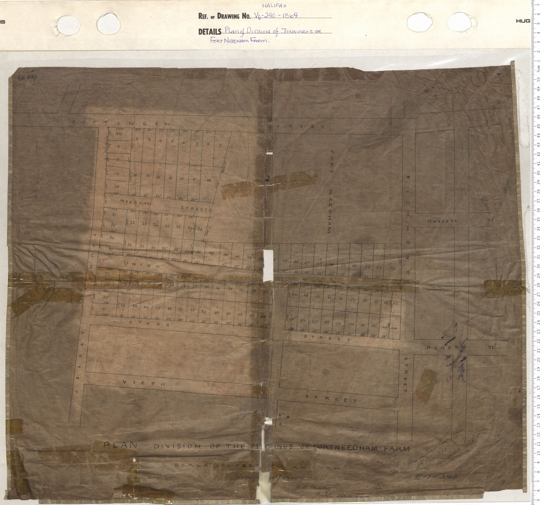
Plan of Division of Jennings or Fort Needham Farm
maps : 201320596
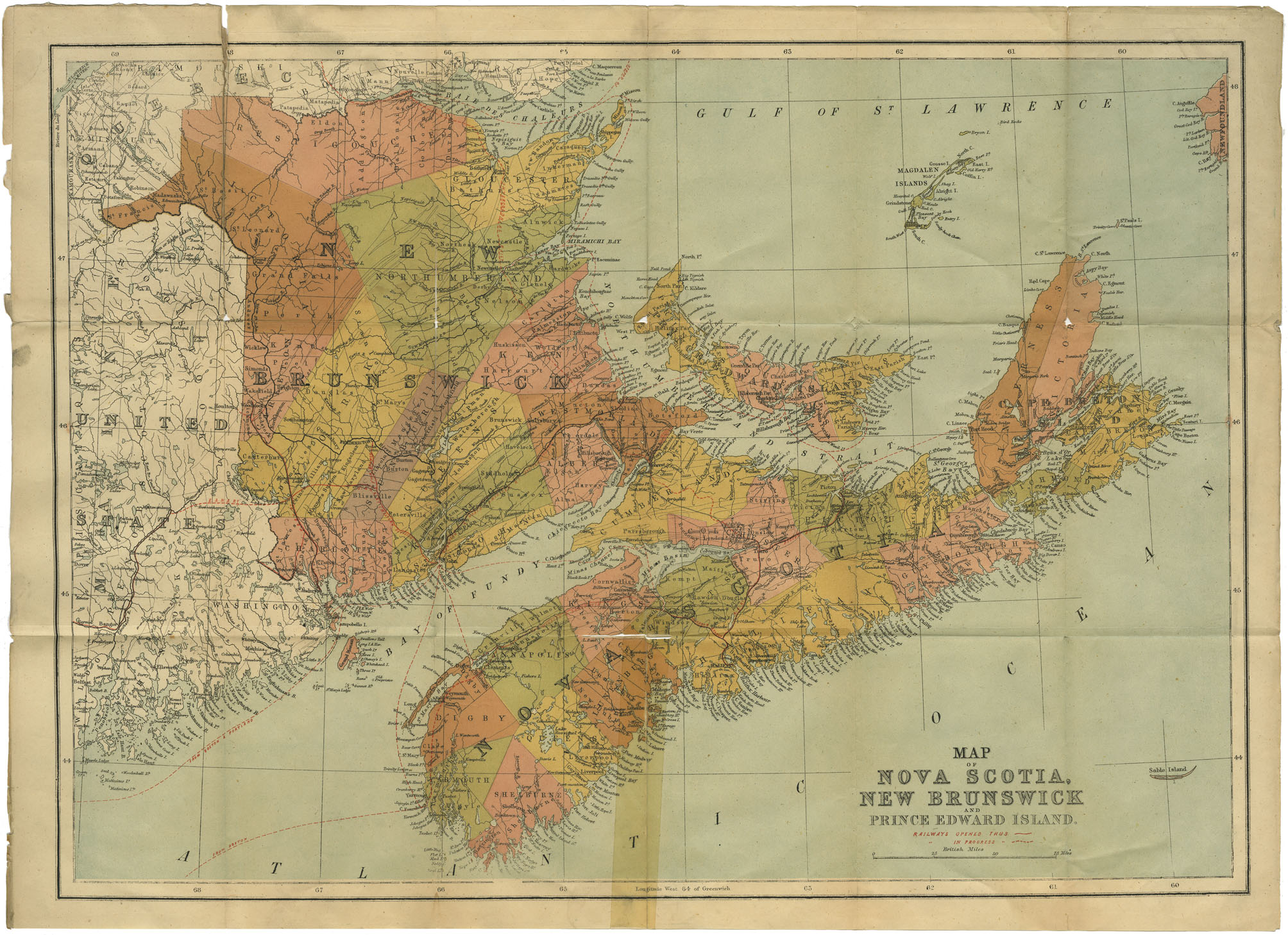
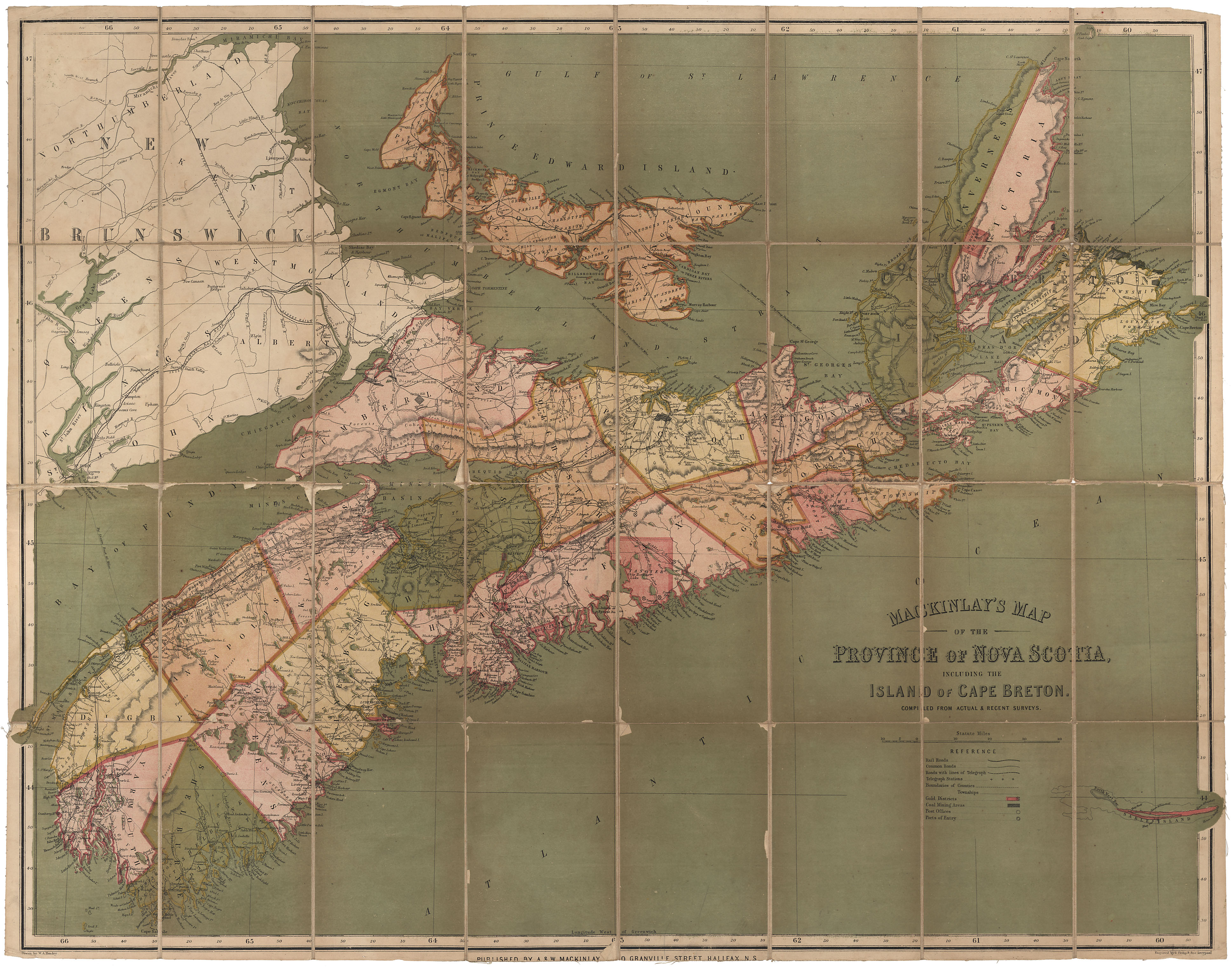
Map of Nova Scotia, New Brunswick & Prince Edward Island
maps : 201520027
maps : 201320597
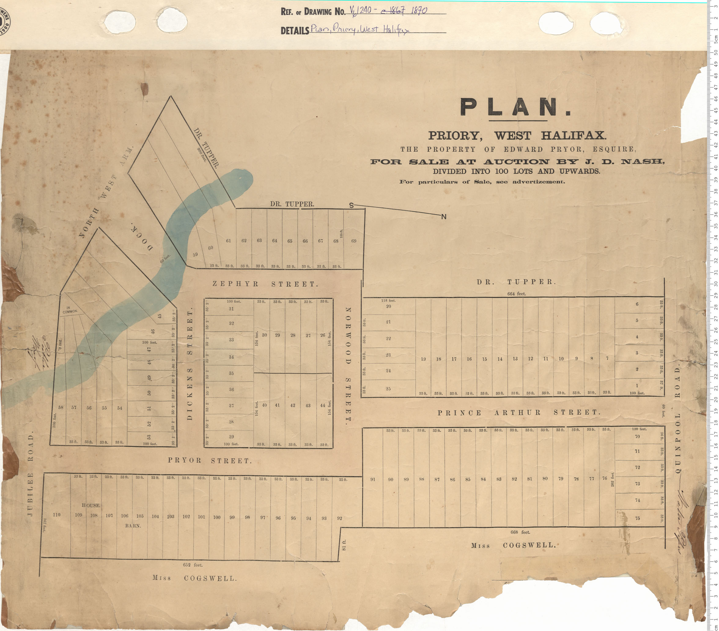
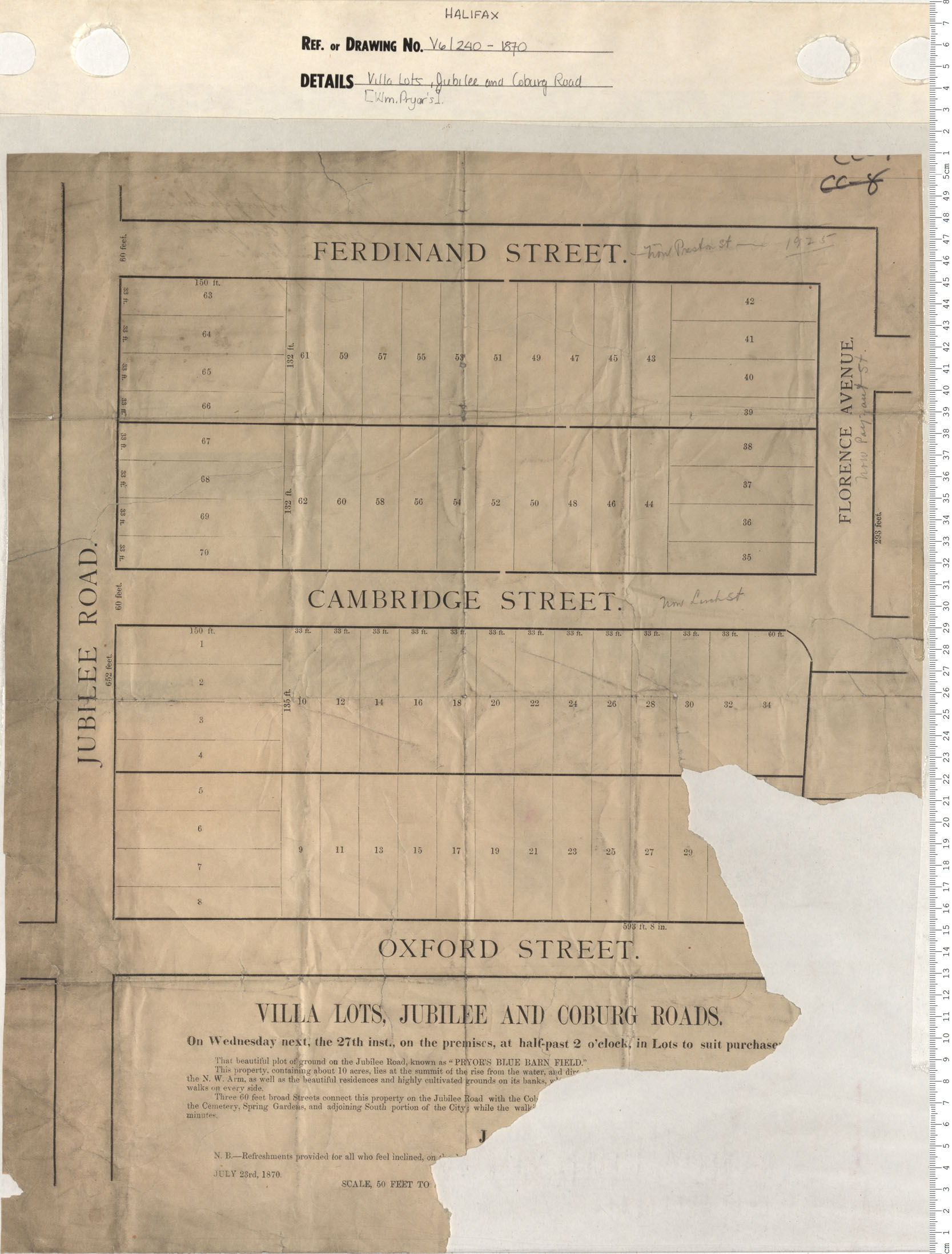
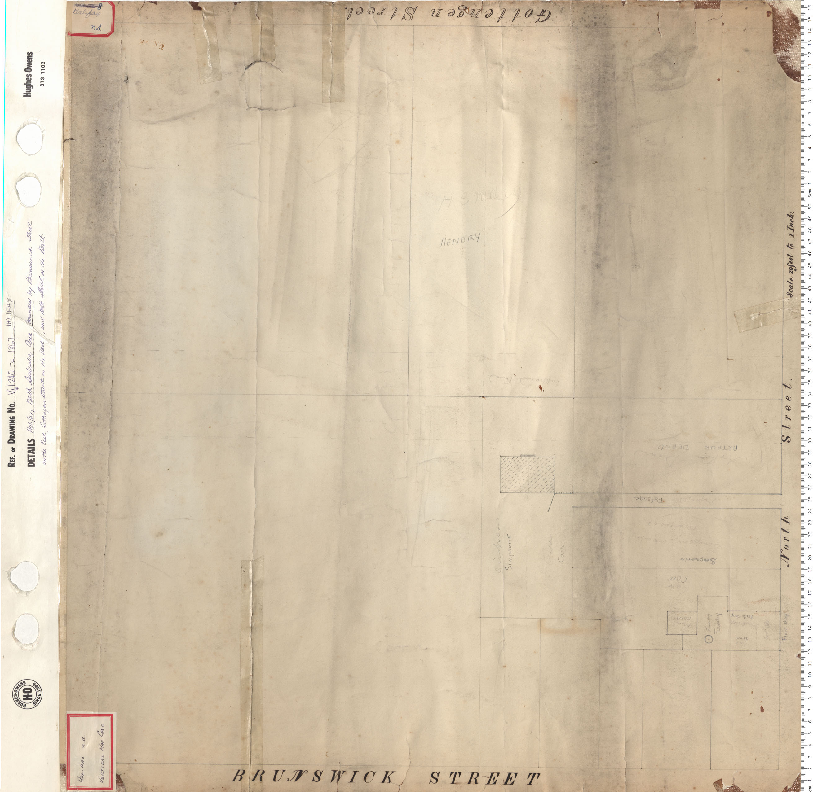
Villa Lots, Jubilee and Coburg Streets
maps : 201320599
maps : 201402220

Plan of No1 Section Shubenacadie Canal
maps : 202012325

maps : 202012574
maps : 202012754
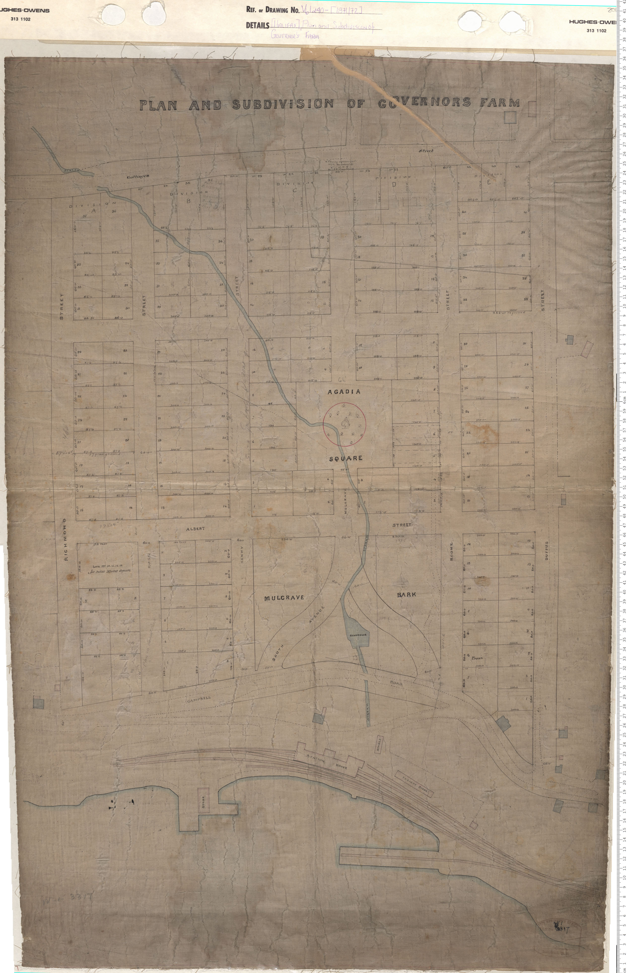
Plan and Subdivision of Governors Farm
maps : 201320600

maps : 201402343
maps : 201602243

maps : 201320601

Map of the lands of Port Hood Mining Company, Inverness County
maps : 201402224

maps : 202012085
maps : 202012125
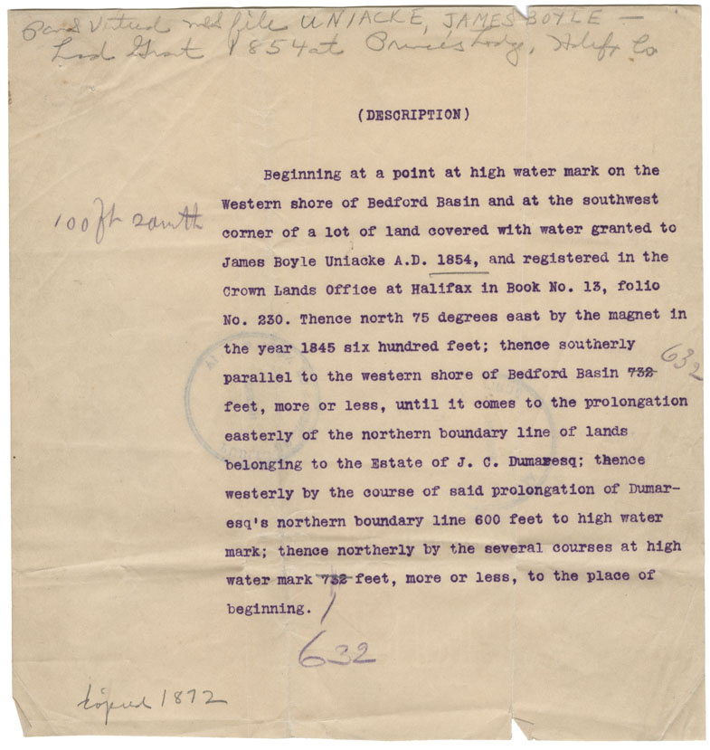
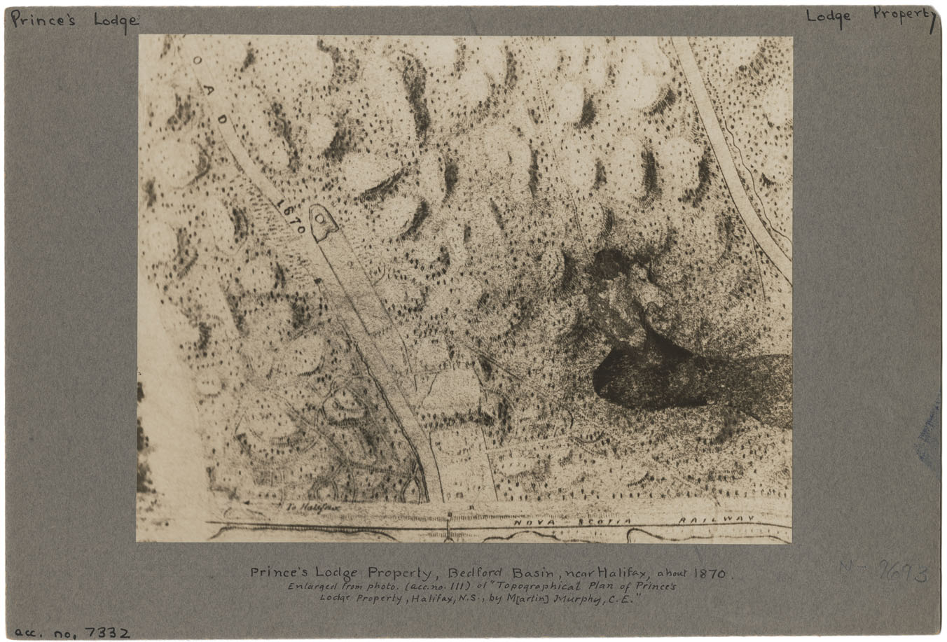
Property of J.B. Uniacke at Bedford
maps : 202012222
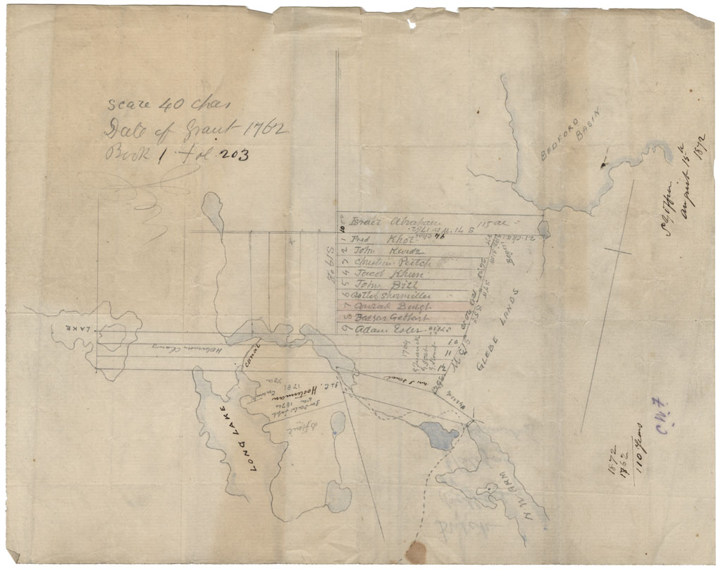
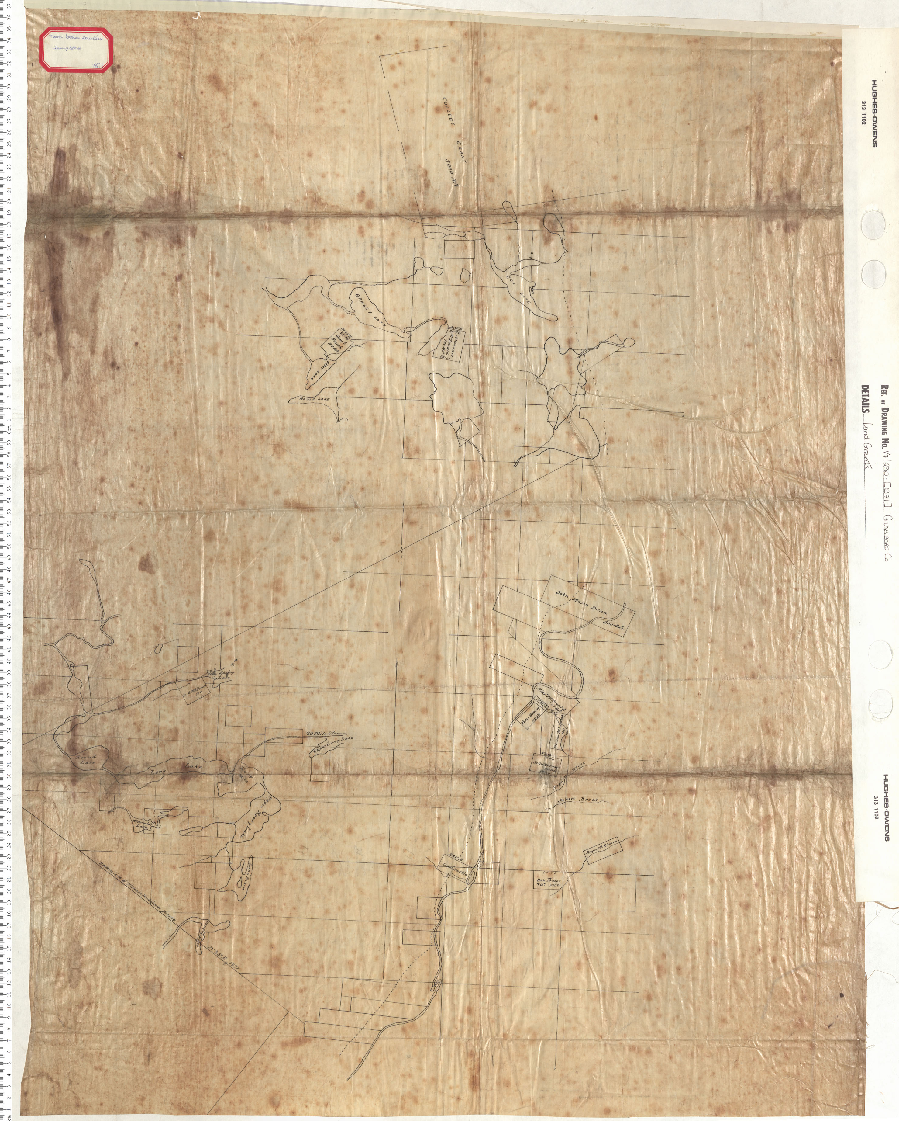
Grants: Dutch Village: Dutch Village Area, 1872
maps : 202012410
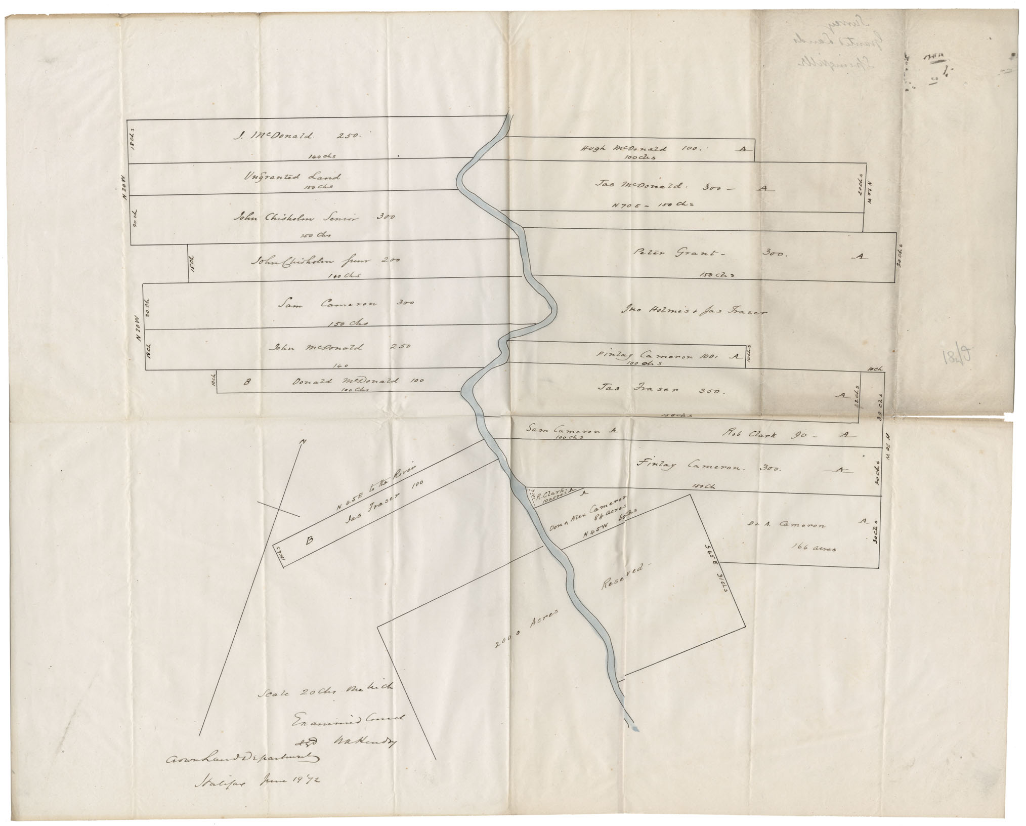
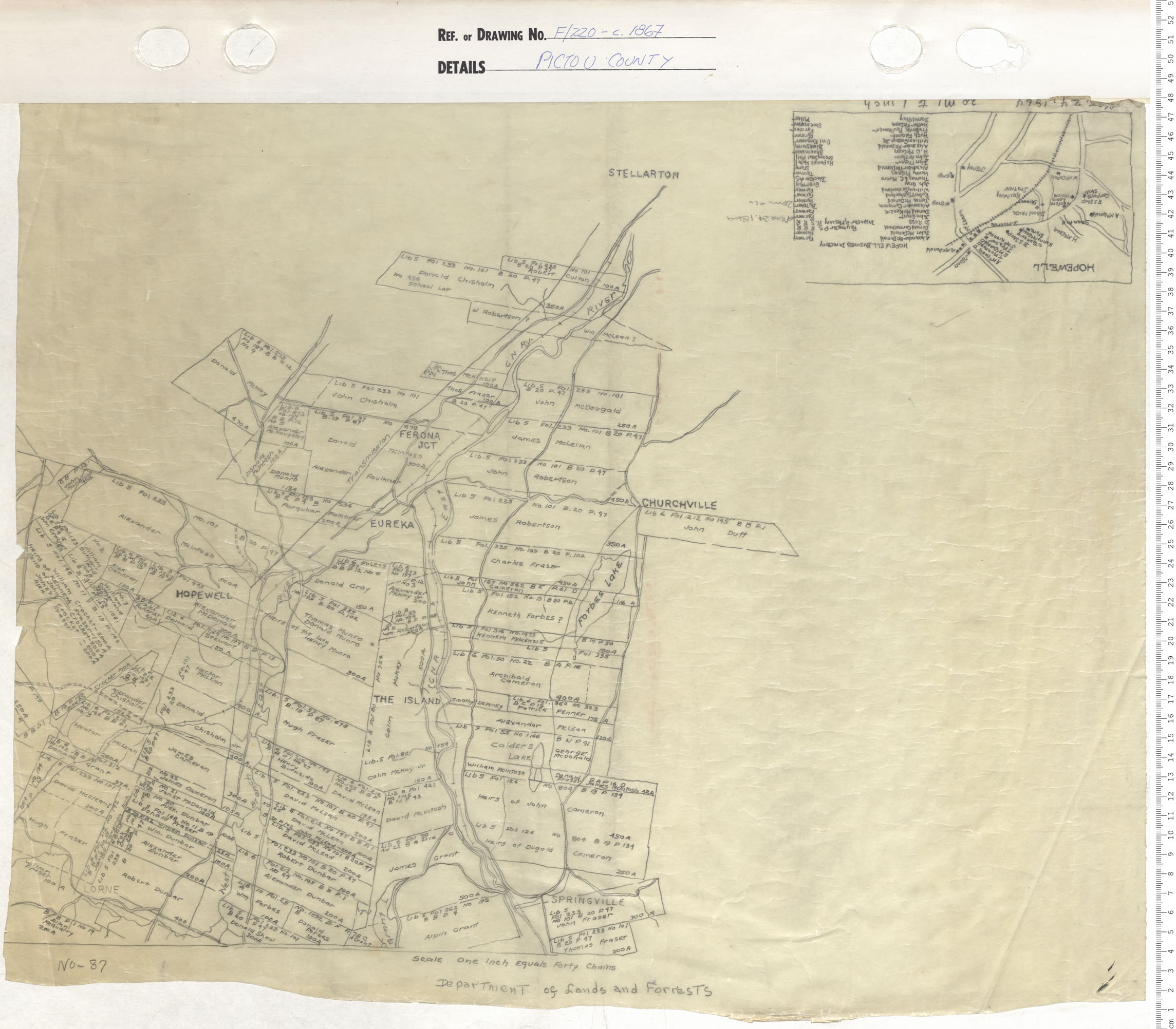
Survey of Granted Lands Springville
maps : 202012813
maps : 202013578
Additional Search Tools
Need more results? The Search box in the top right corner looks for digitized content only and does not full-text search our website.
- To search our Nova Scotia Births, Marriages, and Deaths click the Nova Scotia Genealogy button below.
- To search descriptions in the archival holdings catalogue, click the Archival Holdings button below.
- To search items in the library holdings catalogue, click the Library Holdings button below.
- To Google search all our websites click the Google button below
Images Nova Scotia Genealogy Archival Holdings Library Holdings Google Site Search