Nova Scotia Archives
Search
Results 673 to 720 of 2049 from your search: map
Note: if what you see below isn't quite what you're looking for, or if you're looking for results from different areas of our website, try our Additional Search Tools or Google
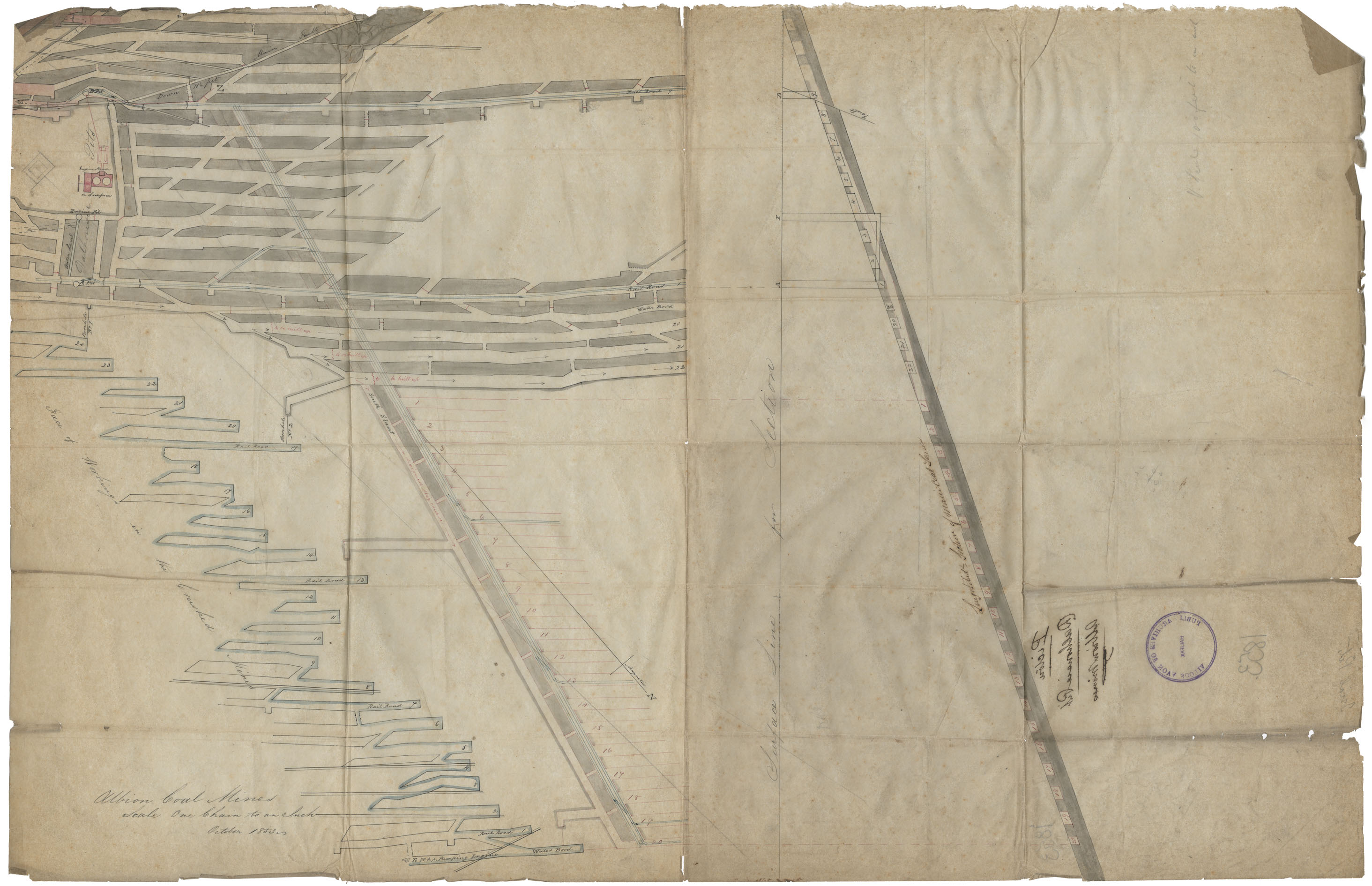
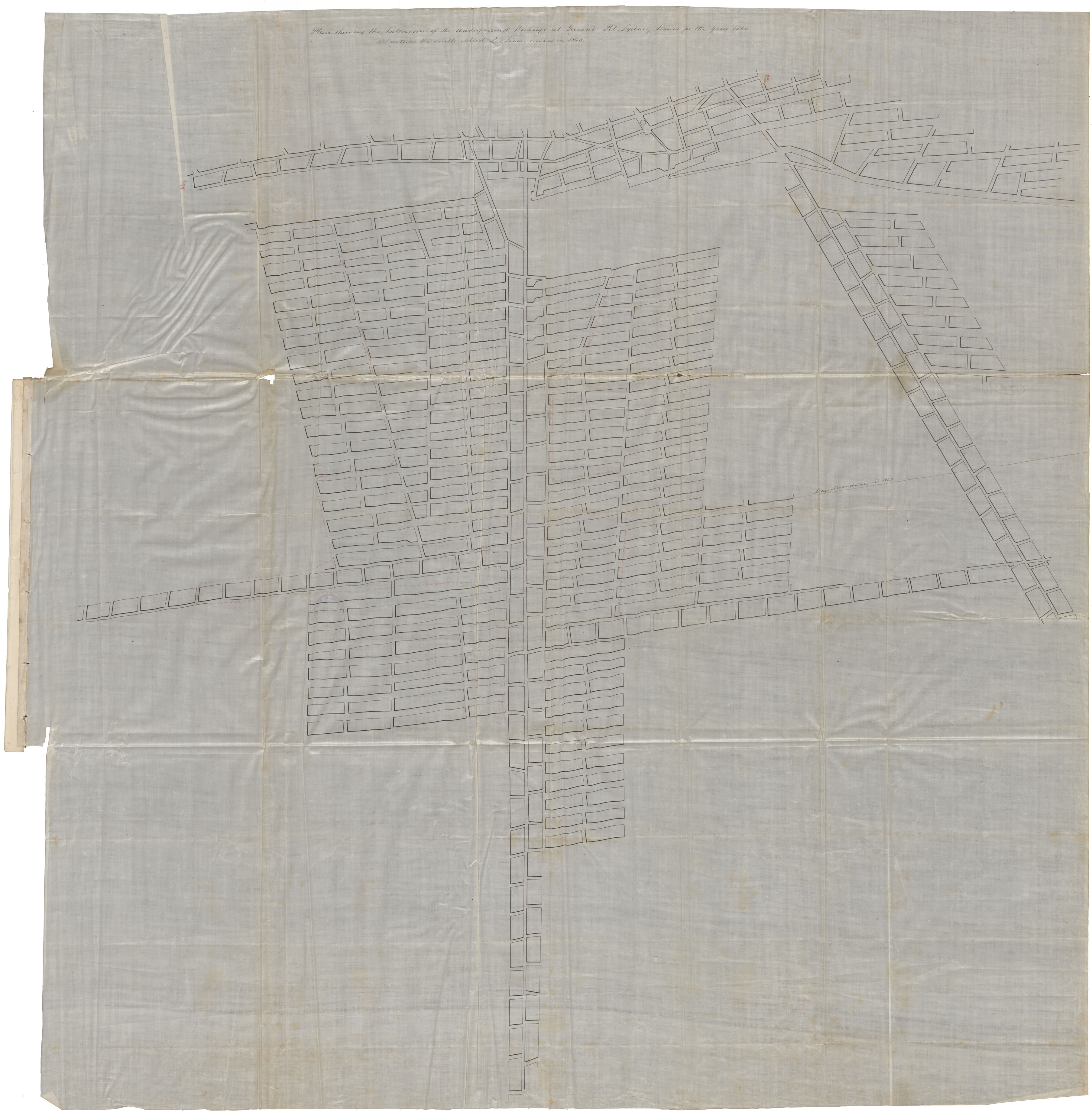
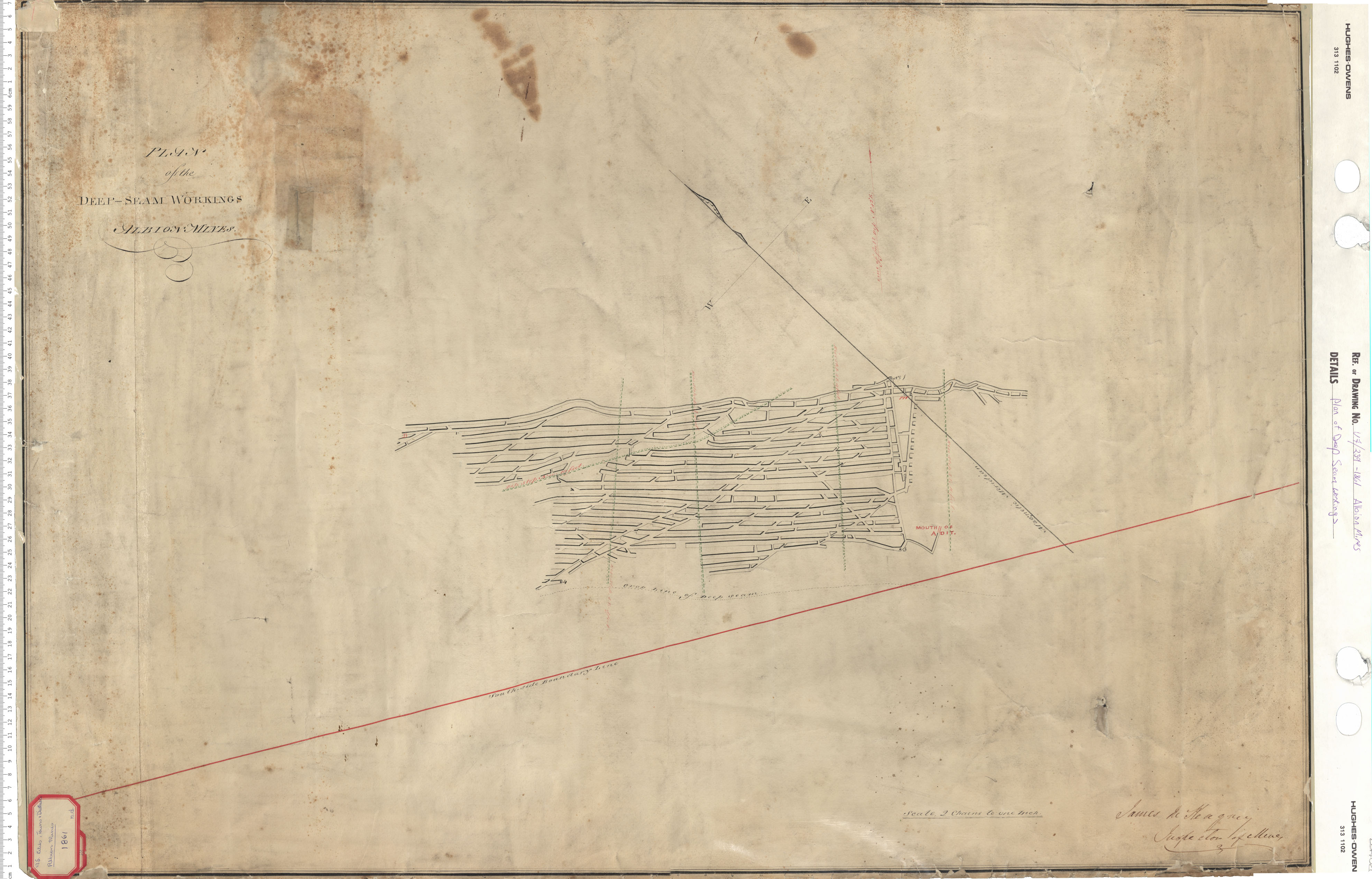
Albion Coal Mines, Dalhousie Pit
maps : 202012143

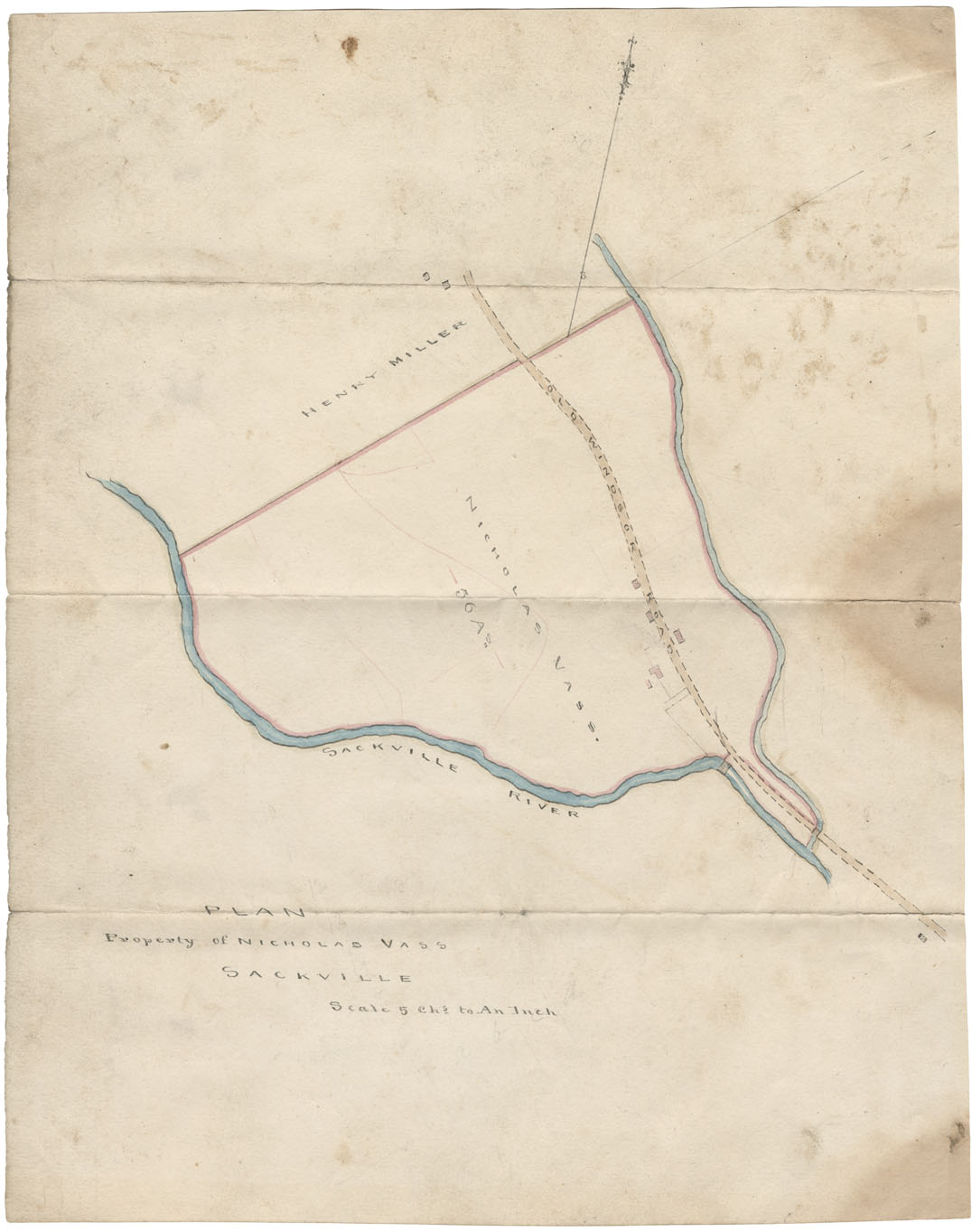
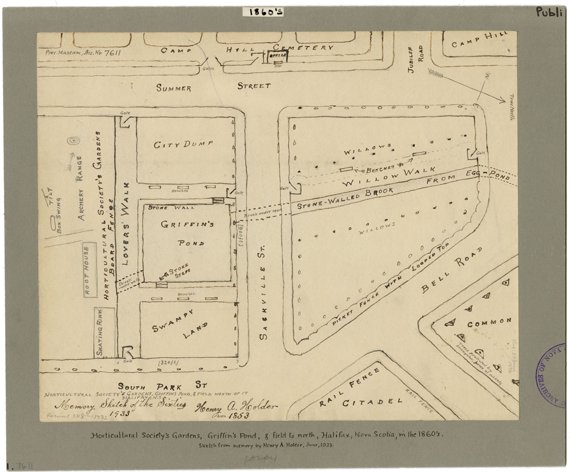
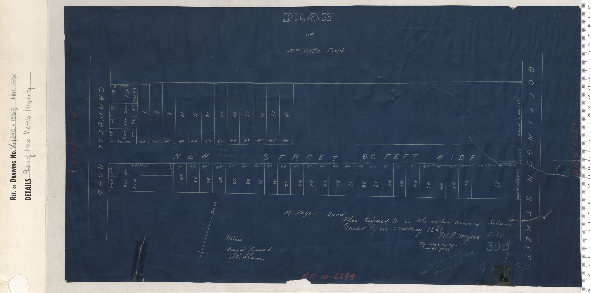
Dartmouth, Property along the 1st Dartmouth Lake
maps : 202012319
Map: Crown lands: Samuel P. Fairbanks
maps : 202012767
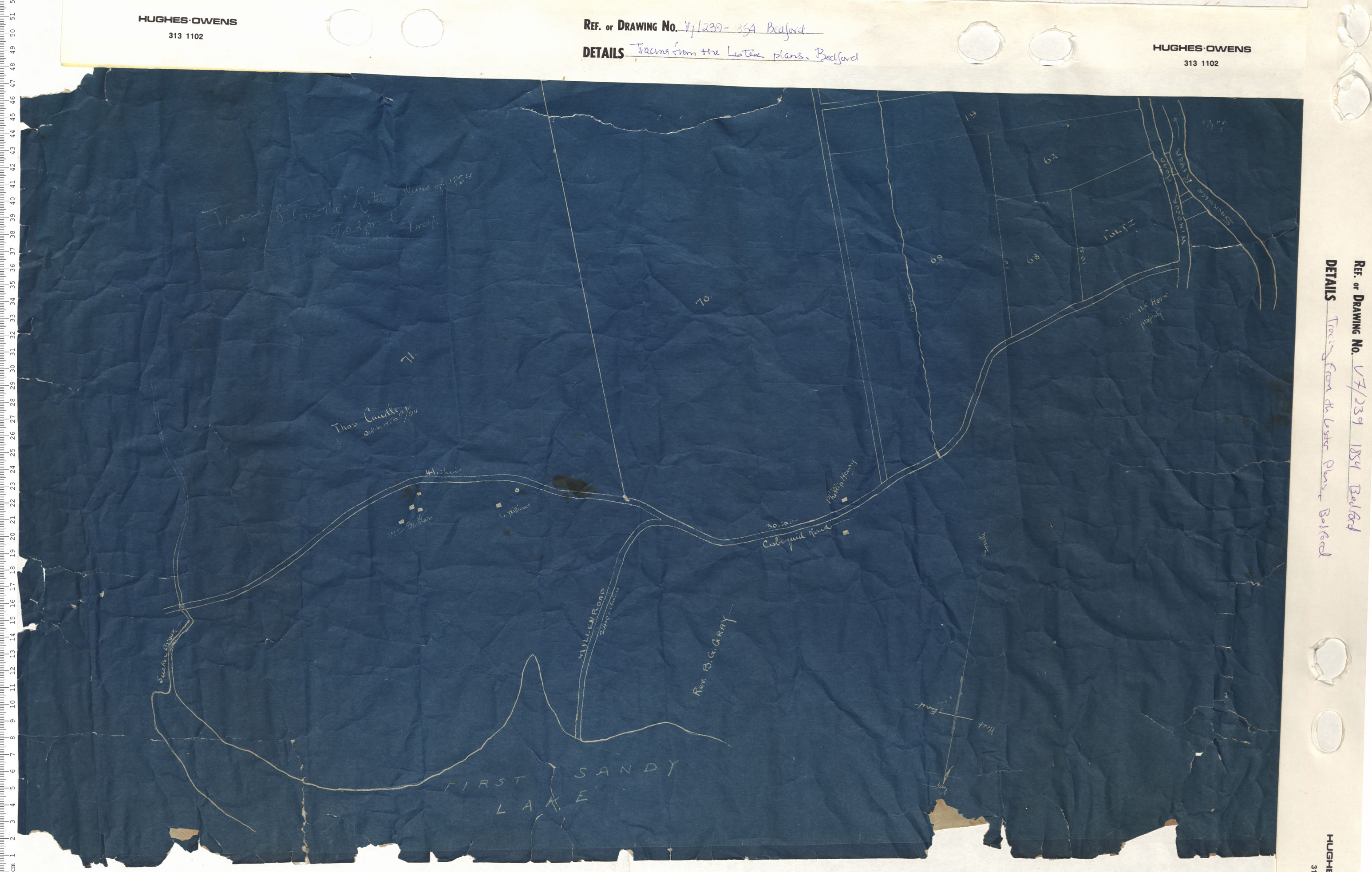
Tracing from the Lister plans, Bedford
maps : 201402015
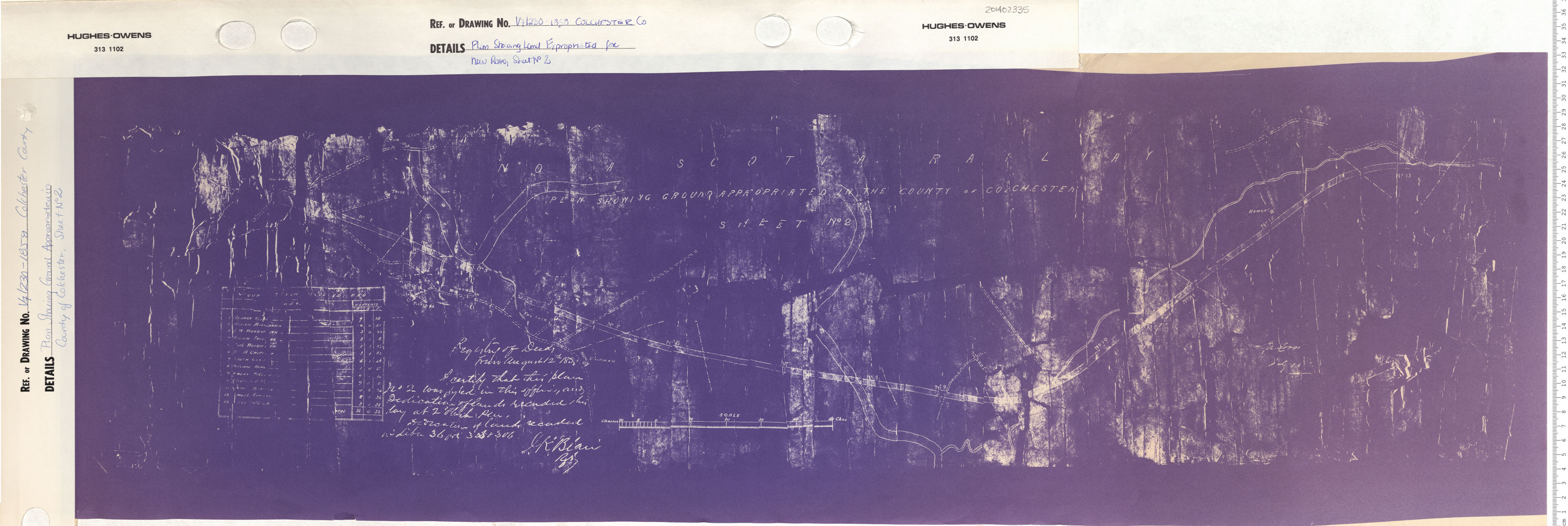
maps : 201402267
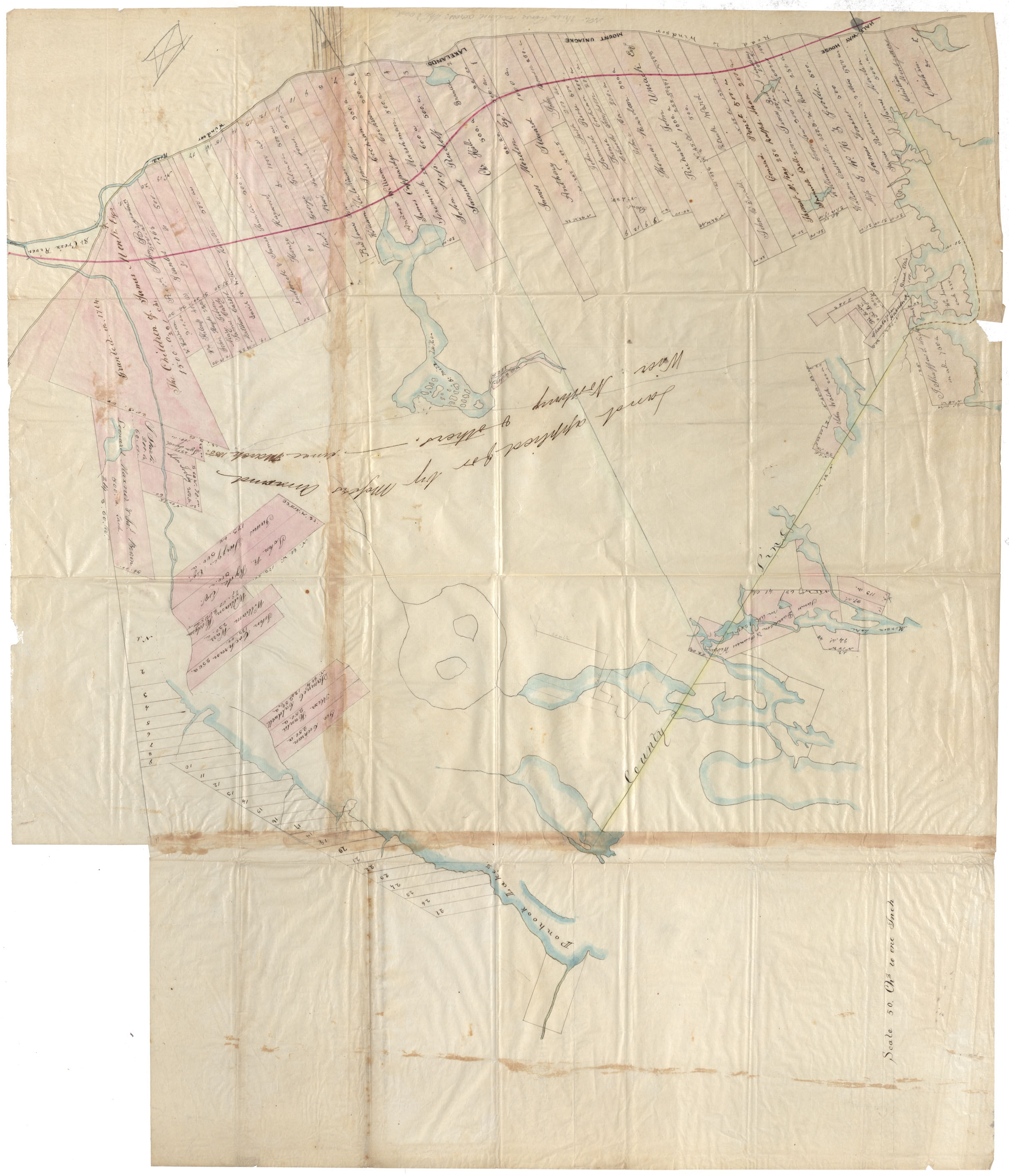
Hants County Hants County, 1856
maps : 202012028
maps : 202013951
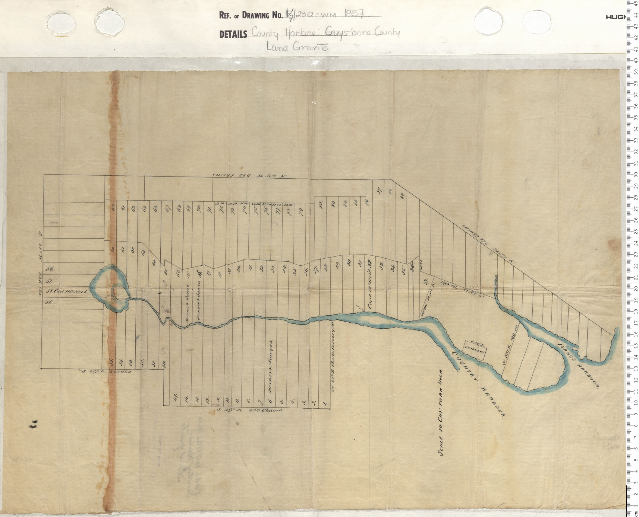
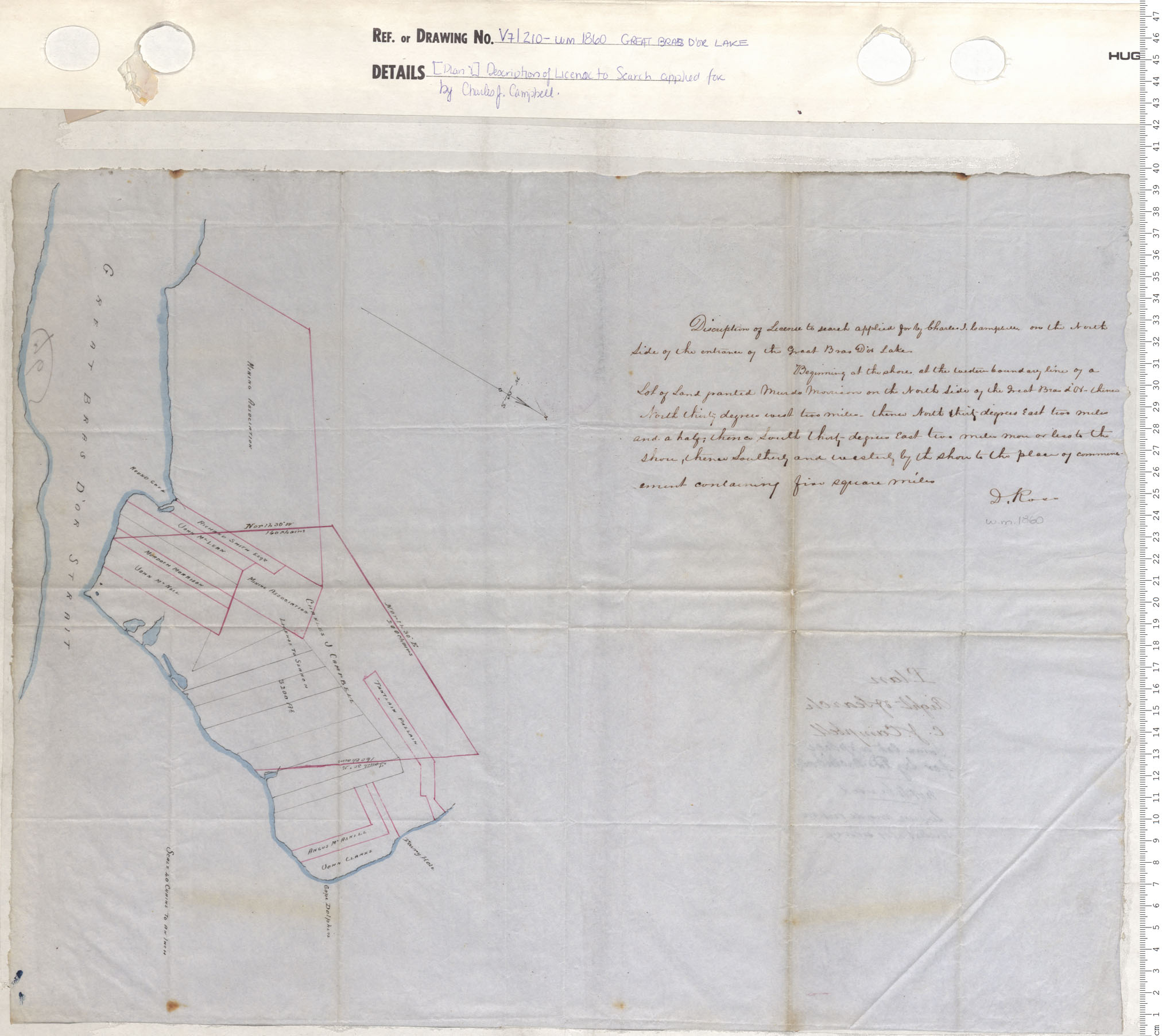
County harbour, Guysborough County, Land Grants
maps : 201402060
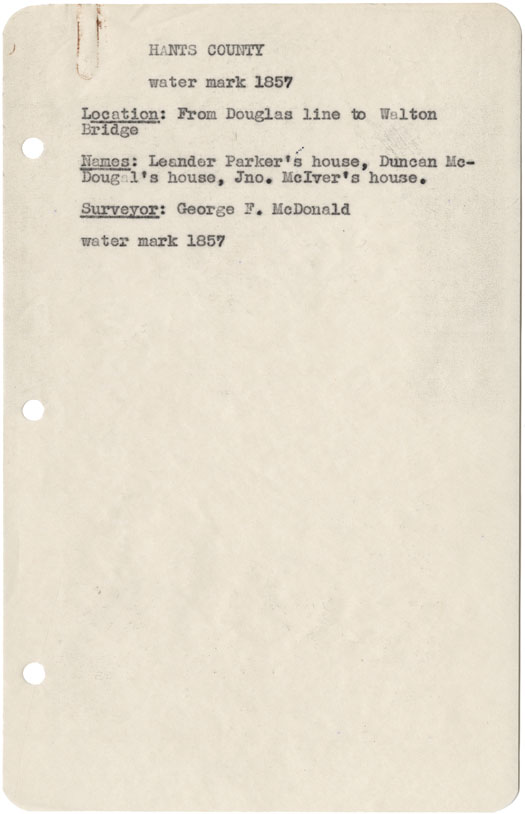
Hants County from Douglas line to Walton Bridge w.m.1857
maps : 202012031
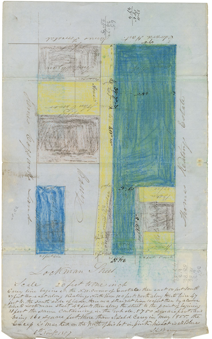
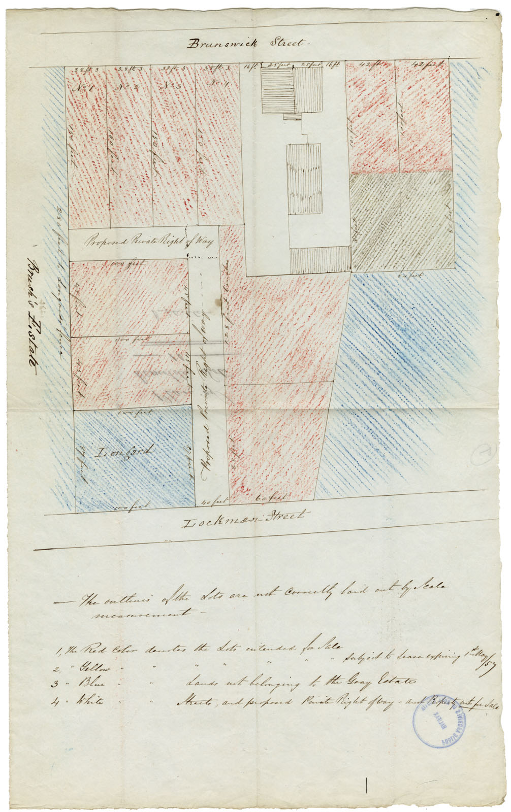
Plan: Mr Barrys Lots Lockman Street
maps : 202013566
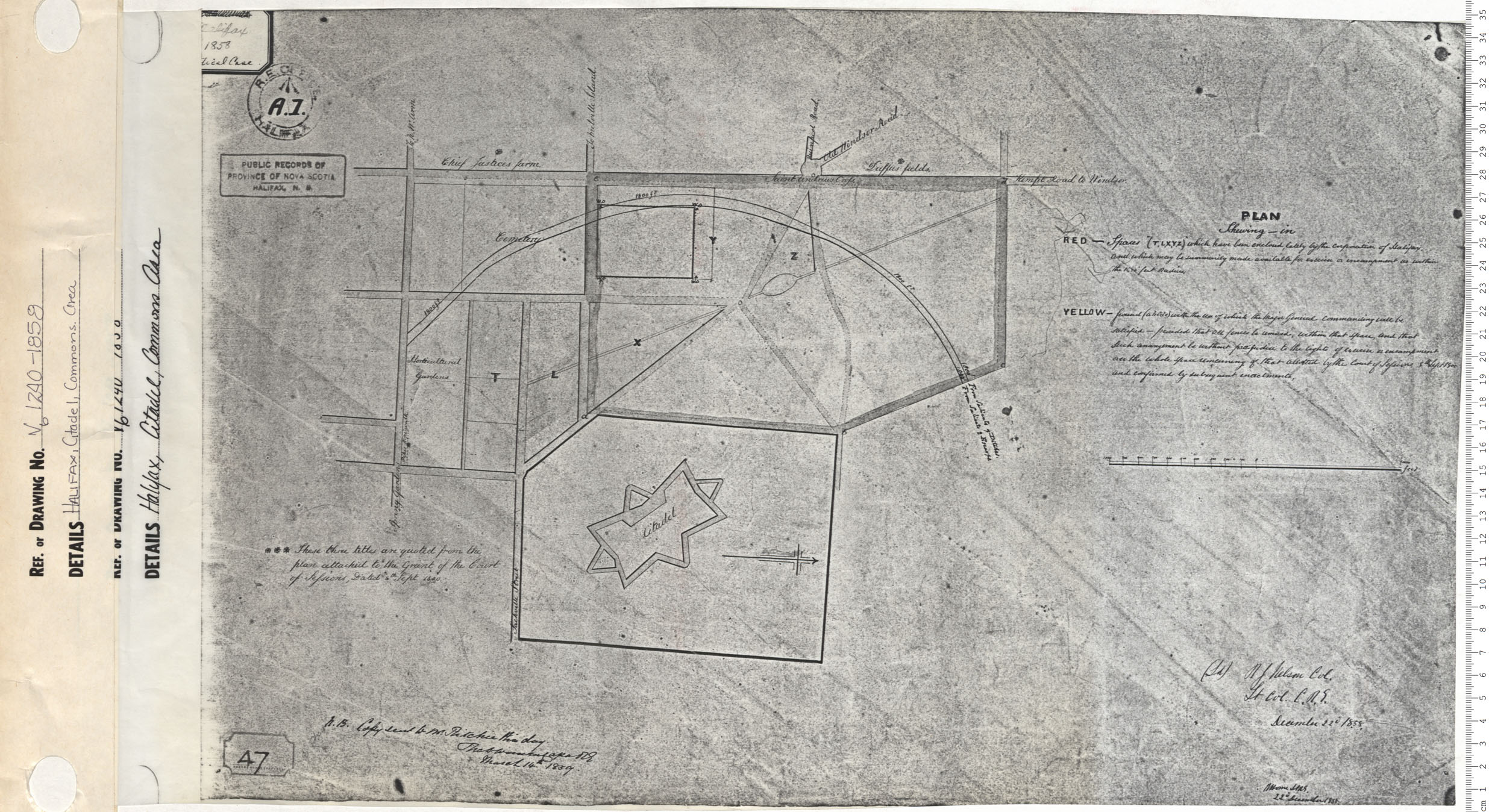
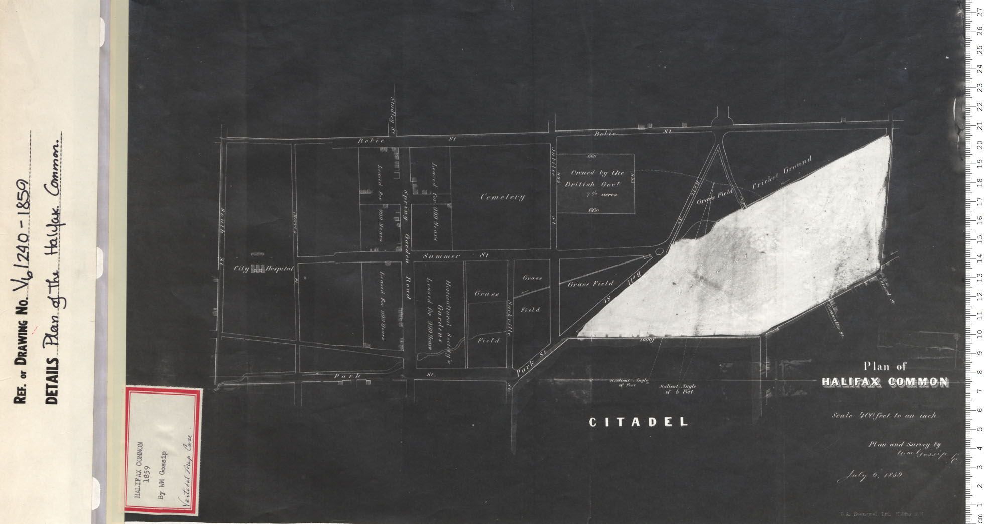
Halifax, Citadel, Commons Area
maps : 201320582
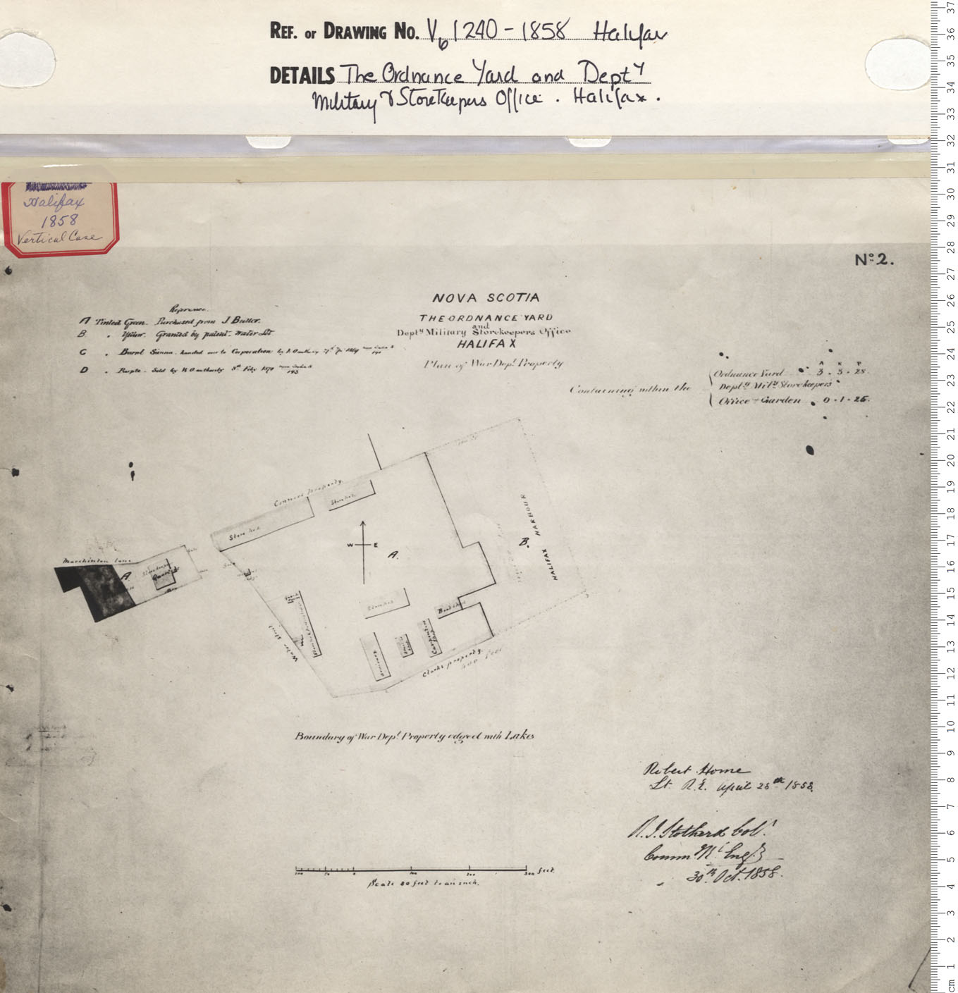
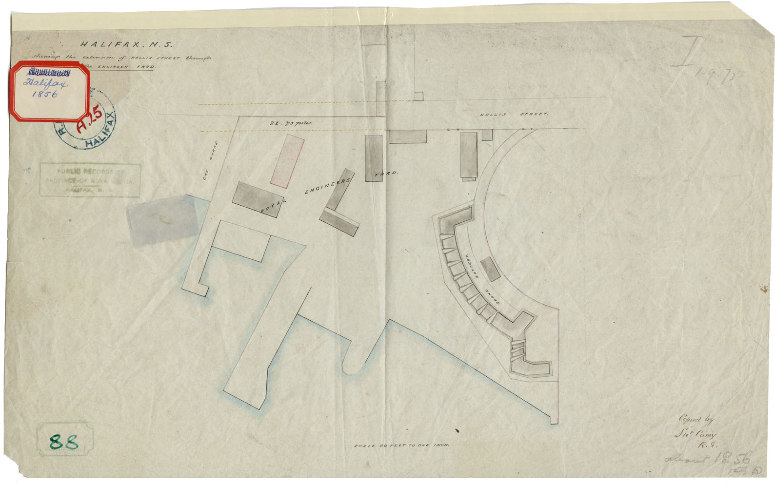
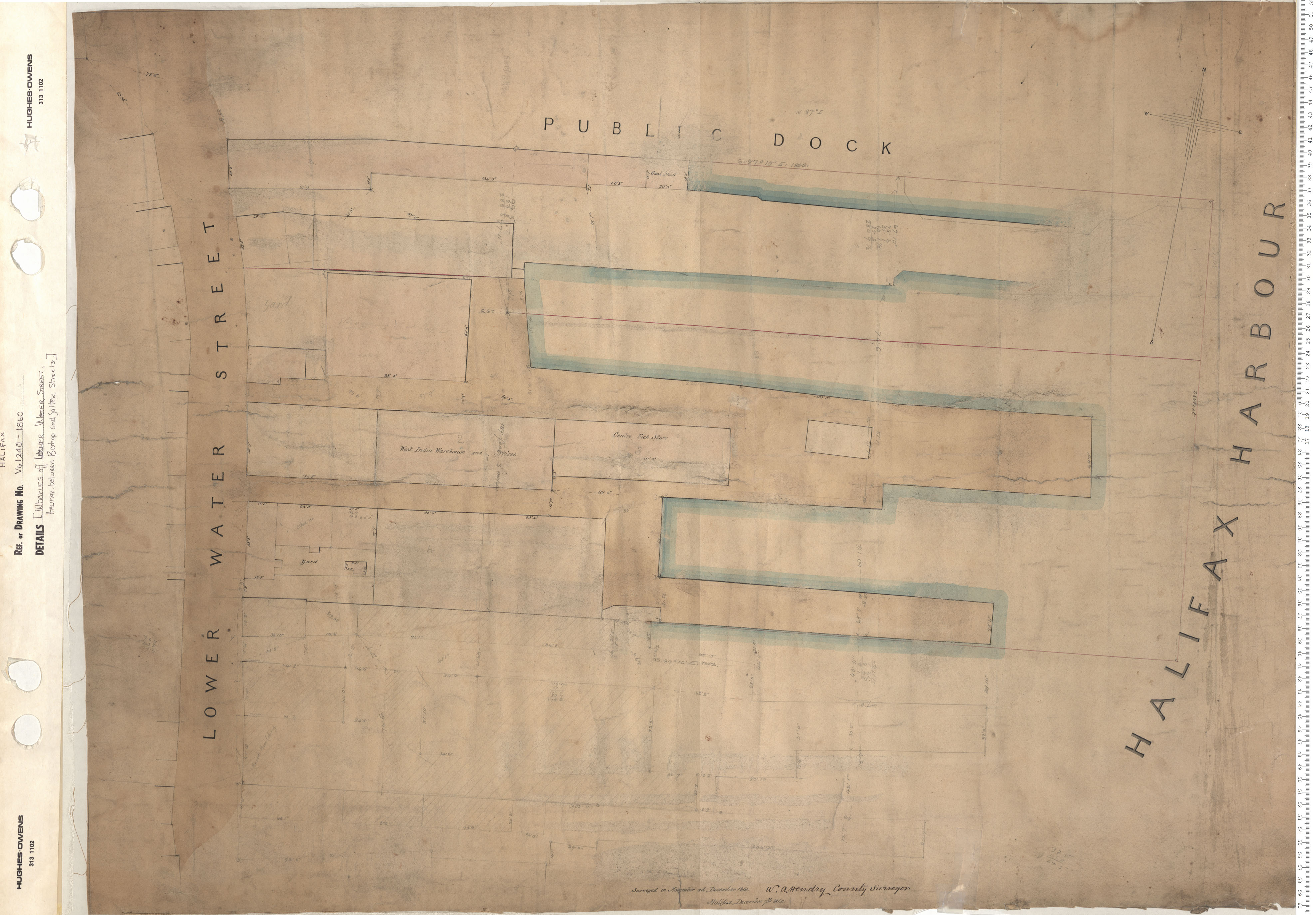
The Ordnance Yard and Dept. Military & Storekeepers Office
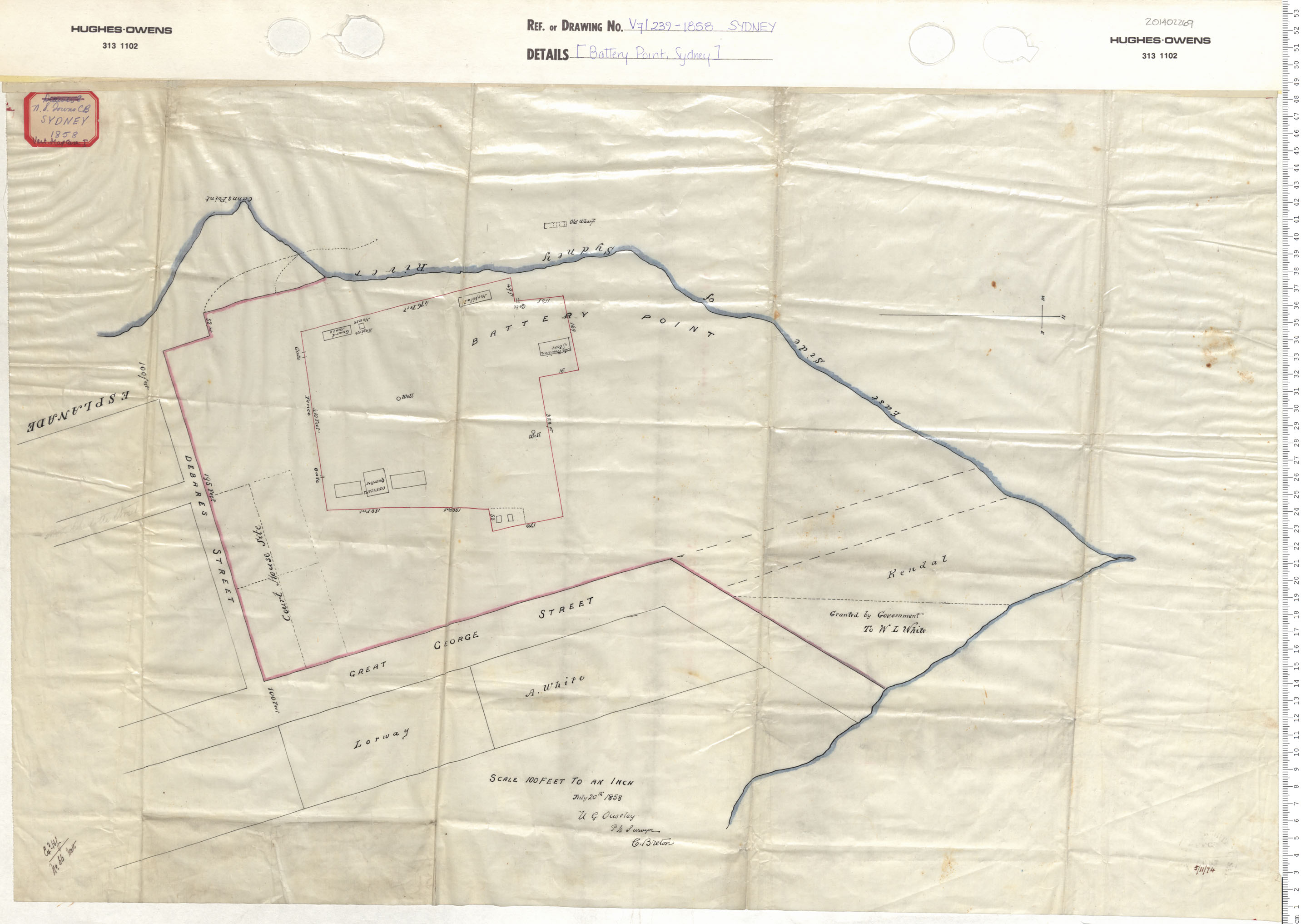
maps : 201320583
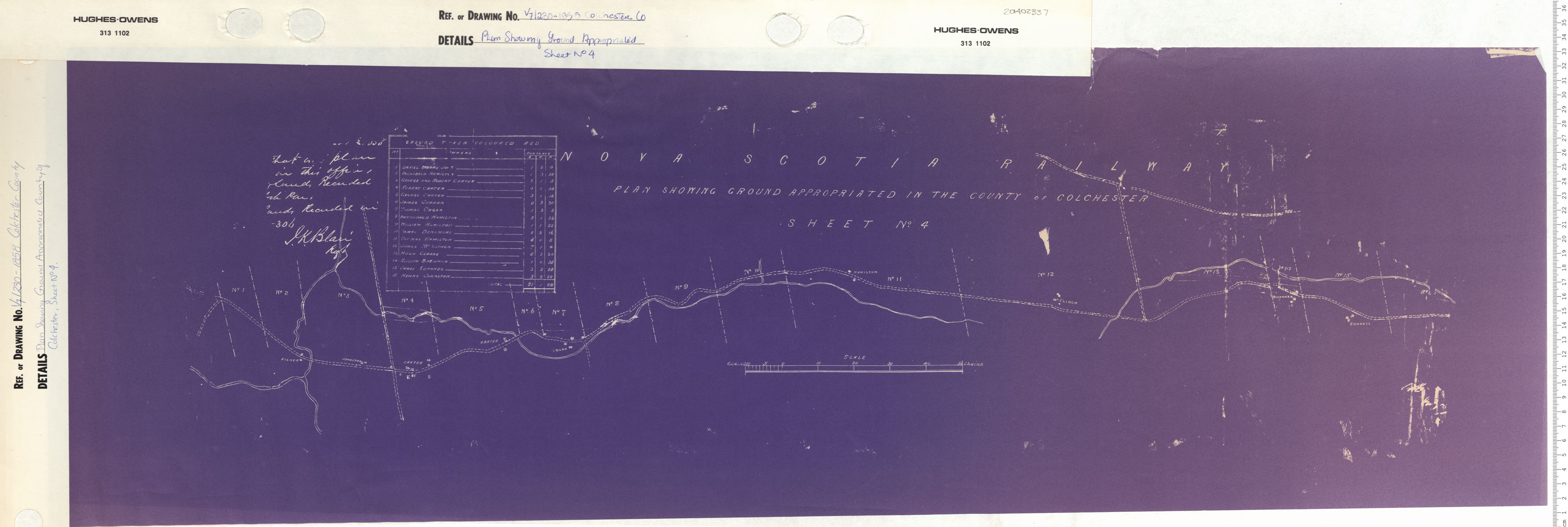
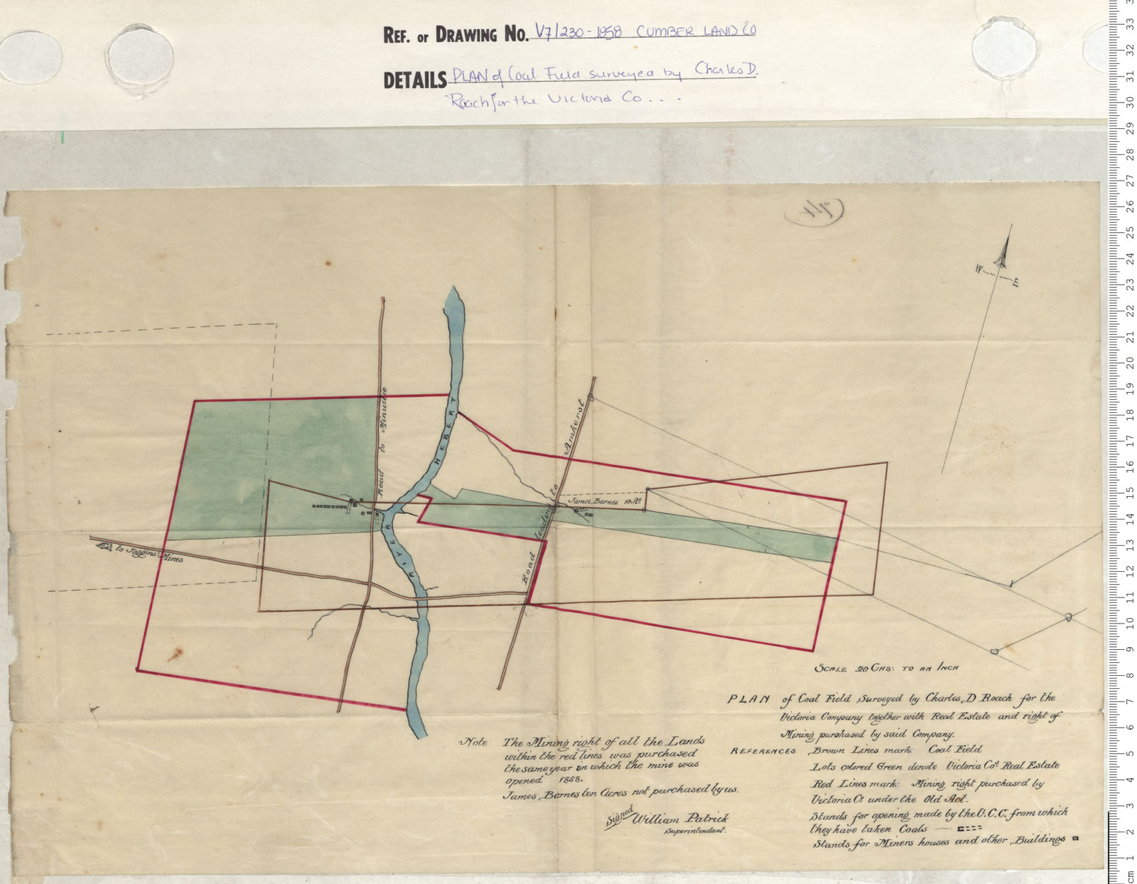
maps : 201402269
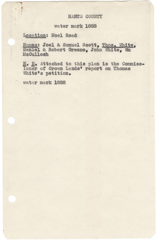
Hants County Noel Road w.m.1857
maps : 202012034
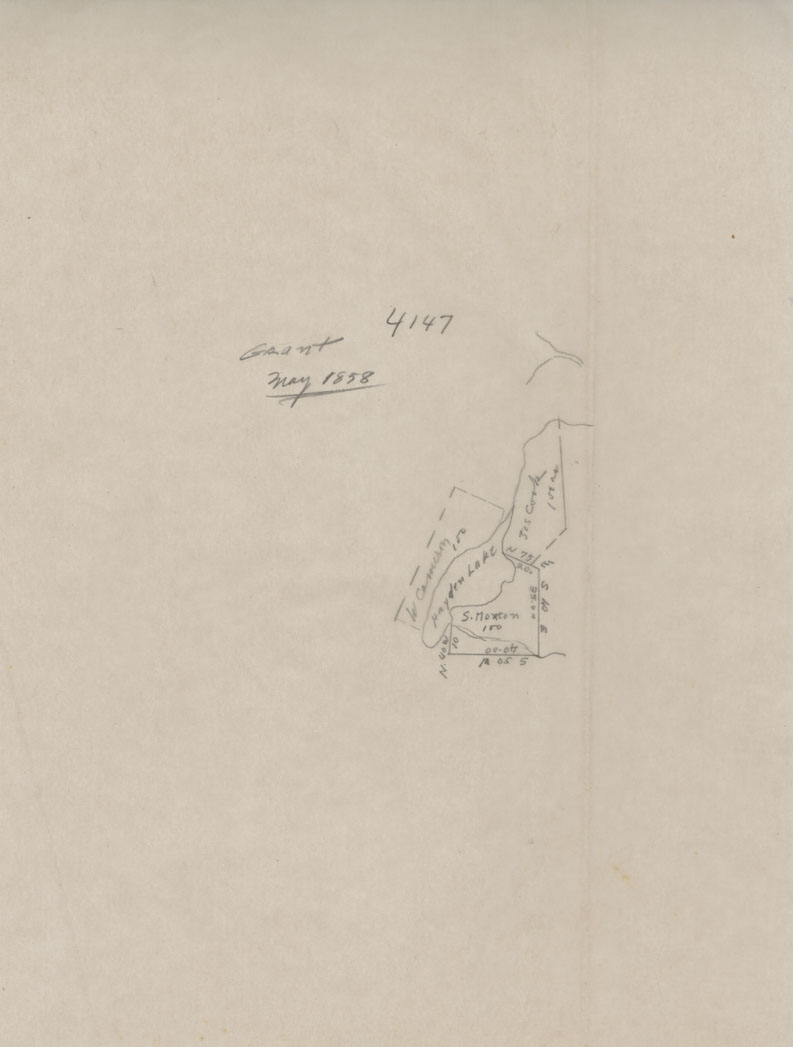
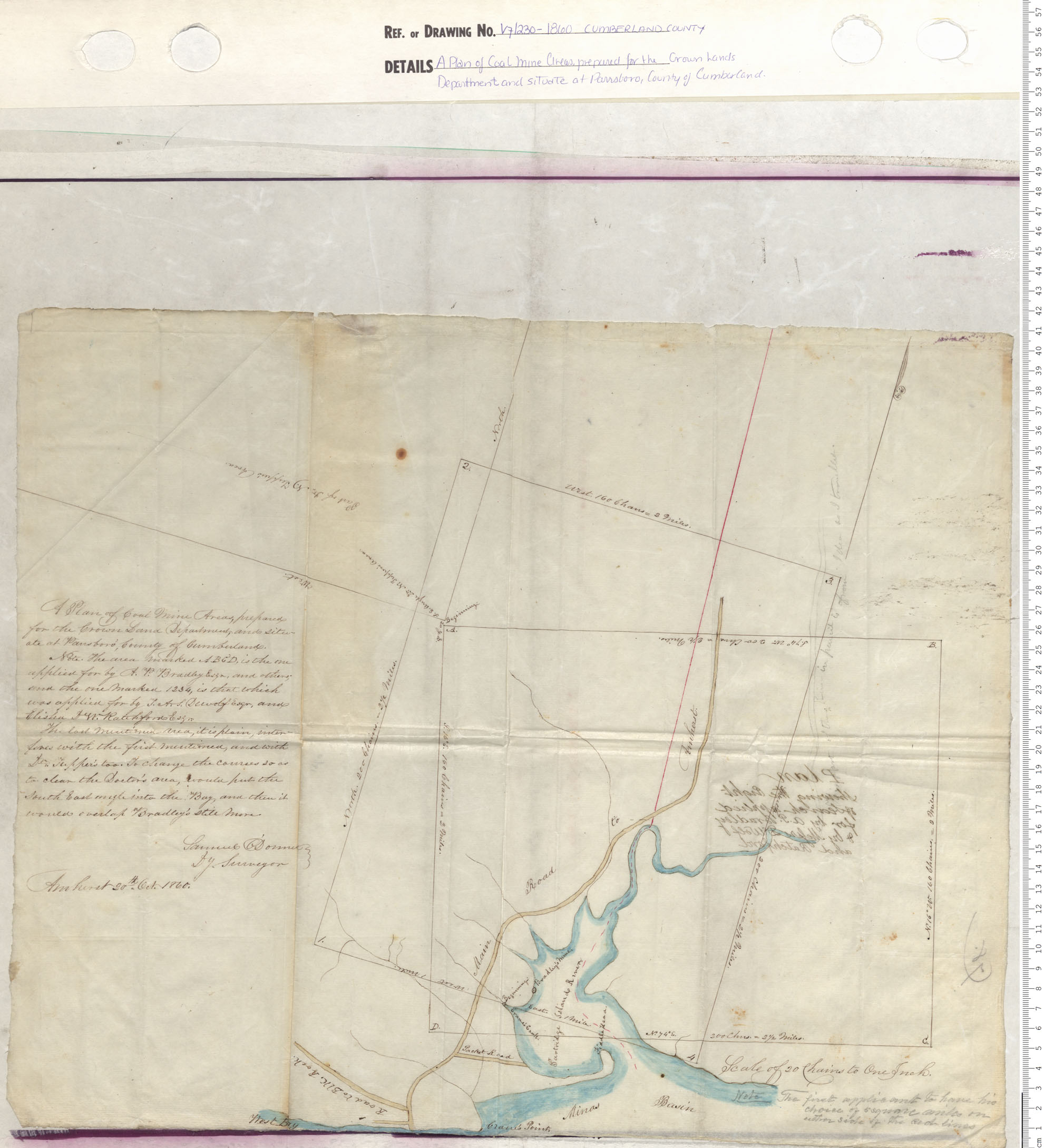
Sketch of Grant No. 4147 S. Morton 100 Acres
maps : 202012108
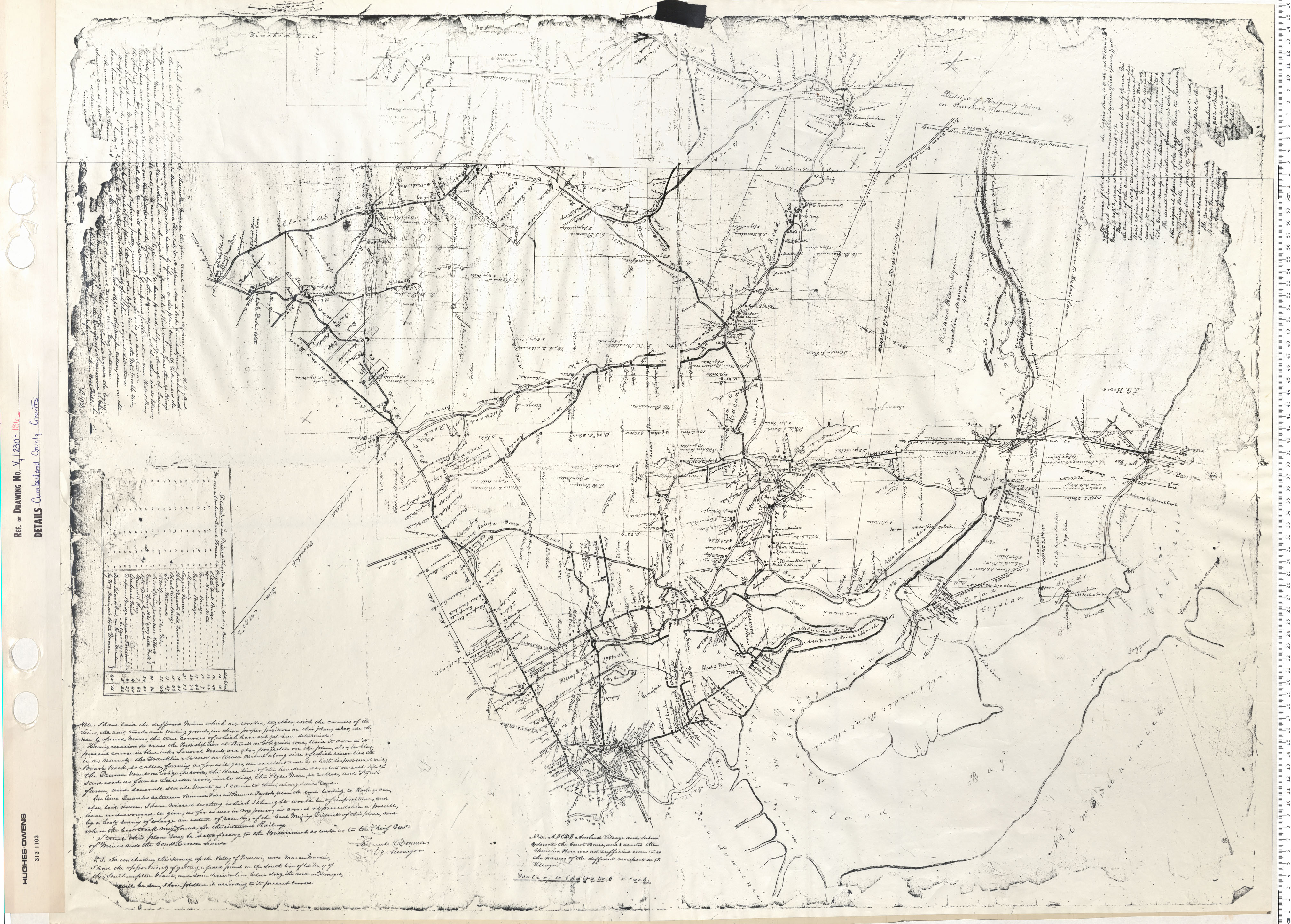
maps : 202012266
maps : 201320584
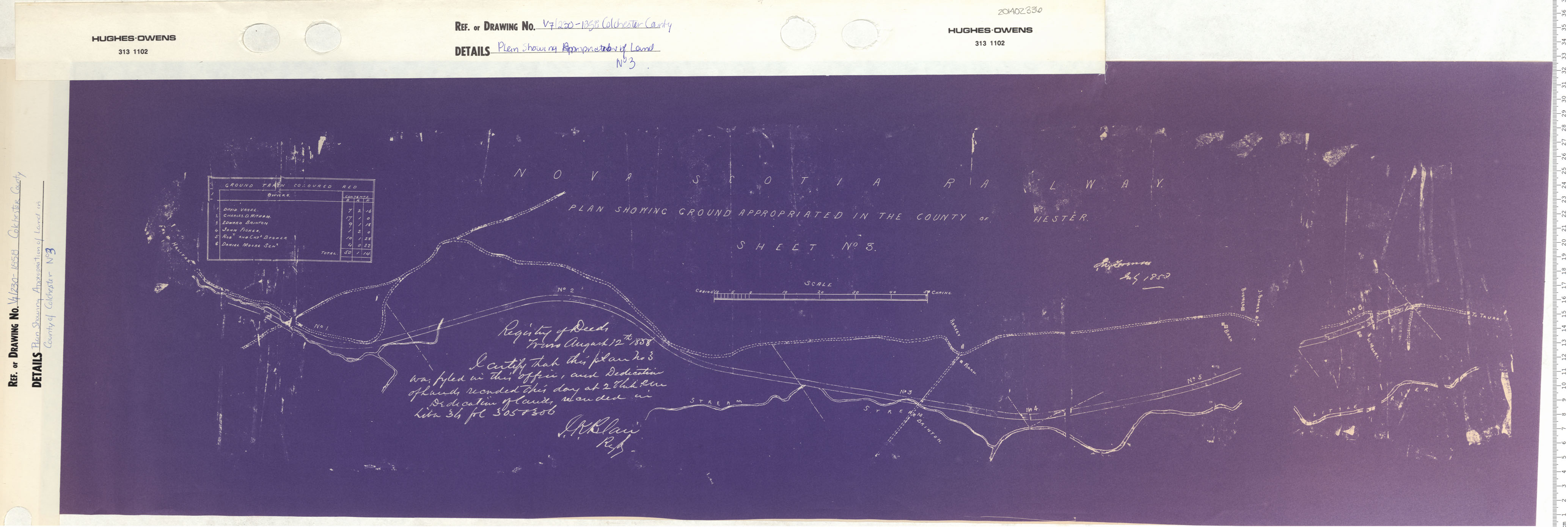
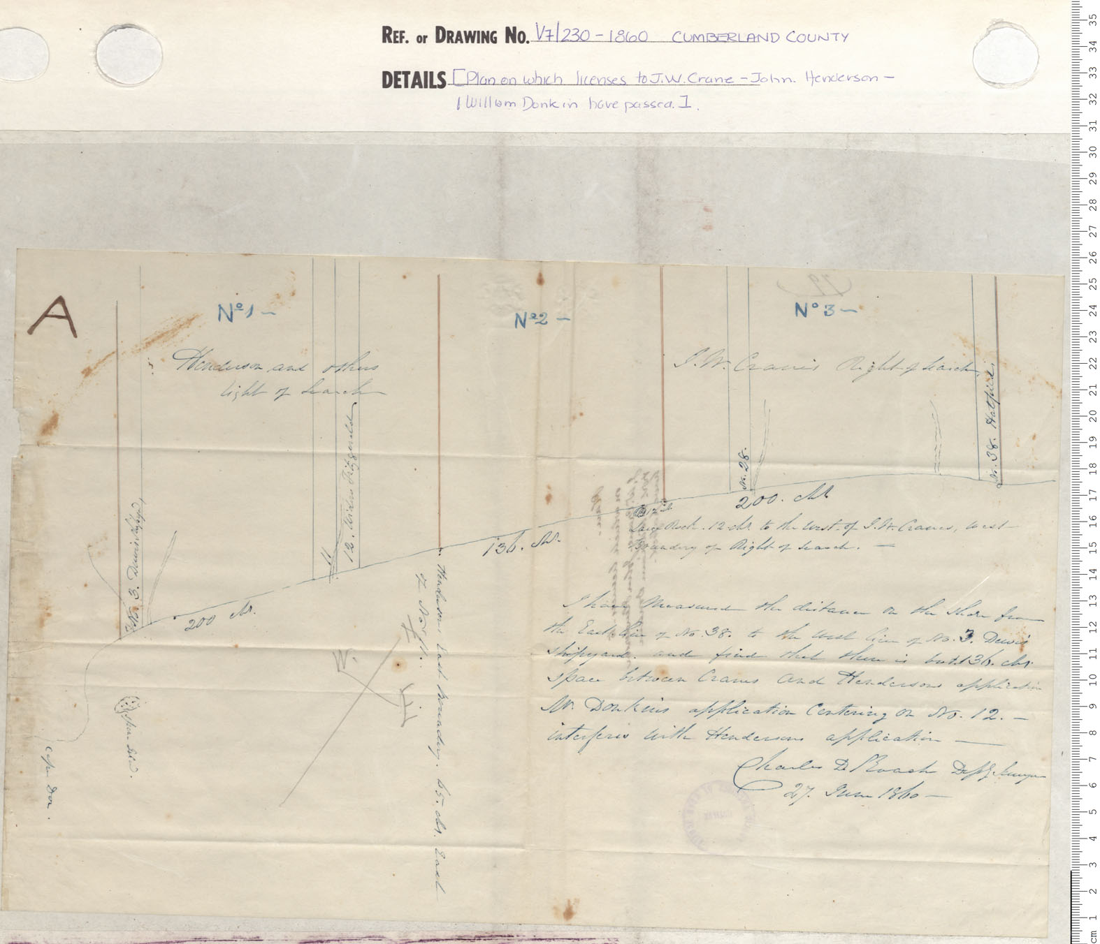
maps : 201402066
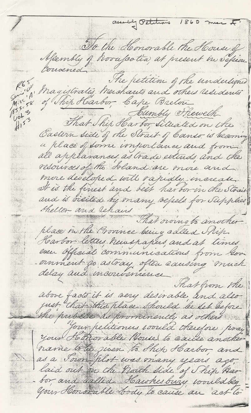
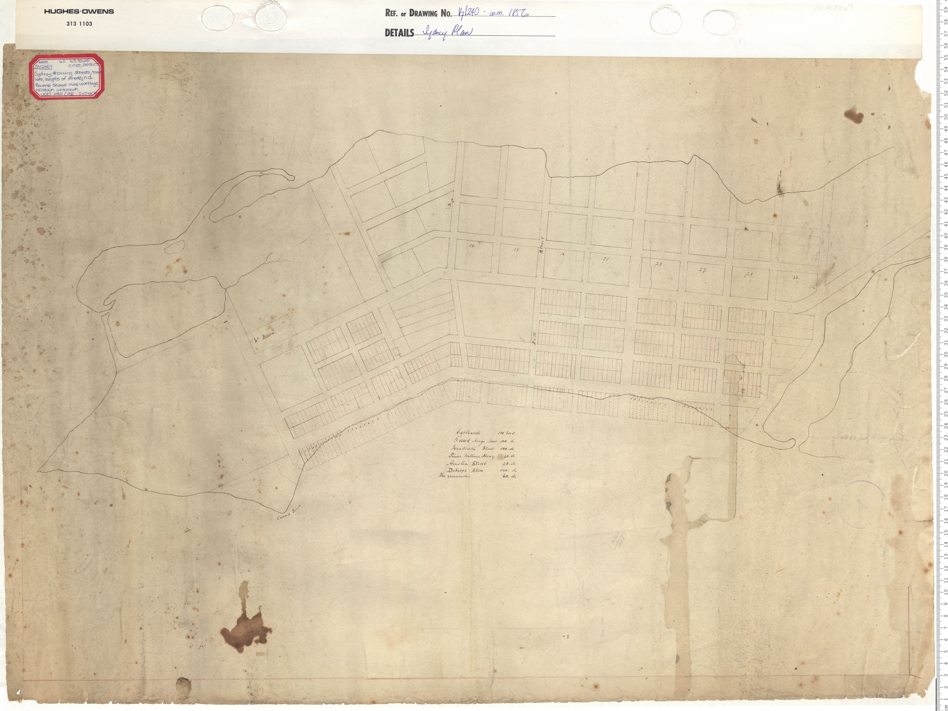
Town Plot of Hawkesbury, Cape Breton County
maps : 202012735
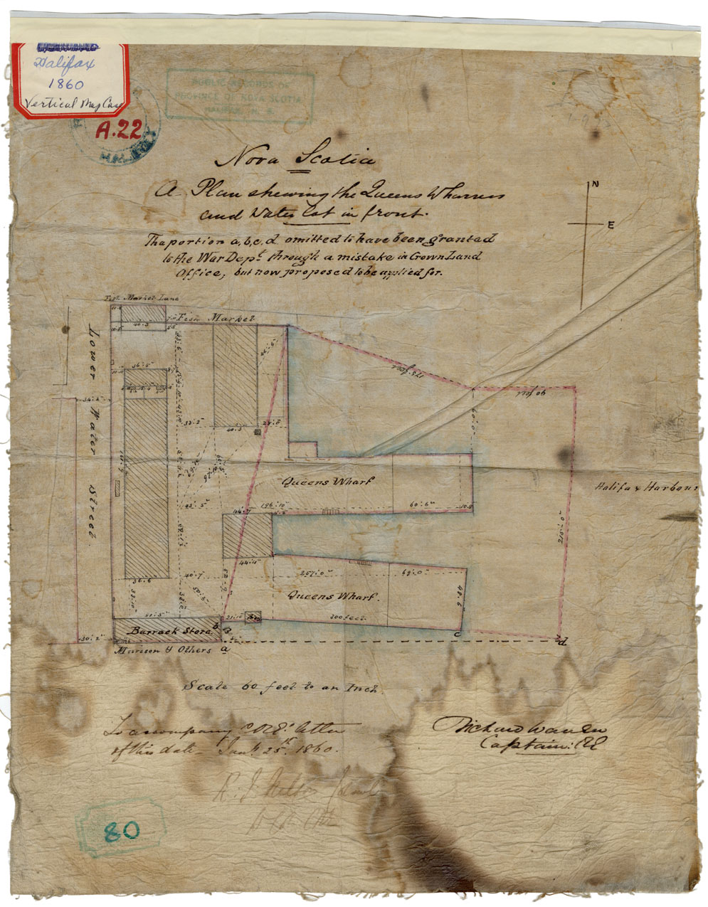
A Plan showing the Queens Wharves and waterlot in front
maps : 202013572
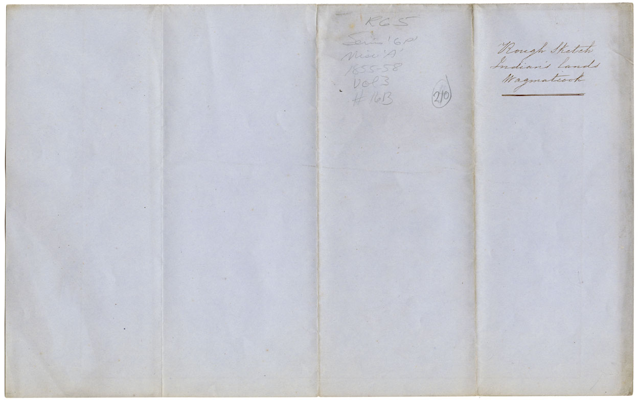
Rough Sketch of the Lands of the Mikmaq of Wagmatcook
maps : 202015071
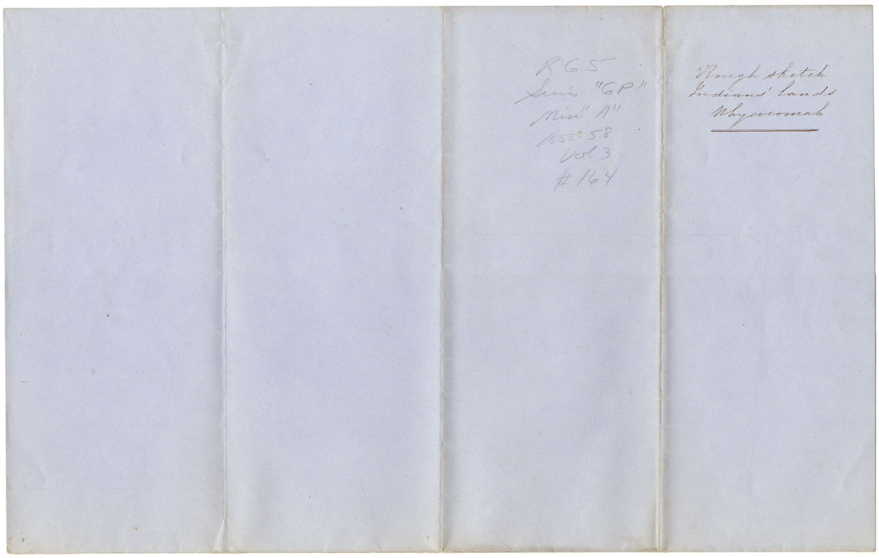
Rough Sketch of the Lands of the Mikmaq of Whycocomagh
maps : 202015073
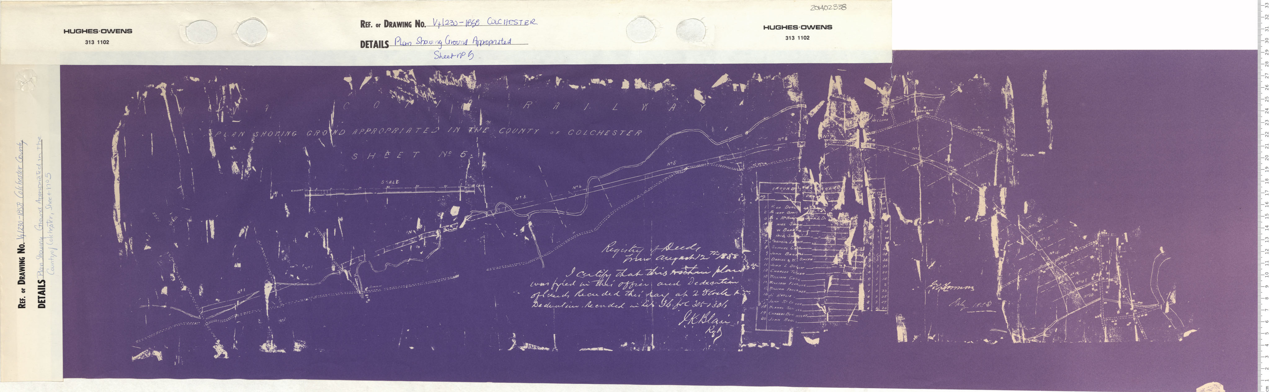
maps : 201402001
maps : 201760571
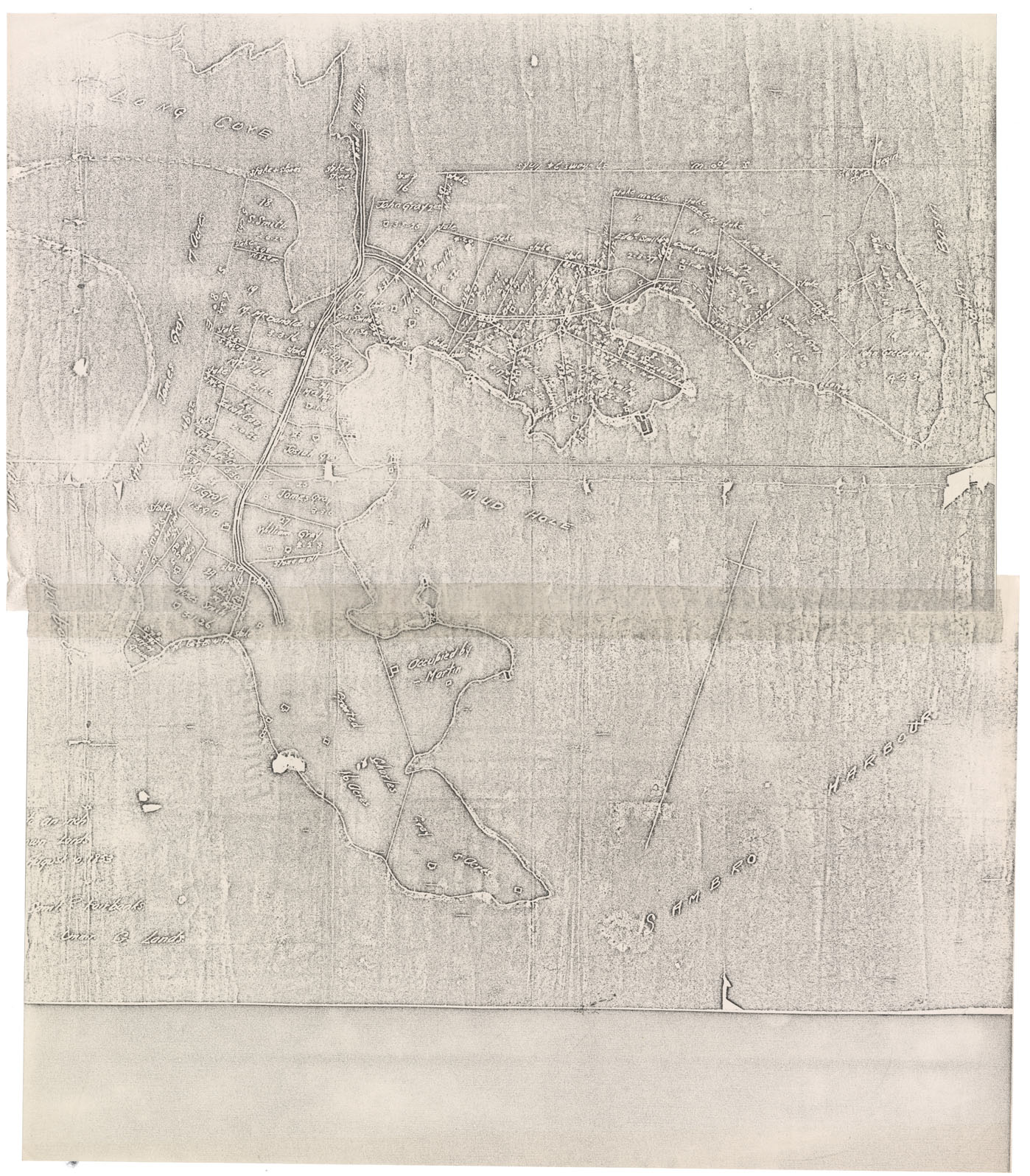
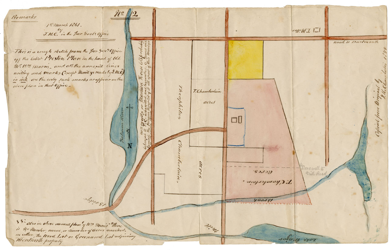
![maps : Rough Sketch latest Preston [Township] plan](/images/maps/202012020.jpg)
Rough Sketch latest Preston [Township] plan
maps : 202012020

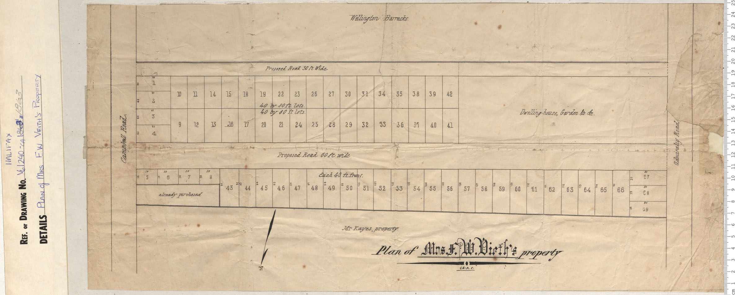
Plan Division of the Smith Fields South suburbs of Halifax
maps : 201320588
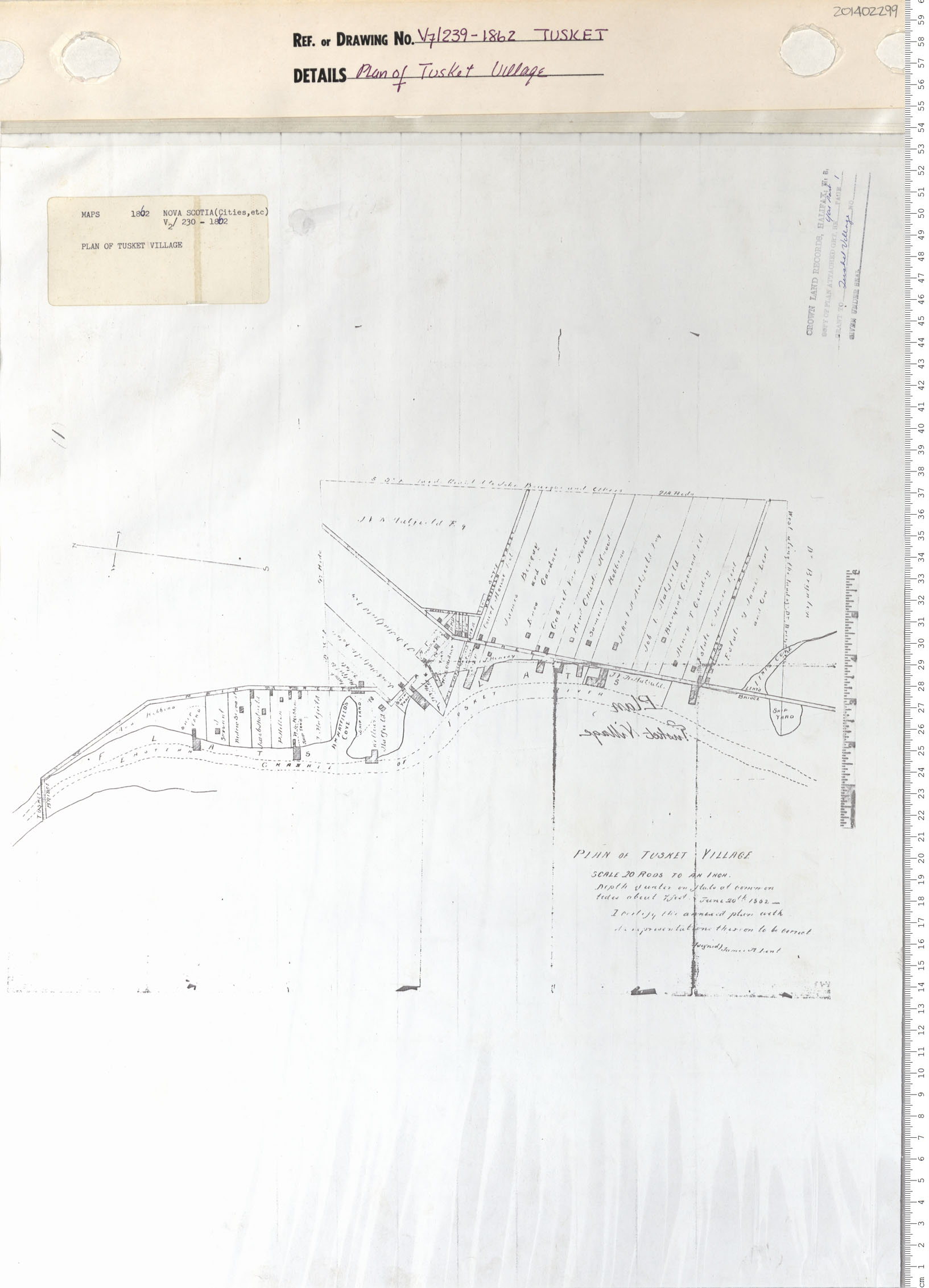
maps : 201402299
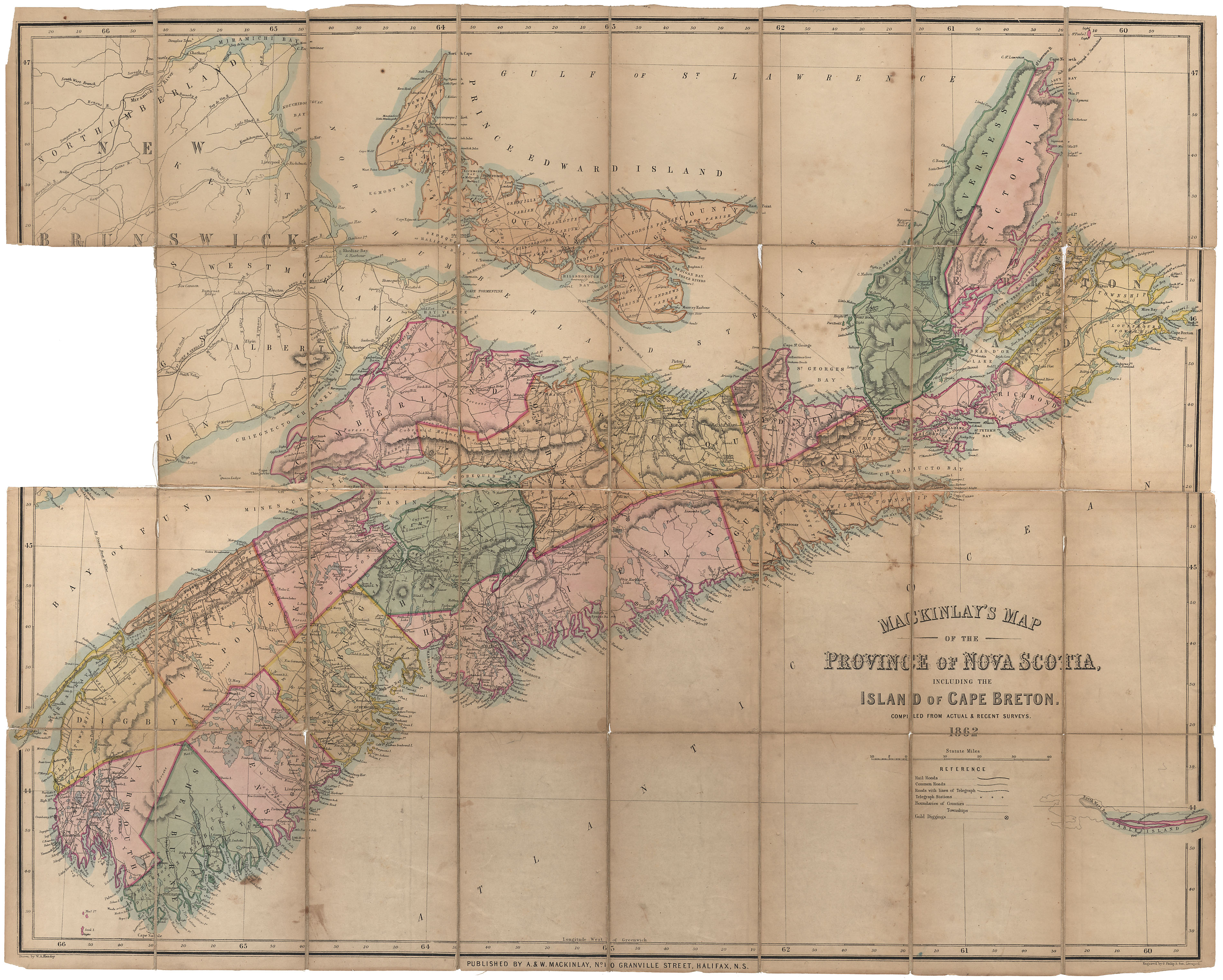
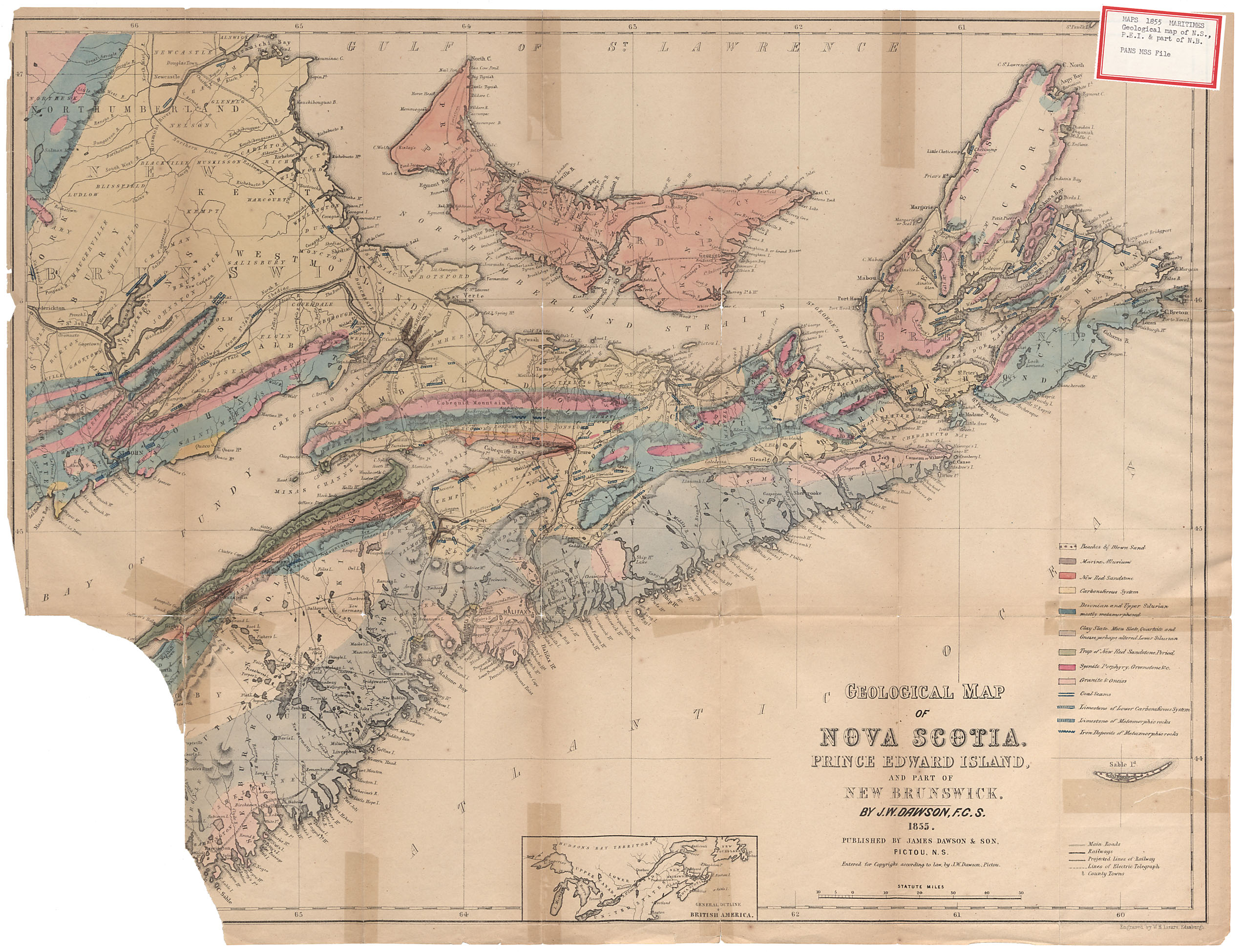
MacKinlays Map of Nova Scotia, 1862
maps : 201520168
maps : 201320590
maps : 201320589
Additional Search Tools
Need more results? The Search box in the top right corner looks for digitized content only and does not full-text search our website.
- To search our Nova Scotia Births, Marriages, and Deaths click the Nova Scotia Genealogy button below.
- To search descriptions in the archival holdings catalogue, click the Archival Holdings button below.
- To search items in the library holdings catalogue, click the Library Holdings button below.
- To Google search all our websites click the Google button below
Images Nova Scotia Genealogy Archival Holdings Library Holdings Google Site Search