Nova Scotia Archives
Historical Maps of Nova Scotia
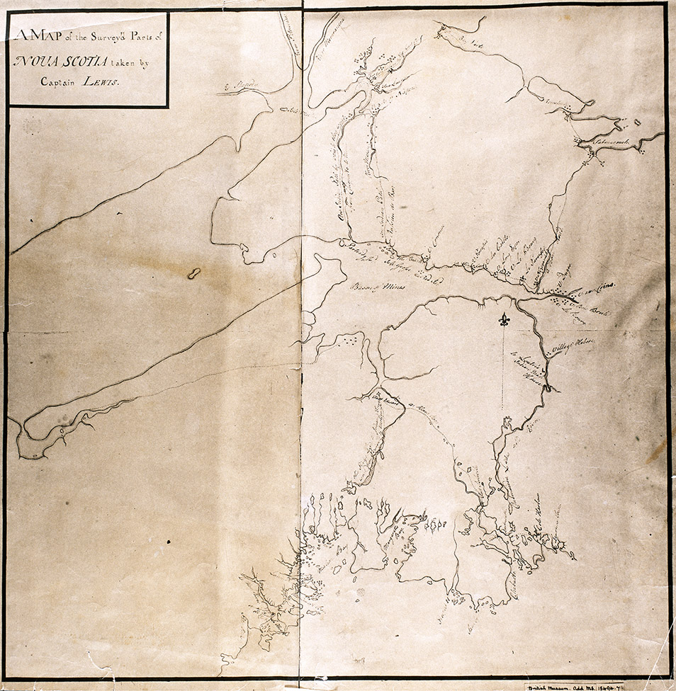
Map of the surveyed parts of Nova Scotia taken by Captain Lewis, 1755.

Shown: LeLoutre's "Indian Mass House" and "Indian paths." Copy from British Museum Add. Ms. 15494.7.
Date: 1755
Cartographer: Captain Lewis
Reference: Nova Scotia Archives Map Collection: F/202 - Nova Scotia 1755