Nova Scotia Archives
Historical Maps of Nova Scotia
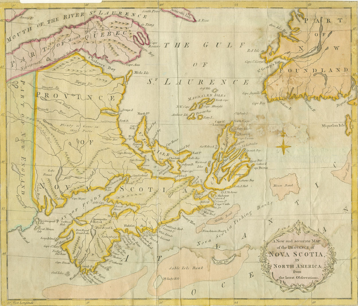
"A New and accurate Map of the Province of Nova Scotia in North America from the latest Observations"
Coloured map showing parts of Newfoundland, St. John's Island [Prince Edward Island], Quebec, New Brunswick and New England.
Date: 1783
Reference: Nova Scotia Archives Map Collection: 200 - 1783: loc.3.5.7

