Nova Scotia Archives
Historical Maps of Nova Scotia
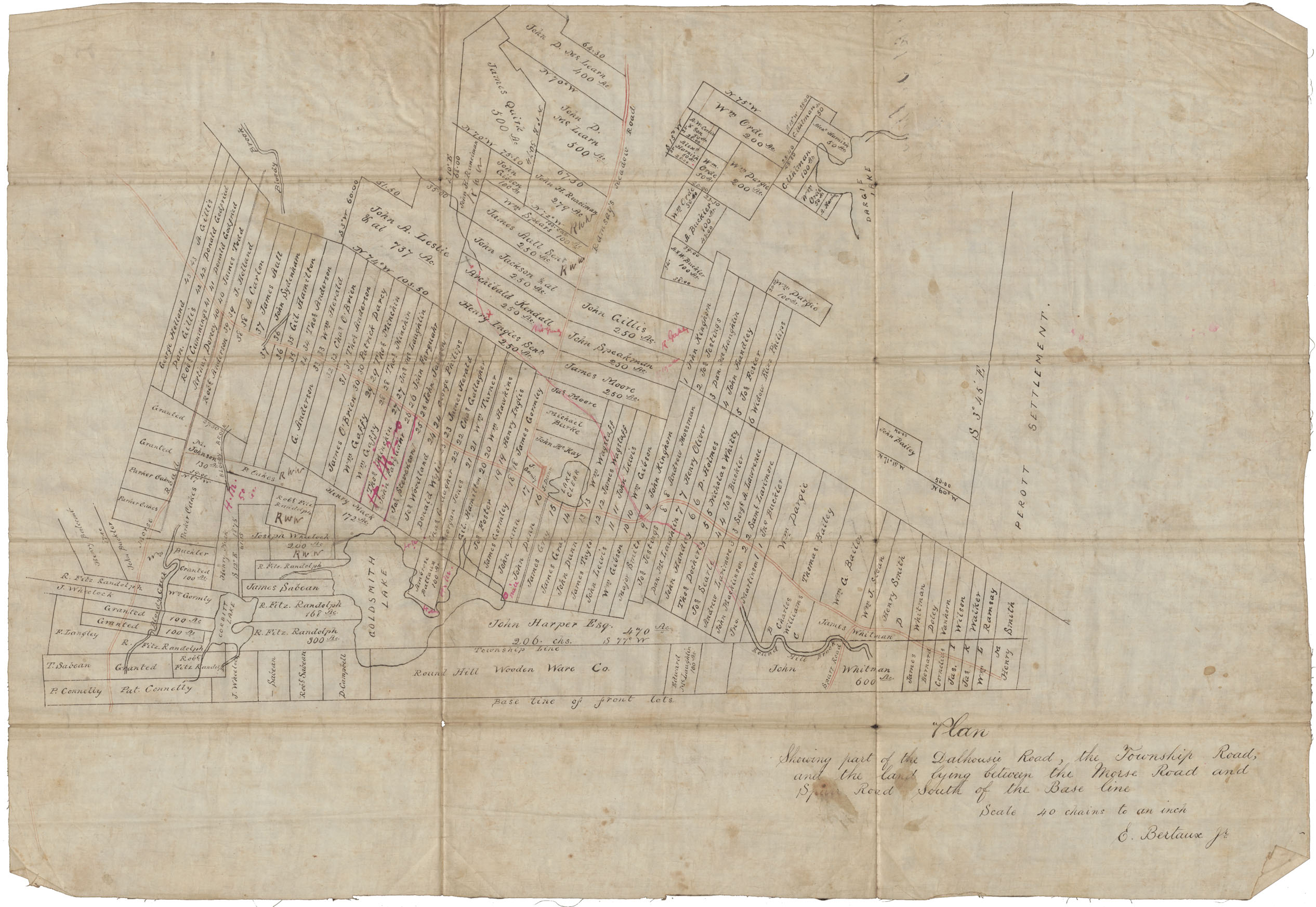
Plan showing part of the Dalhousie Road the Township Rd and land lying between the Morse Rd and Spurr Rd South of Base Line
Plan showing part of the Dalhousie Road the Township Rd and land lying between the Morse Rd and Spurr Rd South of Base Line
Reference: Nova Scotia Archives Map Collection: F/230

