Nova Scotia Archives
The Eassons and the Hoyts
Results 1231 to 1237 of 1237 from your search:
sorte a-z Title | Date | Reference
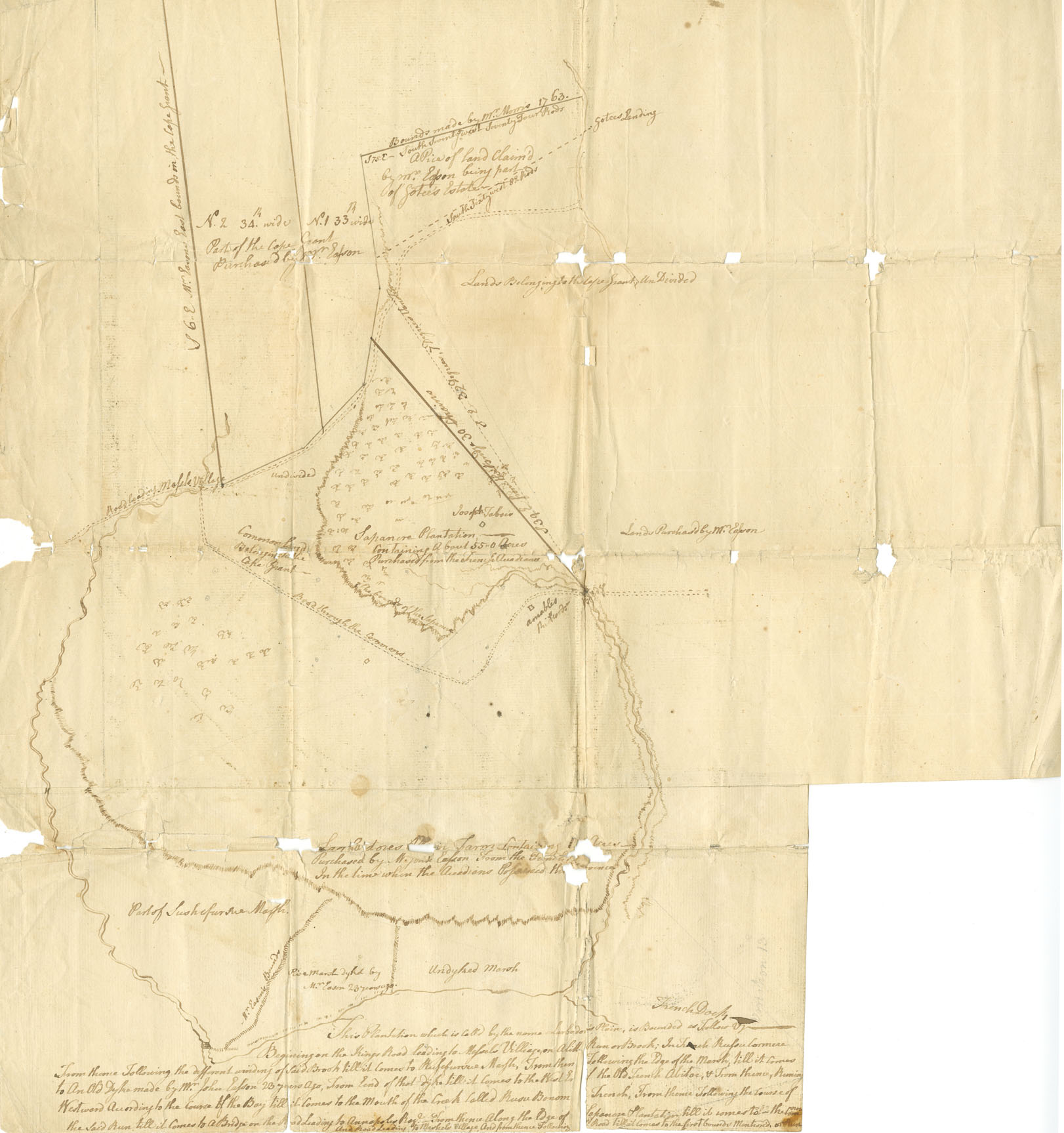
"This Plantation which is called by the name Larbador's Plain"
Survey drawing, land in Annapolis Township.
Date: n.d. but ca.1763
Reference: Easson family Nova Scotia Archives V7/230 - ca.1763 M/1
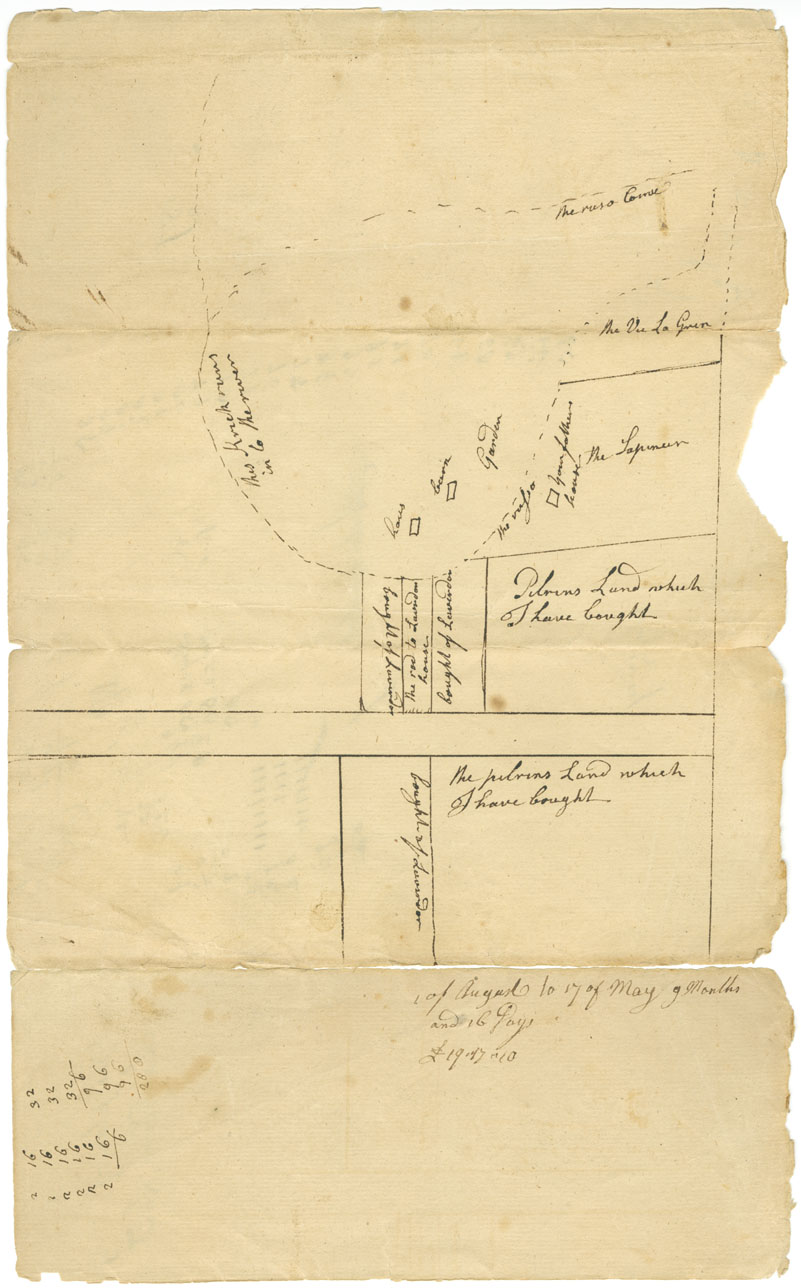
"The plan of Laverdors Land"
Also shows "Pelrins Land which I have bought" ; Annapolis Township.
Date: ca.1763
Reference: Easson family Nova Scotia Archives F/230 - ca.1763 M/2
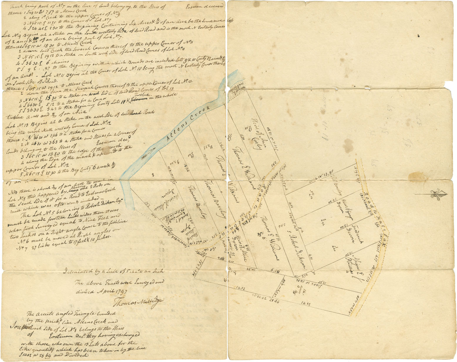
"A Map of 15 Lots of Land near the Cape in Township of Annapolis ... "
" ... surveyed and divided for Colonel Barclay and Others" by Thomas Millidge. (Original and copy)
Date: April 1797
Reference: Easson family Nova Scotia Archives F/230 - ca.1797 M/3
"Plan of Lands at Annapolis belonging to Heirs of the late John Easson"
Surveyed by John Harris, Deputy Surveyor. Shows "the true situation and content of lands near the town of Annapolis, belonging to the Heirs…."
Date: May 1797
Reference: Easson family Nova Scotia Archives V7/230 - ca.1797 M/4
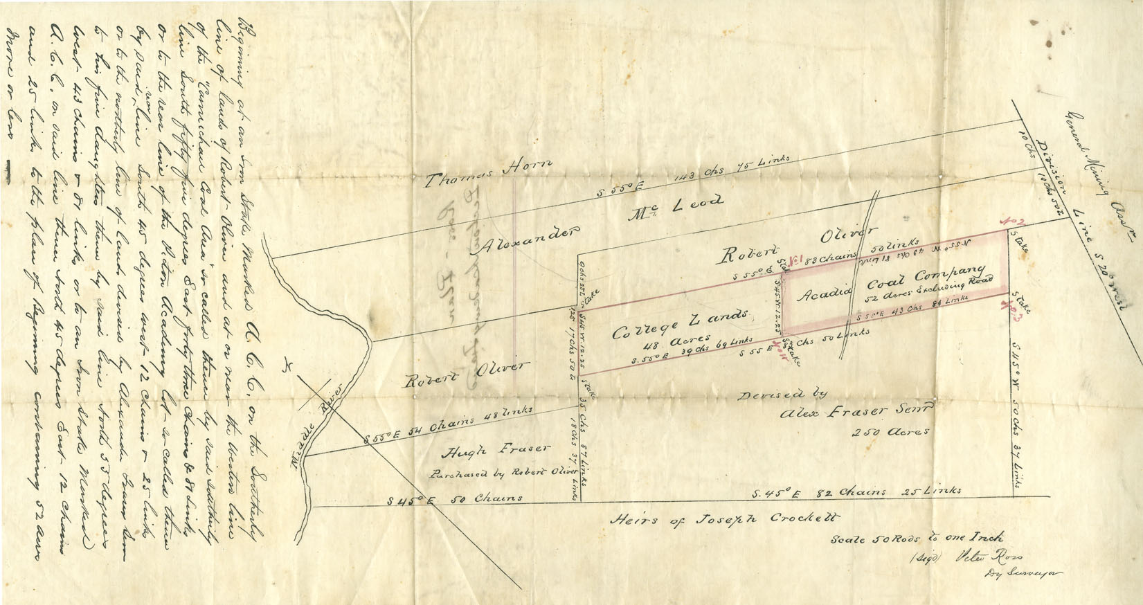
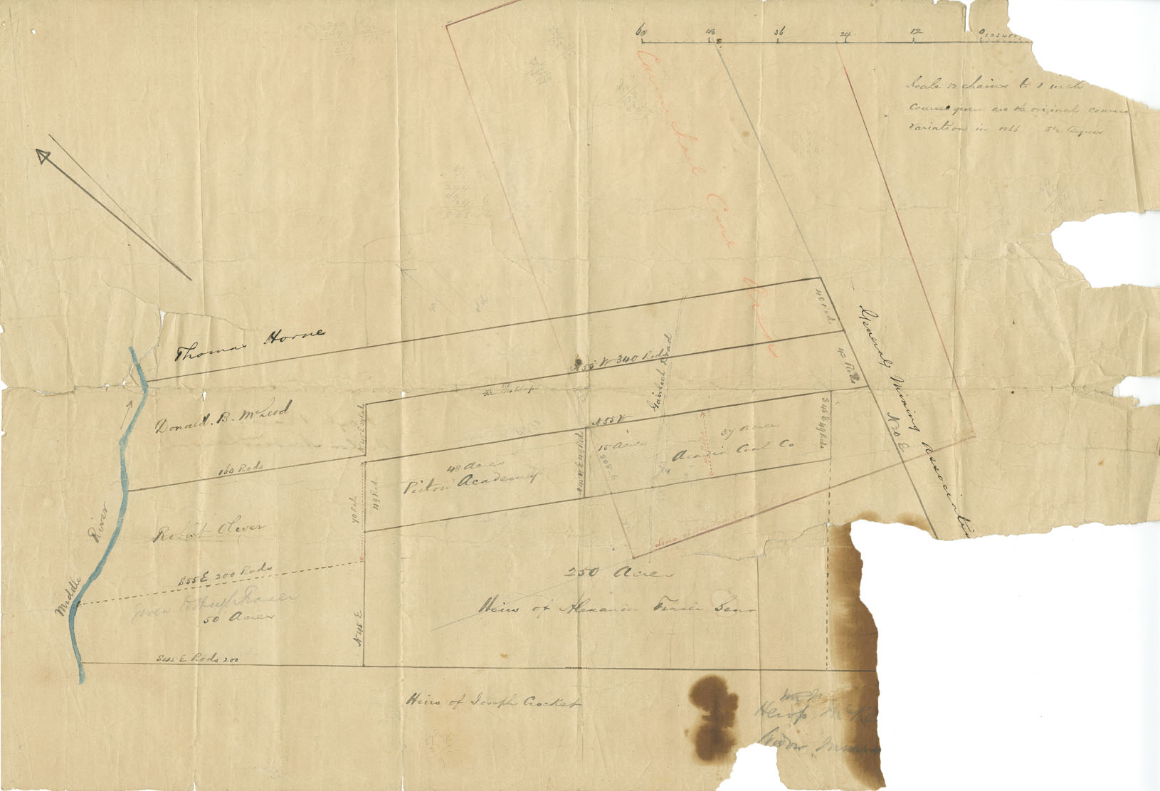
"Ross' Plan Pictou Academy Land"
Showing College Lands and those of Acadia Coal Company and the General Mining Association; Pictou County; drawn by Peter Ross, Deputy Surveyor.
Date: n.d. but ca.1866
Reference: Easson family Nova Scotia Archives V7/239 - ca.1866 M/5
"Hoyt Plan Pictou Academy Land"
And those of Acacia Coal Company and General Mining Association, drawn by Jesse Hoyt; Pictou County.
Date: n.d. but ca.1866
Reference: Easson family Nova Scotia Archives V7/239 - ca.1866 M/6
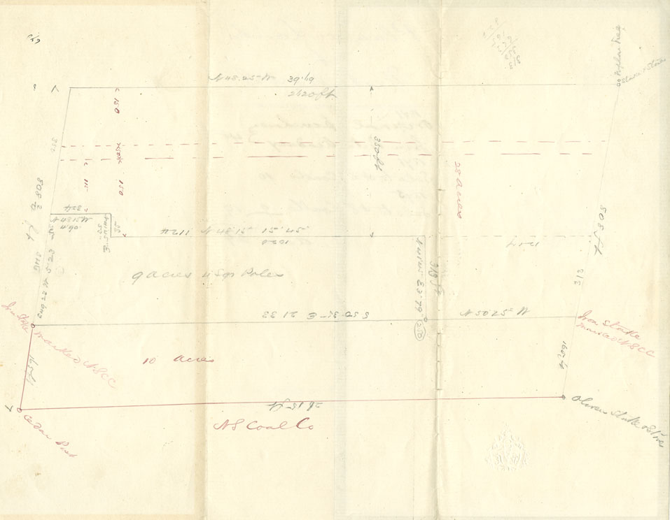
"Plan of Lands at Westville, NS"
Hand-drawn plan showing original purchase of lands from Pictou Academy in 1871 and lots sold to NS Coal Company in 1875.
Date: n.d. but ca.1875
Reference: Easson family Nova Scotia Archives F/239-1875 M/7
