Nova Scotia Archives
Built Heritage Resource Guide
Land Records
In the early days, when Nova Scotia was a colony with vast reserves of Crown land and very few inhabitants, property ownership usually began with a petition to the government for a grant of vacant Crown land, offered to anyone who could meet the basic terms and conditions of settlement. Read more in our Land Records guide.
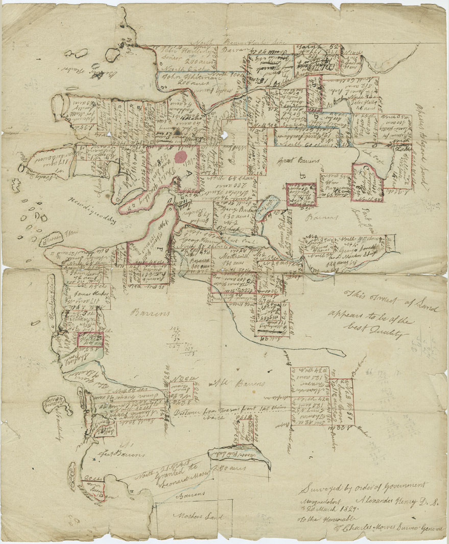
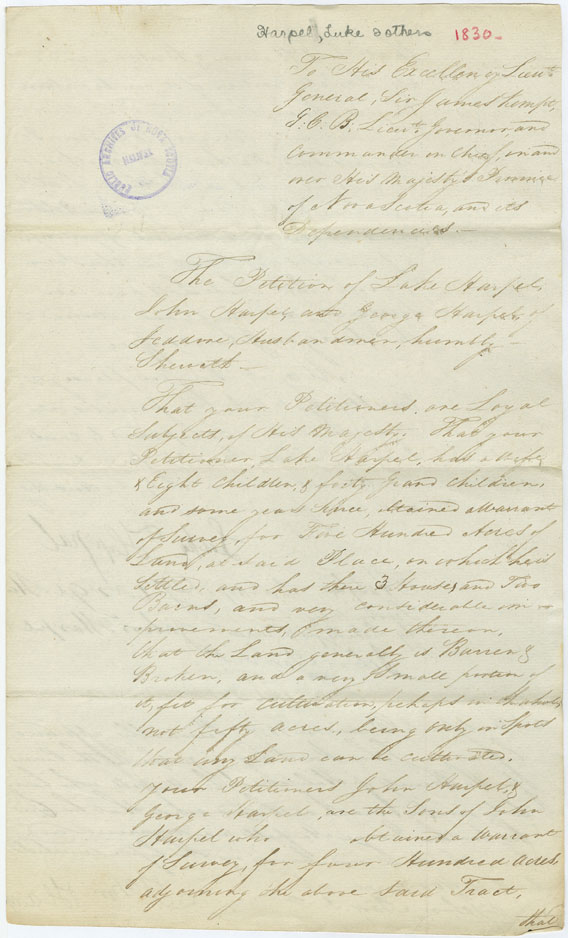
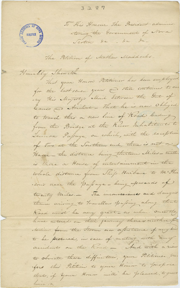
RG 20, Series A forms the main collection of original land-settlement documents at the Nova Scotia Archives — petitions, warrants to survey and many draft grants for the period 1765-1914; a good index is available. The petitions themselves are sometimes very perfunctory, offering only the applicant's name, the date, and the location of the land; others provide rich detail about the applicant's background, family members, neighbours and the circumstances of settlement. Some files even include rough survey maps, created on-the-spot by the surveyor who walked the land, measuring off the boundaries.
Researchers interested in Cape Breton Island should also check RG 20, Series B, the Calendar to Cape Breton Land Papers 1787-1843, for additional documents. RG 20, Series E provides additional applications for land grants throughout Nova Scotia, 1815-1890 (mainly 1829-1858); while RG 20, Series U ('Ungranted') is a collection of petitions from those unsuccessful in receiving land, 1811-1848 (mainly 1830s and 1840s).
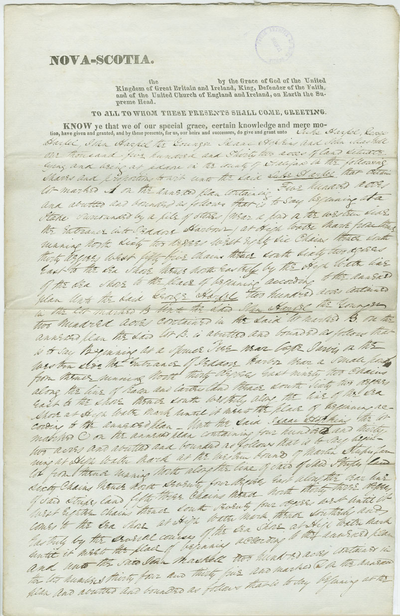
the Nova Scotia Archives also holds a full copy of land grants (minus supporting documents) on microfilm; there is a two-reel index, 1738-1962 (mfm 12926, surnames A-G; mfm 12927, surnames H-Z). These documents provide no biographical information, but instead spell out in detail the location and number of acres being granted, sometimes with precise measurements and boundaries.
Researchers will also want to explore the Nova Scotia Crown Land Index Sheets. This is a series of maps created in the 1950s, which breaks the province into a grid and then identifies the earliest known land grants issued within each individual section in the grid. There is a full set of these maps at the Nova Scotia Archives, but they are also online at https://novascotia.ca/natr/land/grantmap.asp. Select the index sheet number for the geographic area you're interested in, then click to view.
Once the land was granted, any subsequent transactions regarding the property should be traceable through the records kept in the county Registry of Deeds.
"Coppy [sic] of the Plan of Land Survey to Sundry Person on Esteheated [Escheated] Land Late Hales Grant"
Date: 2 March 1827
Reference: Department of Lands and ForestsNova Scotia Archives RG 20 Series C vol. 88 no. 180
Topic: Land Records
Draft Grant, The King to Luke Harpel and Others
Date: 1 July 1830
Reference: Department Lands and ForestsNova Scotia Archives RG 20 Series A 1830 - Harpel, Luke
Topic: Land Records
Petition of Luke Harpel and Others
Date: 8 December 1827
Reference: Department Lands and ForestsNova Scotia Archives RG 20 Series A 1830 - Harpel, Luke
Topic: Land Records
Petition of Matthew Maddocks
Date: 23 January 1830
Reference: Department of Lands and ForestsNova Scotia Archives RG 20 Series B Cape Breton no. 3287
Topic: Land Records
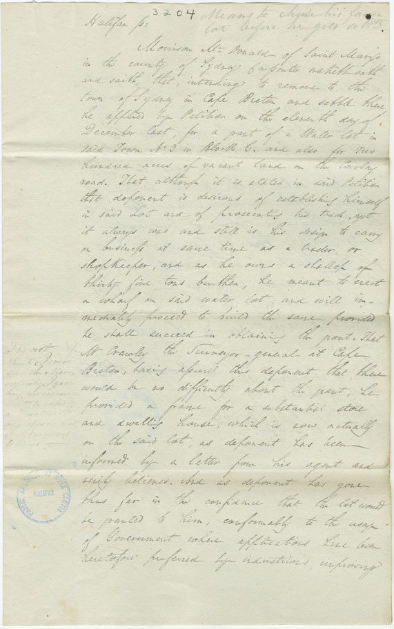
Affidavit of Morrison McDonald
Date: 1 June 1827
Reference: Department of Lands and ForestsNova Scotia Archives RG 20 Series B Cape Breton no. 3204
Topic: Land Records
