Nova Scotia Archives
Built Heritage Resource Guide
Nautical Charts
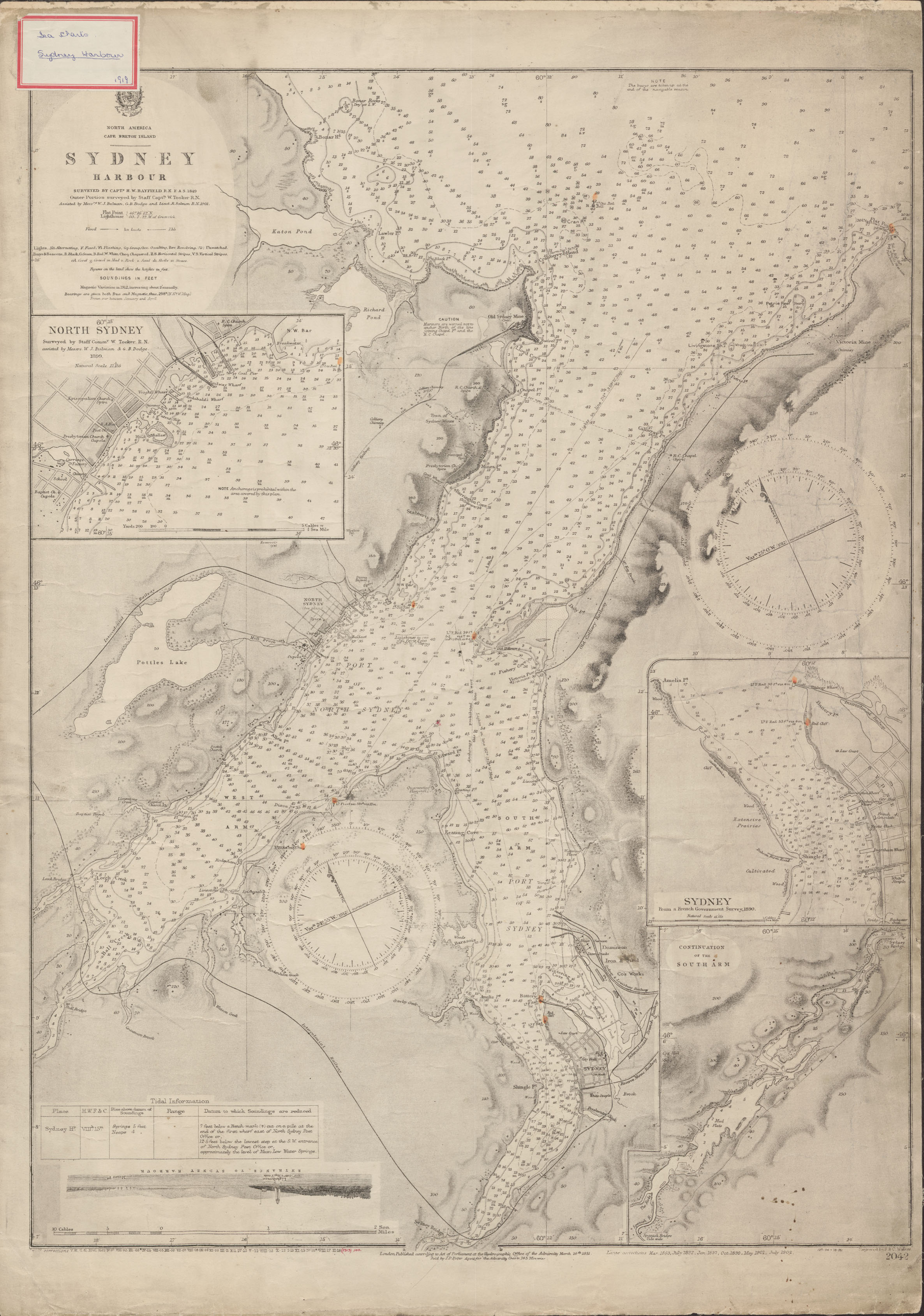
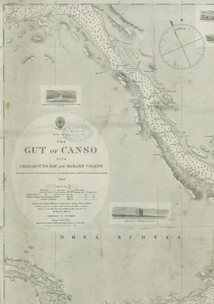
The Nova Scotia Archives Map Collection includes many nautical charts produced by the Hydrographic Office of the Admiralty, Great Britain, mostly from the 1840s to the 1860s. These charts show coastal areas of Nova Scotia and identify churches and lighthouses; prominent buildings are identified with a dot, although occupants’ names are not given.
"North America Cape Breton Island Sydney Harbour", surveyed by Captain H.W. Bayfield
Date: 1849, with corrections to 1902
Reference: Nova Scotia Archives Map Collection: Great Britain Hydrographic Office, Chart No. 2042
Topic: Nautical Charts
"Nova Scotia Gut of Canso with Chedabucto Bay and Madame Island"
Date: 1850
Reference: Nova Scotia Archives Map Collection: Great Britain Hydrographic Office, Chart No. 2342
Topic: Nautical Charts

