Nova Scotia Archives
Mi'kmaq Holdings Resource Guide
Report by Thomas Crawley, Surveyor General of Cape Breton, describing the settlement of the Malagawatch Mi'kmaq on the north-western side of the Great Lake Bras d'Or. Includes map showing c 1500 acres of reserve.
note: transcription publicly contributed - please contact us with comments, errors or omisions
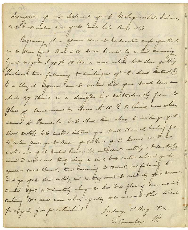
Description of the Settlement of the Malagawatcht Indians, on the North-western side of the Great Lake Bras d'Or.
Beginning at a spruce near the north-eastern angle of a Point on the shore of the Bras d'Or, thence bounded by a line running by the magnet S. 78 W. 58 chains, more or less, to the shore of Big Harbour, thence following the windings of the shore northwesterly, to a blazed spruce, on the western side of a small cove, about 187 chains in a straight line northwestwardly, from the place of commencement Thence N. 15 W. 21 chains, more or less, across the Peninsula to the shore, thence along the windings of the shore easterly to the western entrance of a small channell, leading from the eastern part of the Basin of the River of St. Denis, round the western end of the Northern Peninsula, and south-easterly and southerly round the western end thereof, along the shore, to the western entrance of the aforesaid small channel, thence recrossing the channel, and following the windings of the shore easterly and northerly round the extremity of a narrow crooked spit, and southerly along the shore to the place of commencement, containing 1500 acres, more or less, agreeably to the annexed Plan. About 1/2 [survey?] be fit for cultivation.
Sydney, 2d Aug. 1833.
T. Crawley, S.G.
Date: 1833
Retrieval no.: Commissioner of Public Records — Mi'kmaq and Government Relations series Nova Scotia Archives RG 1 volume 432 pp. 200-201

