Nova Scotia Archives
Mi'kmaq Holdings Resource Guide
Report by Thomas Crawley, Surveyor General of Cape Breton, describing a tract of land on Wagmatcook River reserved for the use of the Mi'kmaq settled thereon. Includes map showing 4500 acres of reserve.
note: transcription publicly contributed - please contact us with comments, errors or omisions
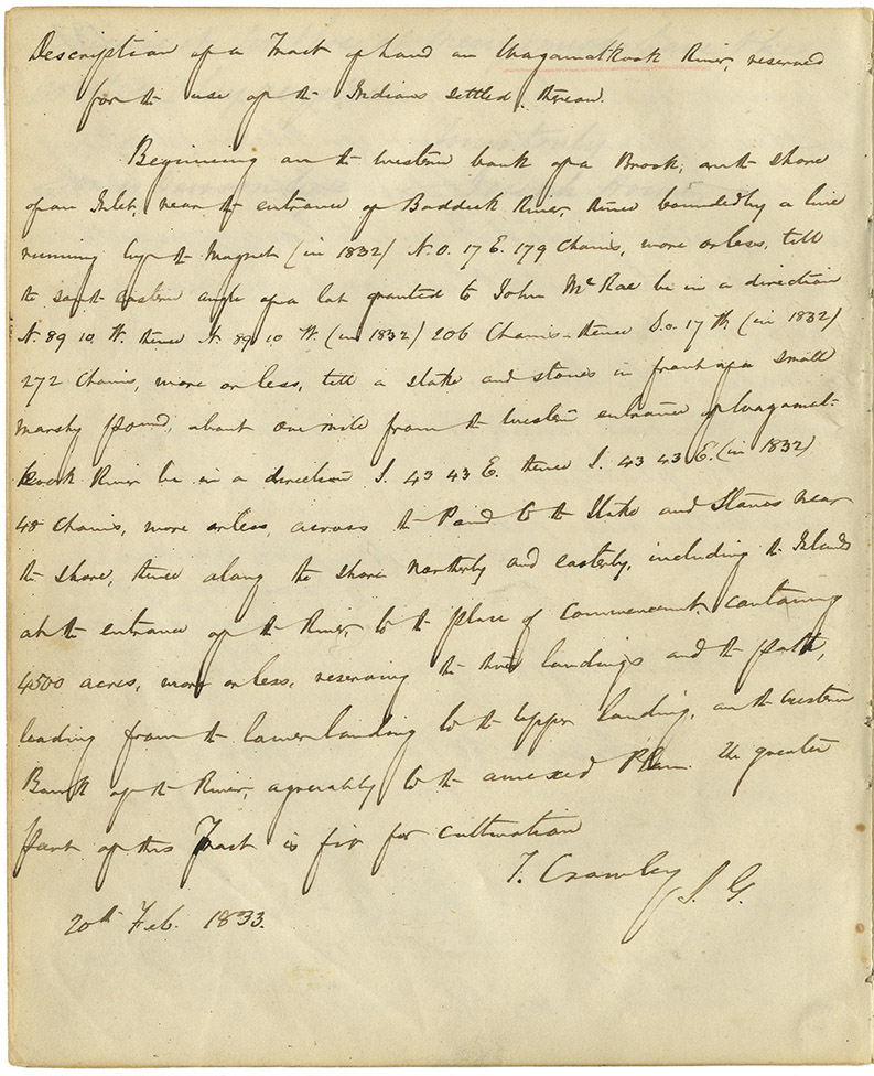
Description of a tract of land in Wagamatkook River, reserved for the use of the Indians Settled thereon.
Beginning on the western bank of a Brook, on the shore of an Inlet, near the entrance of Baddeck River, thence bounded by a line running by the Magnet (in 1832) N.O. 17 E. 179 chains, more or less, till the south eastern angle of a lot granted to John McRae be in a direction N. 89 10 W thence N. 89 10 W. (in 1832) 206 chains -- thence S.o. 17 W. (in 1832) 272 Chains, more or less, till a stake and stones in front of a small marshy pond, about one mile form the western entrance [illegible] Rock River be in a direction S. 43 43 S. thence S. 43 43 E. (in 1832) 48 chains, more or less, across the Pond to the Stake and Stones near the shore, thence along the shore northerly and easterly, including the Island at the entrance of the River, to the place of commencement, containing 4500 acres, more or less, reserving the River landings, and the path, leading form the lower landing to the upper landing, and the western Branch of the River, agreeably to the annexed Plan. The greater part of this Tract is fit for cultivation.
T. Crawley S.G.
20th Feb. 1833
Date: 1843
Retrieval no.: Commissioner of Public Records — Mi'kmaq and Government Relations series Nova Scotia Archives RG 1 volume 432 pp. 198-199

