Nova Scotia Archives
Mi'kmaq Holdings Resource Guide
Report from Titus Smith to the Surveyor General reporting on the Indian Point Reserve near Chester
note: transcription publicly contributed - please contact us with comments, errors or omisions
47
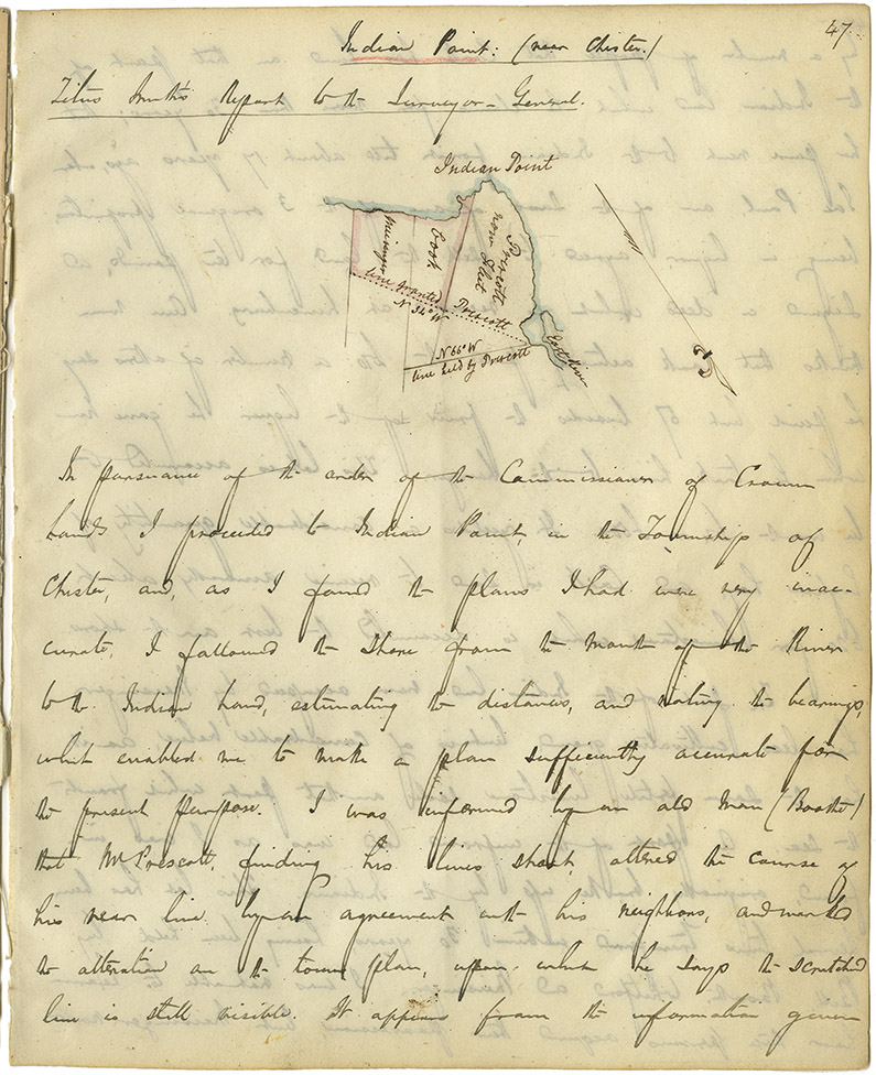
Indian Point: (near Chester.)
Titus Smith's Report to the Surveyor-General.
--------------------------------------------------
(Map of Indian Point)
Prescott now [Fleet]
Cook.
[Meisigner]
N 34° W line granted Prescott
N 66° W line held by Prescott
East River
In pursuance of the order of the Commissioner of Crown Lands I proceeded to Indian Point, in the Township of Chester, and, as I found the plans I had were very inaccurate, I followed the shore from the mouth of the River to the Indian Land, estimating the distances, and noting the bearings, which enabled me to make a plan sufficiently accurate for the present purpose. I was informed by an old man (Boothe) that Mr Prescott, finding his lines short, altered the course of his rear line by an agreement with his neighbors, and wanted the alteration on the town plan, upon which he says the [scratched?] line is still visible. It appears from the information given

Includes map.
Retrieval no.: Commissioner of Public Records — Mi'kmaq and Government Relations series Nova Scotia Archives RG 1 volume 432 pp. 47-49