Nova Scotia Archives
Nova Scotia's 'Paving Programme'
Highway Reconstruction in the 1930s
Results 361 to 375 of 389 from your search:
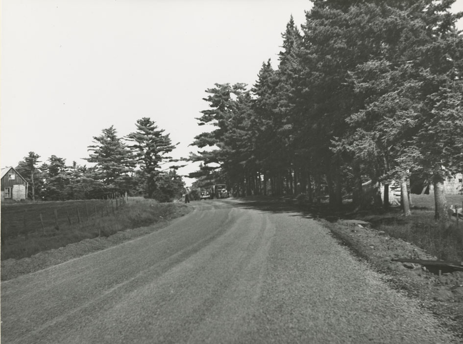
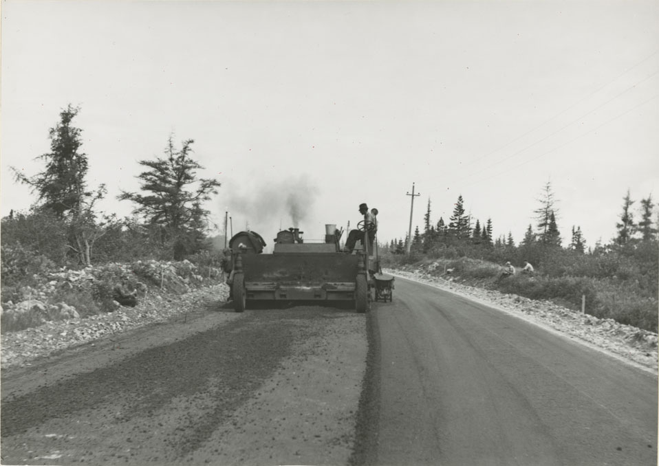
Fall River - Enfield, Near Enfield looking toward Truro
Date: 1938
Reference: Department of Highways Nova Scotia Archives 2002-015 no. 002 p. 39
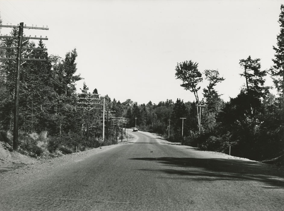
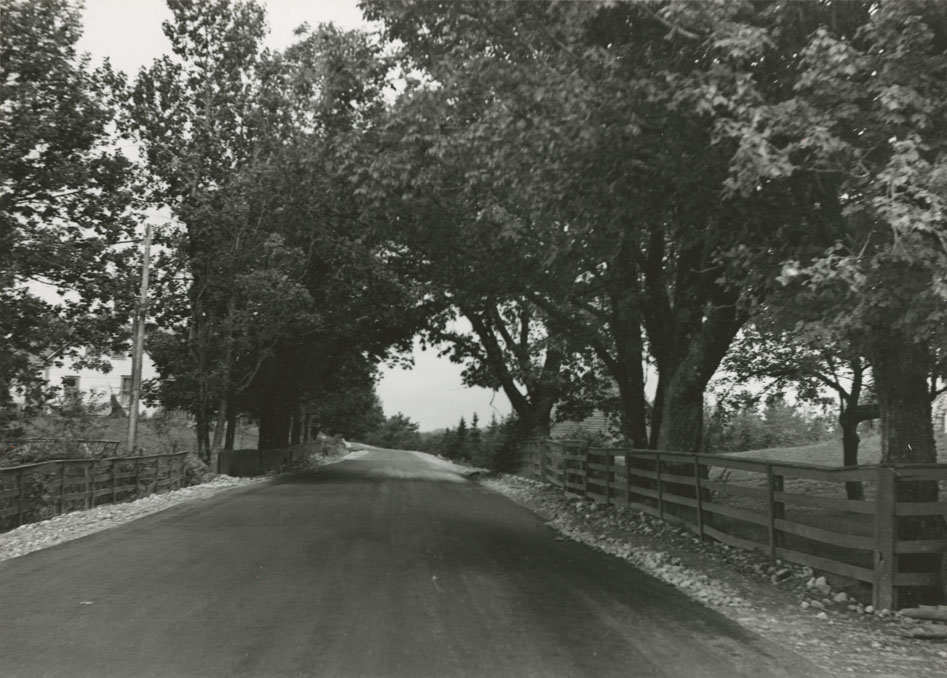
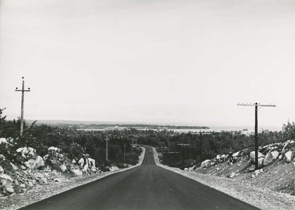
Fall River - Enfield, 2.3 Miles from Enfield towards Halifax
Date: 1938
Reference: Department of Highways Nova Scotia Archives 2002-015 no. 002 p. 39
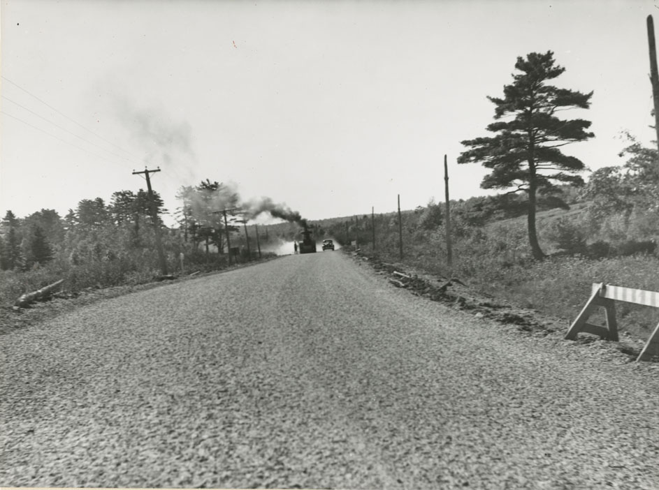
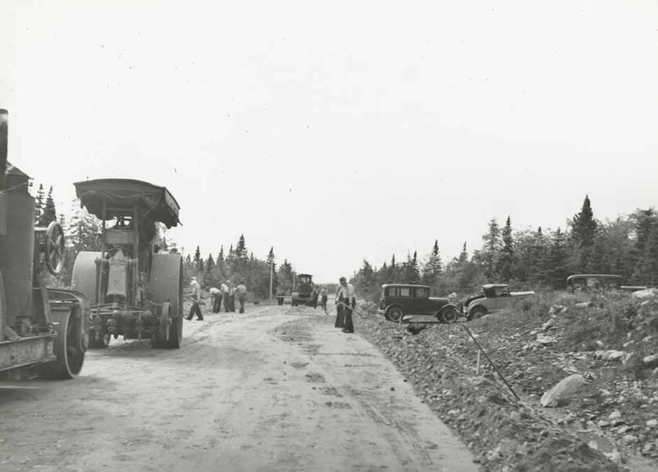
Fall River - Enfield, Steam Cleaning Surface for Seal Coating near Enfield
Date: 1938
Reference: Department of Highways Nova Scotia Archives 2002-015 no. 002 p. 40
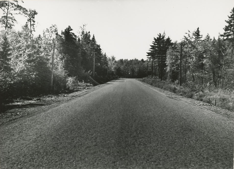
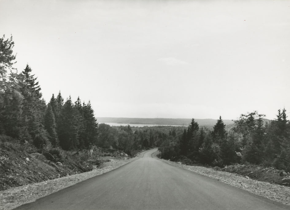
Fall River - Enfield, 2.6 Miles from Grande Lake towards Truro
Date: 1938
Reference: Department of Highways Nova Scotia Archives 2002-015 no. 002 p. 40
Broad River - Wall's Corner
Date: 1938
Reference: Department of Highways Nova Scotia Archives 2002-015 no. 002 p. 41
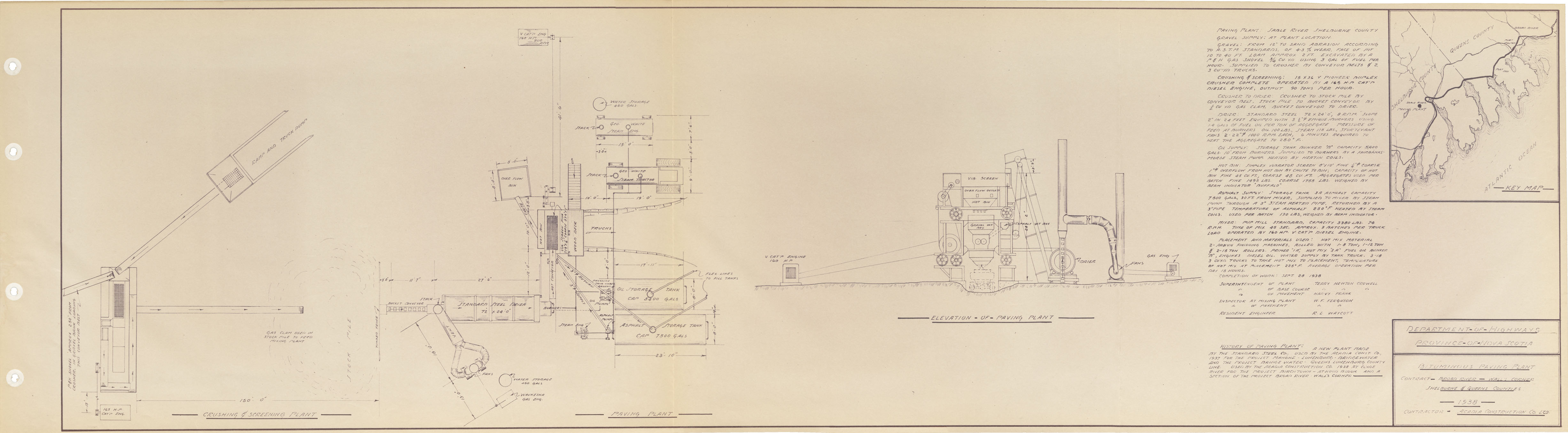
Bituminous Paving Plant - Broad River - Wall's Corner
Date: 1938
Reference: Department of Highways Nova Scotia Archives 2002-015 no. 002 p. 42
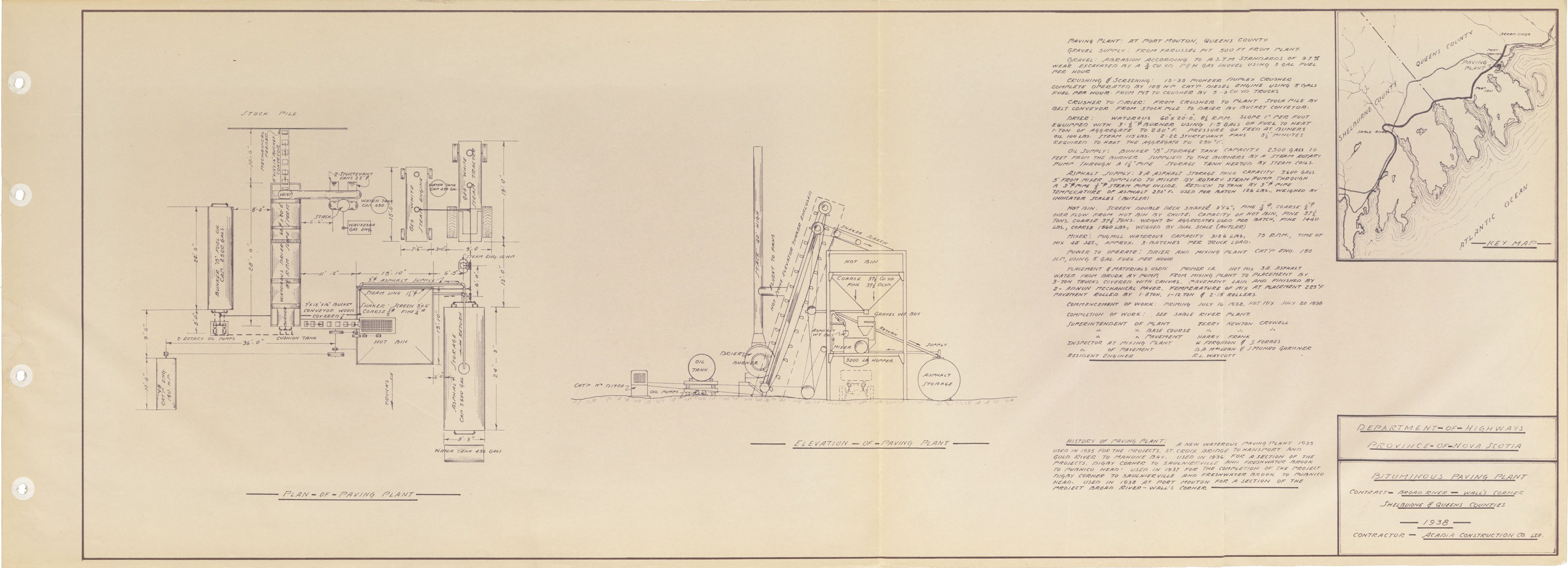
Bituminous Paving Plant - Broad River - Wall's Corner
Date: 1938
Reference: Department of Highways Nova Scotia Archives 2002-015 no. 002 p. 43
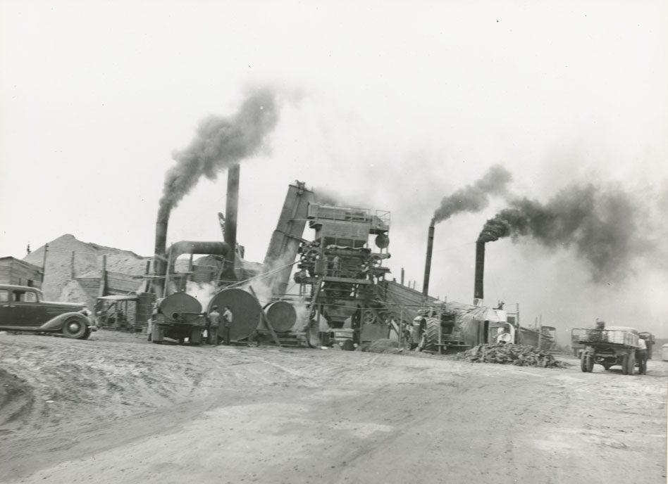
Broad River - Wall's Corner, Hot Mix Pavement Plant at sable River
Date: 1938
Reference: Department of Highways Nova Scotia Archives 2002-015 no. 002 p. 44

Broad River - Wall's Corner, Port L' Hebert
Date: 1938
Reference: Department of Highways Nova Scotia Archives 2002-015 no. 002 p. 44
Broad River - Wall's Corner, Laying Pavement
Date: 1938
Reference: Department of Highways Nova Scotia Archives 2002-015 no. 002 p. 45
Broad River - Wall's Corner, Laying Base Course
Date: 1938
Reference: Department of Highways Nova Scotia Archives 2002-015 no. 002 p. 45
Broad River - Wall's Corner, 1/2 Mile West of Sable River looking towards Halifax
Date: 1938
Reference: Department of Highways Nova Scotia Archives 2002-015 no. 002 p. 46
Broad River - Wall's Corner, Hill Top Inn looking towards Halifax
Date: 1938
Reference: Department of Highways Nova Scotia Archives 2002-015 no. 002 p. 46

Broad River - Wall's Corner, 4 Miles from Sable River towards Halifax
Date: 1938
Reference: Department of Highways Nova Scotia Archives 2002-015 no. 002 p. 47
Broad River - Wall's Corner, Stoney Hill, 1 mile West of Port Mouton
Date: 1938
Reference: Department of Highways Nova Scotia Archives 2002-015 no. 002 p. 47