
Nova Scotia Archives
The Eassons and the Hoyts
Two Hundred Years of Family and Community Life in Nova Scotia
"A New Chart of the Coast of New England, Nova Scotia, New France or Canada"
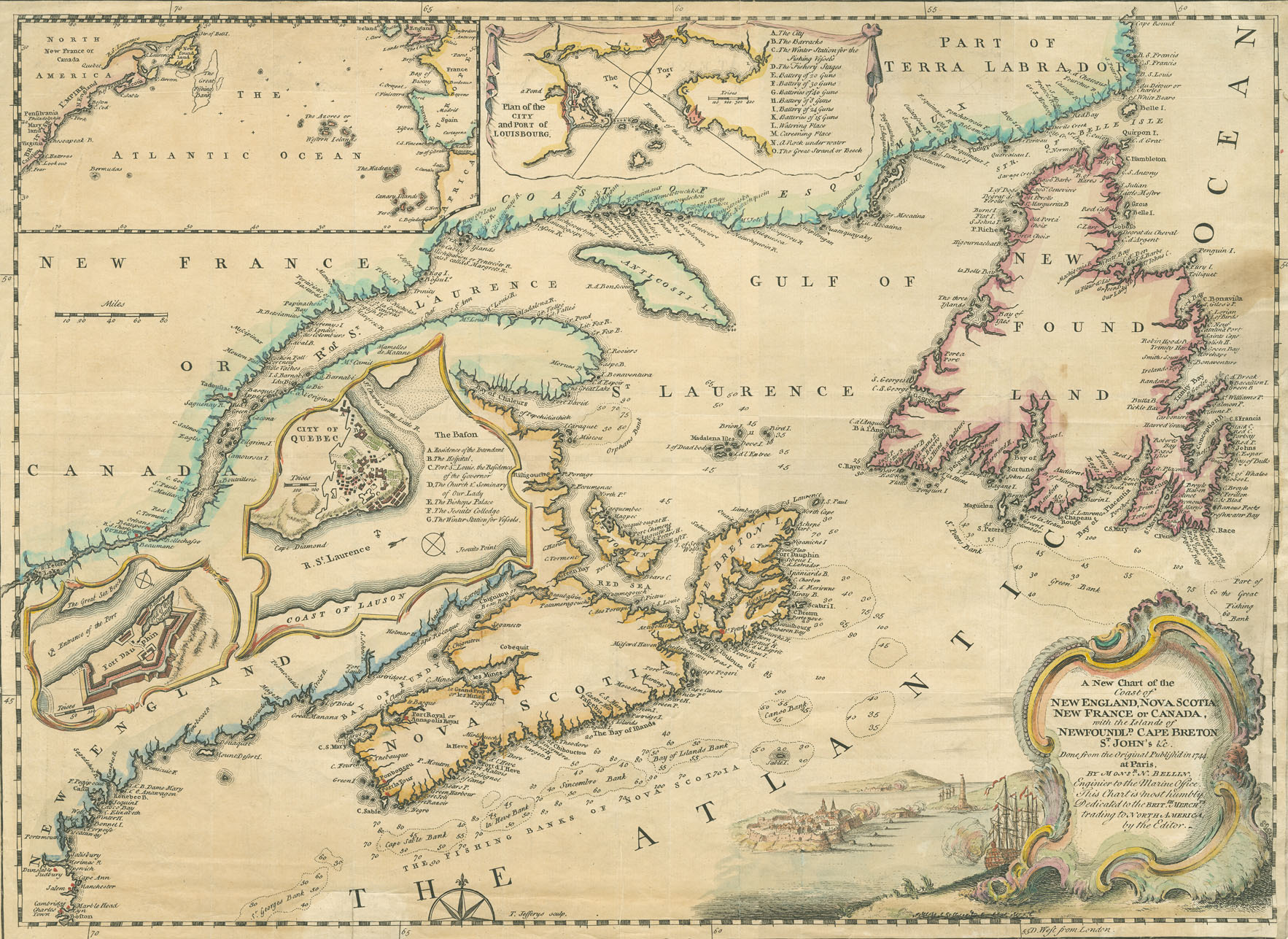
"With the Islands of Newfoundl'd, Cape Breton, St. John's etc. Done from the original Publish'd in 1744 at Paris by Monsr. N. Bellin, Engineer to the Marine Office. This Chart is most humbly Dedicated to the Brit'sh Merch'ts trading to North America, by the Editor." This coloured lithograph map was by Thomas Jefferys.
Date: 1745
Artist: N. Bellin
Reference: Nova Scotia Archives Map Collection: 200-1745: loc.3.5.2