Nova Scotia Archives
Mi'kmaq Holdings Resource Guide
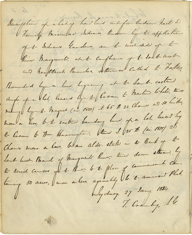
Report by Thomas Crawley, Surveyor General of Cape Breton, describing "a Lot of Land laid out for Andrew Noel and Family" known as Indian Gardens. Includes map showing 50 acres of reserve.
note: transcription publicly contributed - please contact us with comments, errors or omisions
Description of a lot of land laid out for Andrew Noel and Family, Micmac Indians, known by the appellation of the Indian Gardens, on the west side of the River Margeurite, at the confluence of the south west and northwest branches, otherwise called the Forks,
Bounded by a line, beginning at the South-eastern angle of a lot, leased by the Crown to Martin White, thence running by the Magnet (in 1810) No. 65 W. 22 chains and 50 links, more or less, to the eastern boundary line of a lot leased by the Crown to Wm. Harrington, thence S. 25 W. (in 1818) 26 chains more or less, to an older stake in the Bank of the south-west Branch of Marguerite River, thence down stream, by the [illegible] courses of the River, to the place of commencement, containing 50 acres, more or less, agreeably to the annexed Plan.
Sydney, 27 Jany. 1834
T. Cawley, S.G.
Date: 1834
Retrieval no.: Commissioner of Public Records — Mi'kmaq and Government Relations series Nova Scotia Archives RG 1 volume 432 pp. 208-209

