Nova Scotia Archives
African Nova Scotian Teaching and Learning Resources
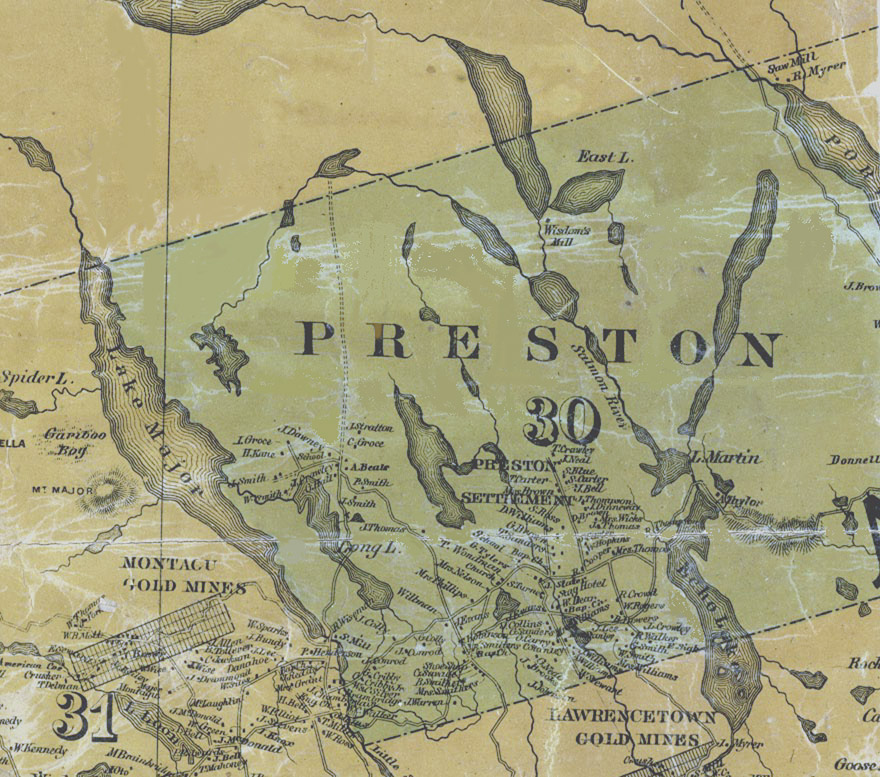
Map detail showing Preston

Map shows Preston some fifty years after it was settled by African American refugees of the War of 1812. It includes the names of property owners and location of significant buildings, including churches, schools and the famed Stag Inn, owned by William Dear.
Date: 1865
Reference: Topographical Township Map of Halifax County, Nova Scotia Nova Scotia Archives Map Collection
Questions to Consider
- When do you think the map was made?
- Can you think of any specific reason(s) why this map was made?
- Who do you think would have used this map?
- Where do you think the map was made?
- What does the map provide information about, or evidence of?
- Do you recognize any place names from the map? How might place names change over time?
- How do you thin the map reflects the attitudes and values of the time when it was created?