Nova Scotia Archives
Ports and Harbours
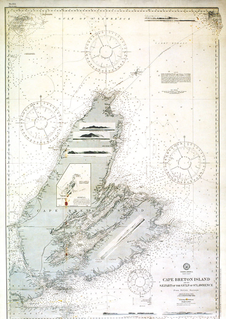
Cape Breton Island and the S E part of the Gulf of St. Lawrence

With views of St. Paul Island, north light; St. Paul Island, south light; Flint Island and Scatari Island. From British Surveys, Washington, DC, April 1895.
Date: 1895
Reference: Map Collection Nova Scotia Archives Hydrographic Charts: USHO 611: NA East Coast