Nova Scotia Archives
Footprints in the Sand
Pre‐1867 Government Records for Sable Island
Report of Captain Robert Burton of 7th (----) sent under order of Sir George Provost of Sable Island in Cable Schooner Peggy
1808. — 4 pages : 30 x 48 cm.
note: transcription publicly contributed - please contact us with comments, errors or omisions
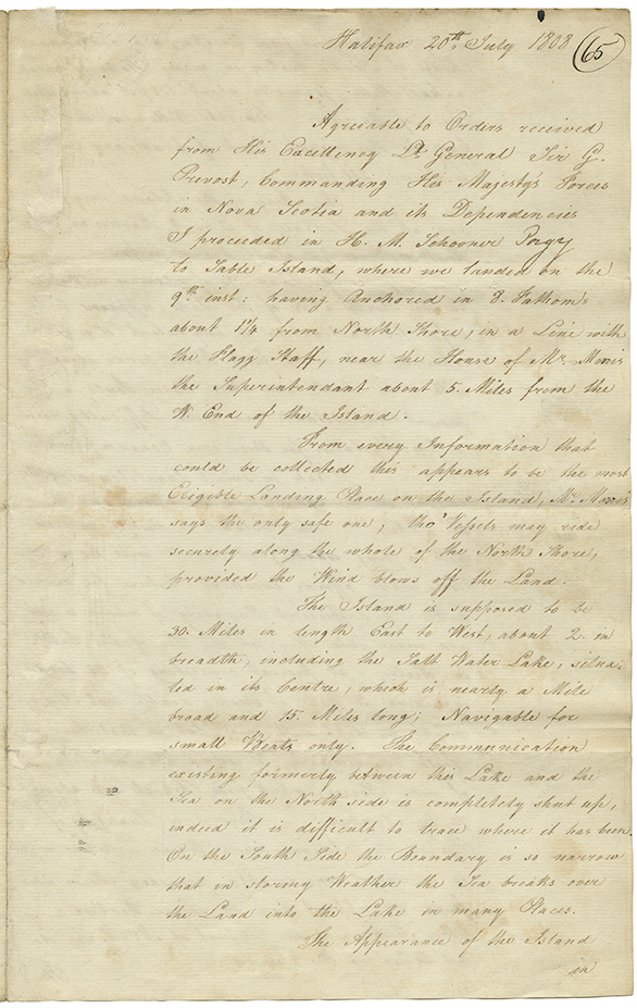
Halifax 20th July 1808
Agreeable to Orders received from His Excellency Lt. General Sir G. Provost, Commanding Her Majesty's Forces in Nova Scotia and its Dependencies I proceeded in H. M. Schooner Peggy to Sable Island, where we landed on the 9th inst: having Anchored in 8 Fathom's about 1 1/4 from North Shore, in a Line with the Flagg Staff, near the House of Mr. Morris the Superintendant about 5 Miles from the W. End of the Island.
From every Information that could be collected this appears to be the most Eligible Landing Place on the Island, Mr. Morris says the only safe one, tho' Vessels may ride securely along the whole of the North Shore, provided the Wind blows off the Land.
The Island is supposed to be 30 Miles in length East to West, about 2 in breadth, including the Salt Water Lake situated in its Center, which is nearly a Mile broad and 15 Miles long; Navigable for small Boats only. The Communication existing formerly between the Lake and the Sea on the North side is completely shut up, indeed it is difficult to trace where it has been. On the South Side the Boundary is so narrow that in stormy Weather the Sea breaks over the Land into the Lake in many Places.
the Appearance of the Island in
4 pages 30 x 48 cm
Date: 1808
Reference: Nova Scotia Archives RG 1 volume 424 number 65

