Council of Nova Scotia Archives
Beaton Institute, Cape Breton University
Results 1 to 15 of 67 from your search:
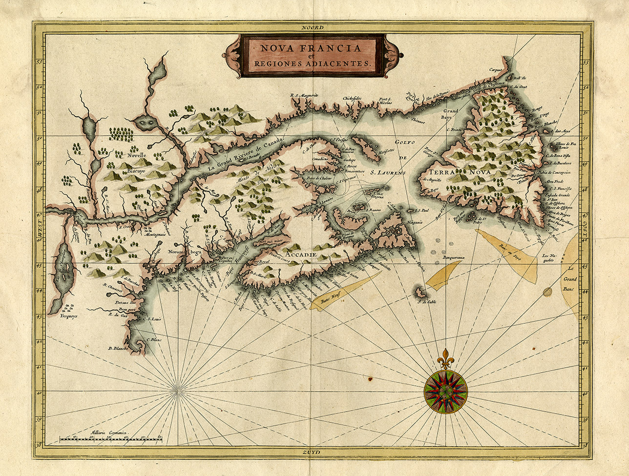
Nova Francia et Regiones Adiacentes
Date: 1633
Reference: Beaton Institute, Cape Breton University bi-map-686
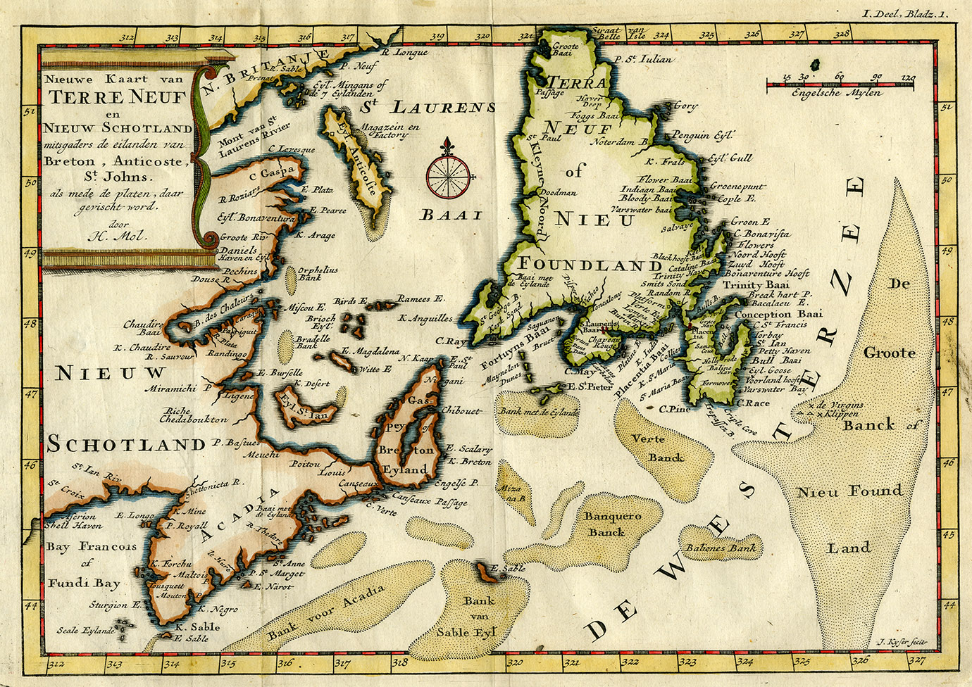
Nieuwe koart van Terre Neuf en Nieuw Schotland
Date: 1703
Reference: Beaton Institute, Cape Breton University bi-map-248
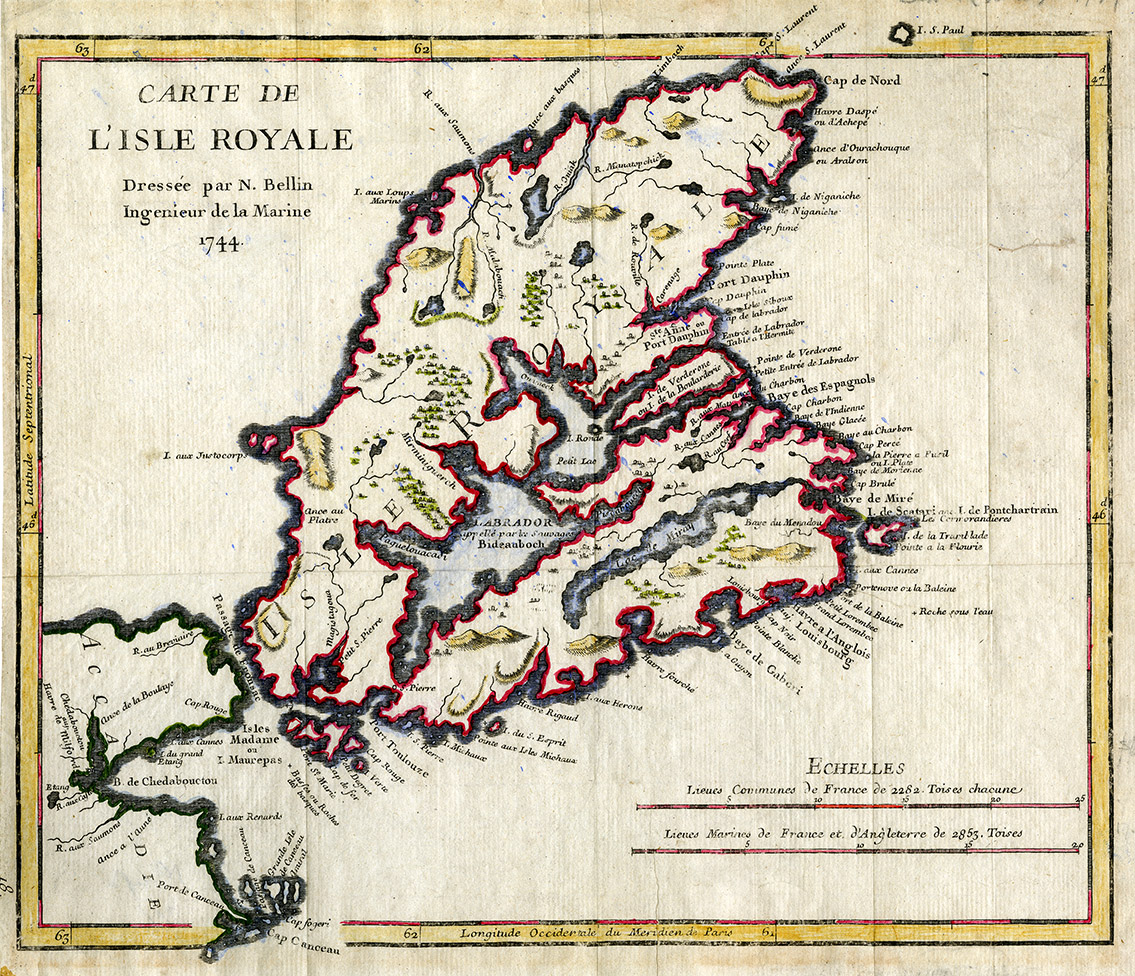
Carte de L'Isle Royale 1744
Date: 1744
Reference: Beaton Institute, Cape Breton University bi-map-711
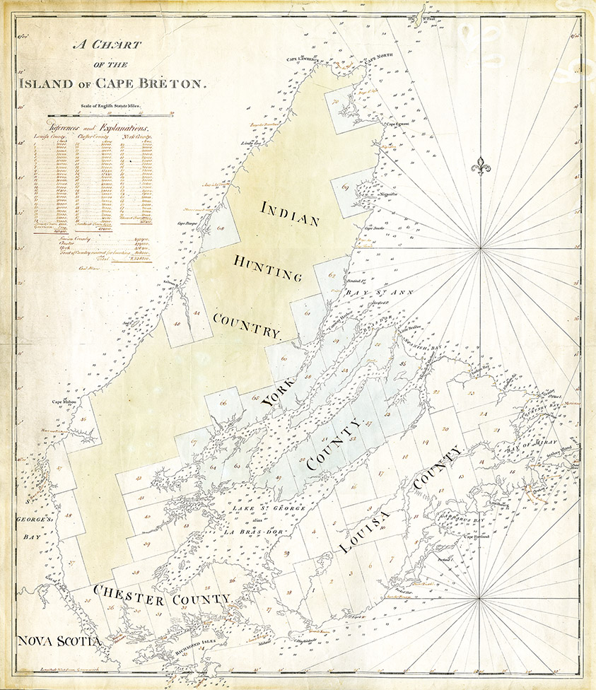
A chart of the Island of Cape Breton
Date: 1767
Reference: Beaton Institute, Cape Breton University bi-map-667
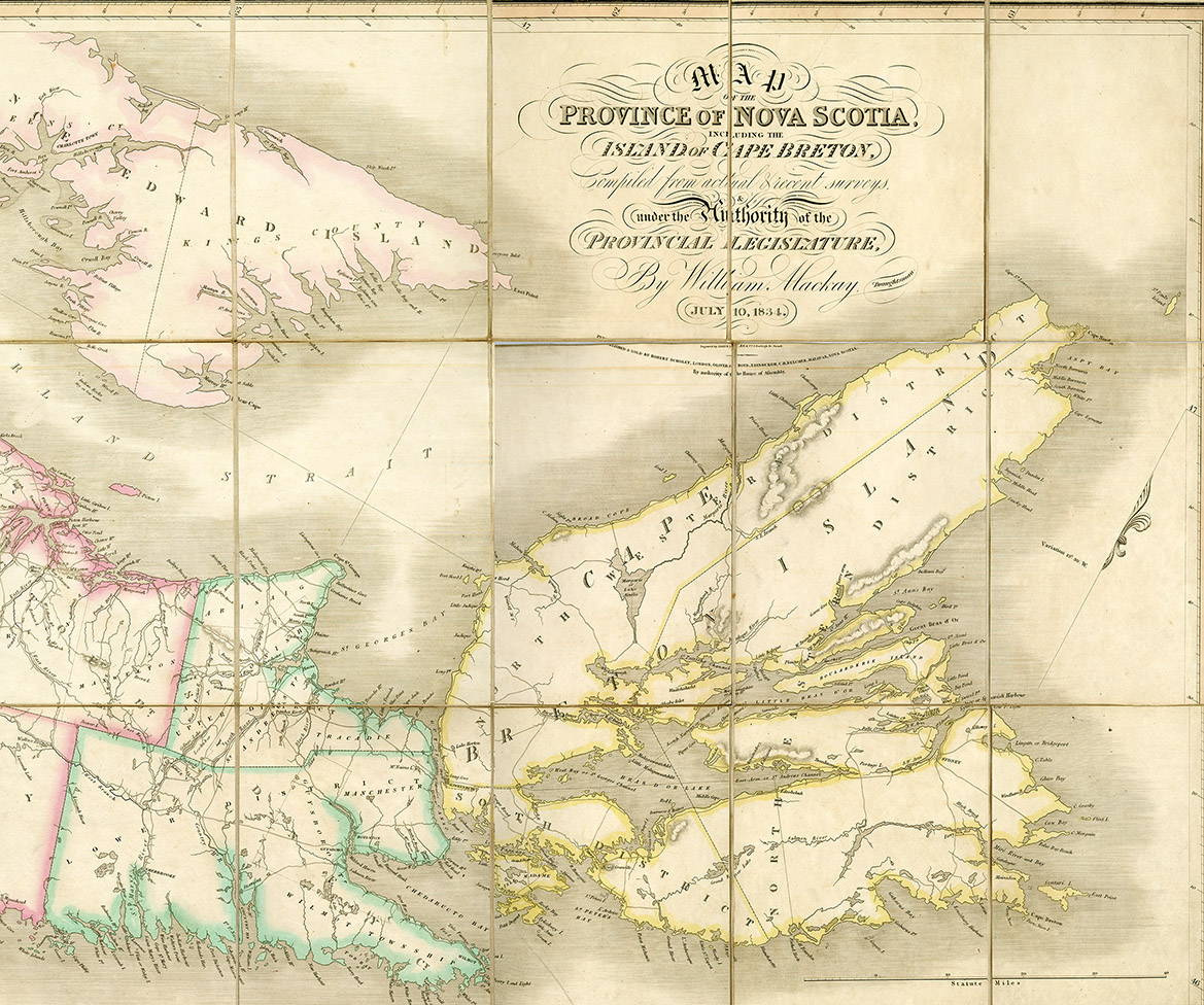
Nova Scotia and Cape Breton
Date: 1834
Reference: Beaton Institute, Cape Breton University bi-map-199
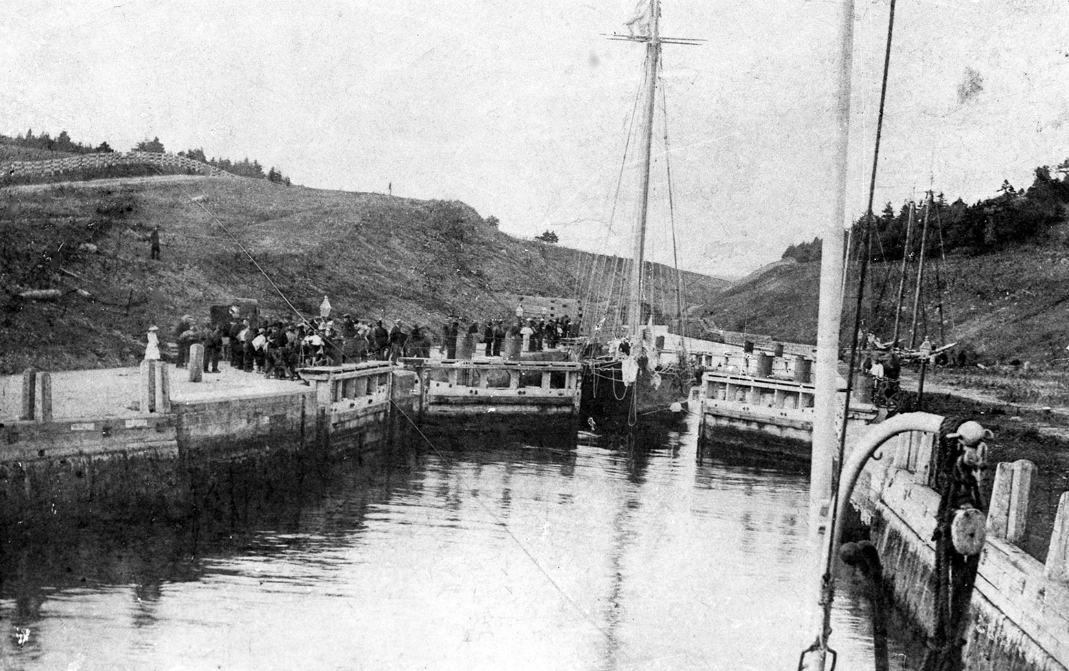
Sailing ship and crowd at St. Peter's Canal
Date: 1886
Reference: Beaton Institute, Cape Breton University bi-76-4c
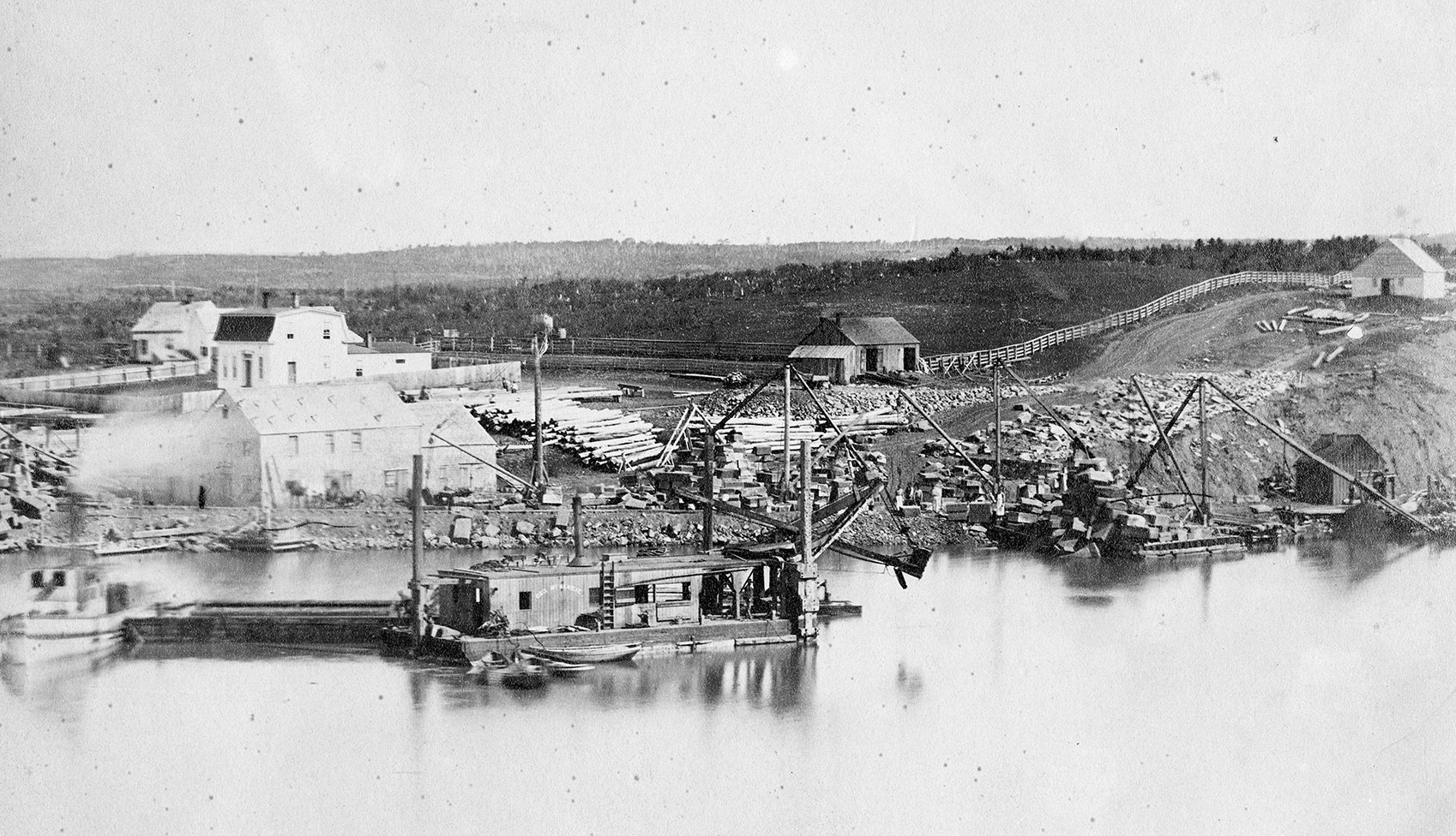
Dredging at St. Peter's Canal
Date: [ca. 1890]
Reference: Beaton Institute, Cape Breton University bi-76-5
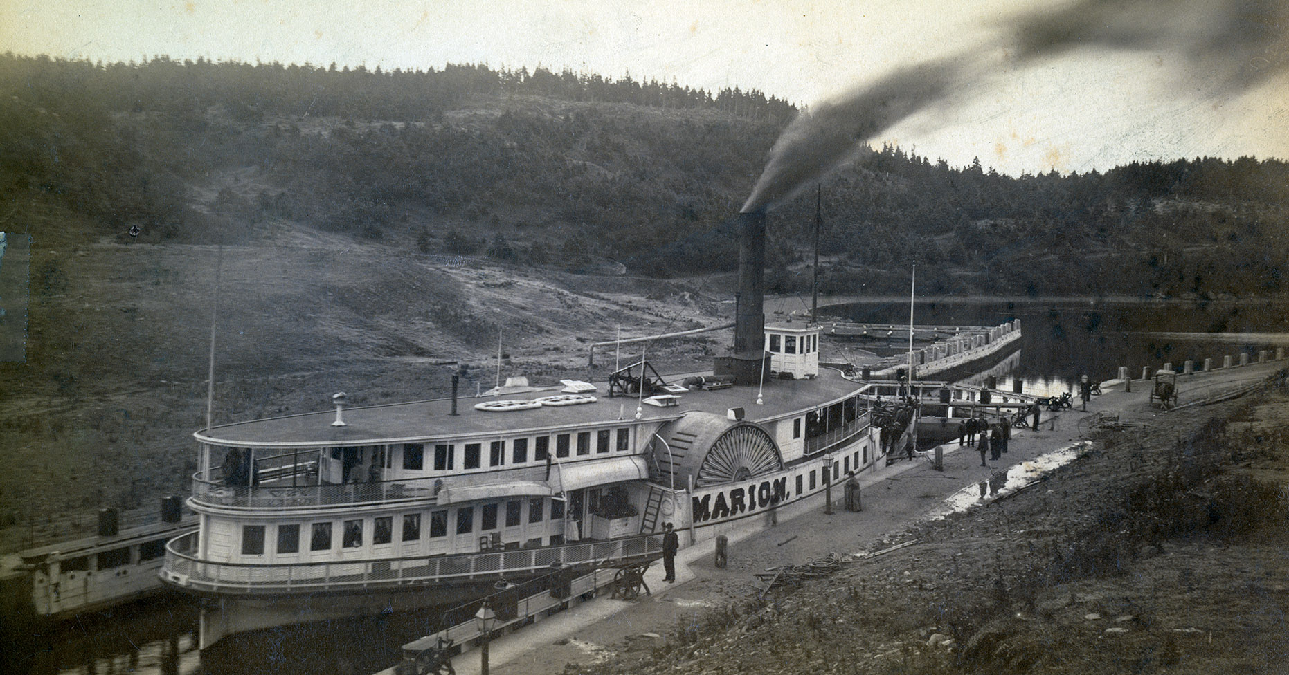
The Marion at St. Peter's Canal
Date: [ca. 1900]
Reference: Beaton Institute, Cape Breton University bi-78-724-2474
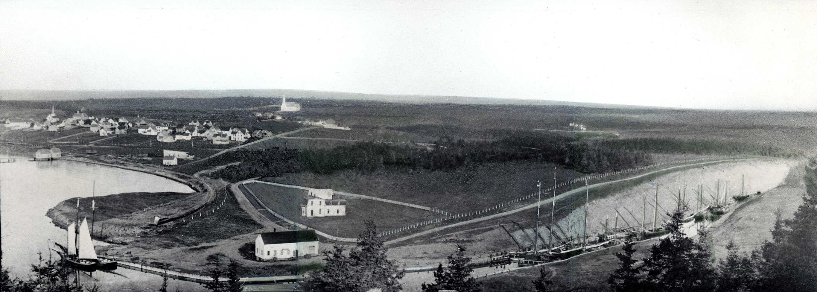
Vessels docked at St. Peter's Canal
Date: 1910
Reference: Beaton Institute, Cape Breton University bi-81-1241-6321
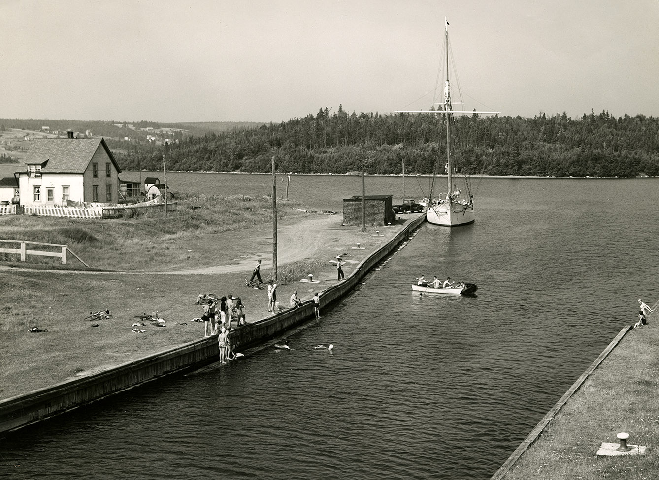
Swimming at St. Peters Canal
Date: [ca. 1950]
Reference: Beaton Institute, Cape Breton University bi-77-61-195
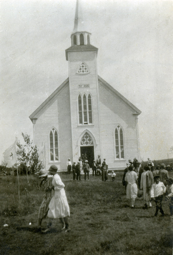
St. Anne's Church, Potlotek First Nation (Chapel Island)
Date: 1924
Reference: Beaton Institute, Cape Breton University bi-80-199-4379
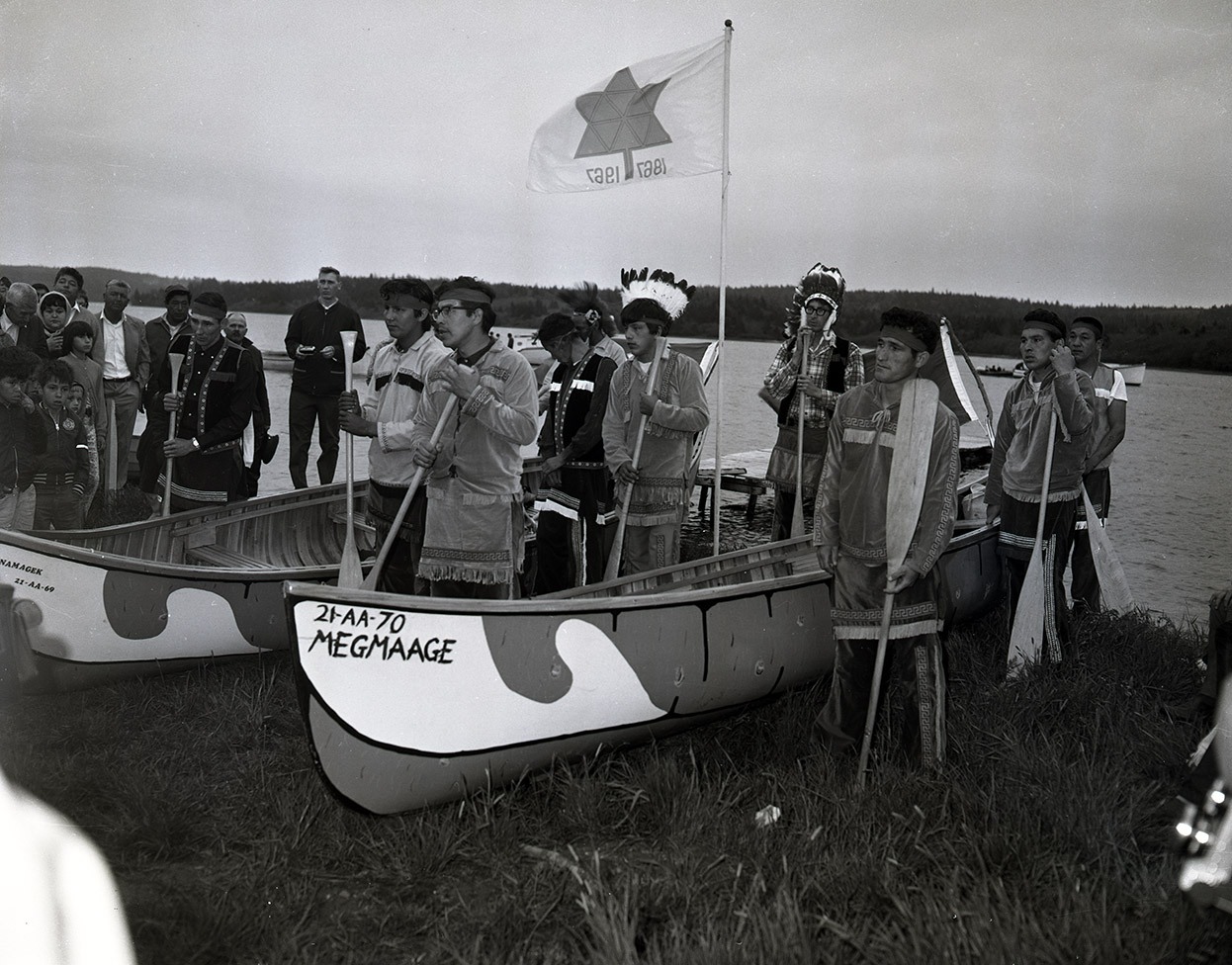
Paddling from Potlotek to Montreal for Expo 67
Date: 1967
Reference: Beaton Institute, Cape Breton University bi-B-7295.1
For further information, please contact the Beaton Institute.
