Council of Nova Scotia Archives
Beaton Institute, Cape Breton University
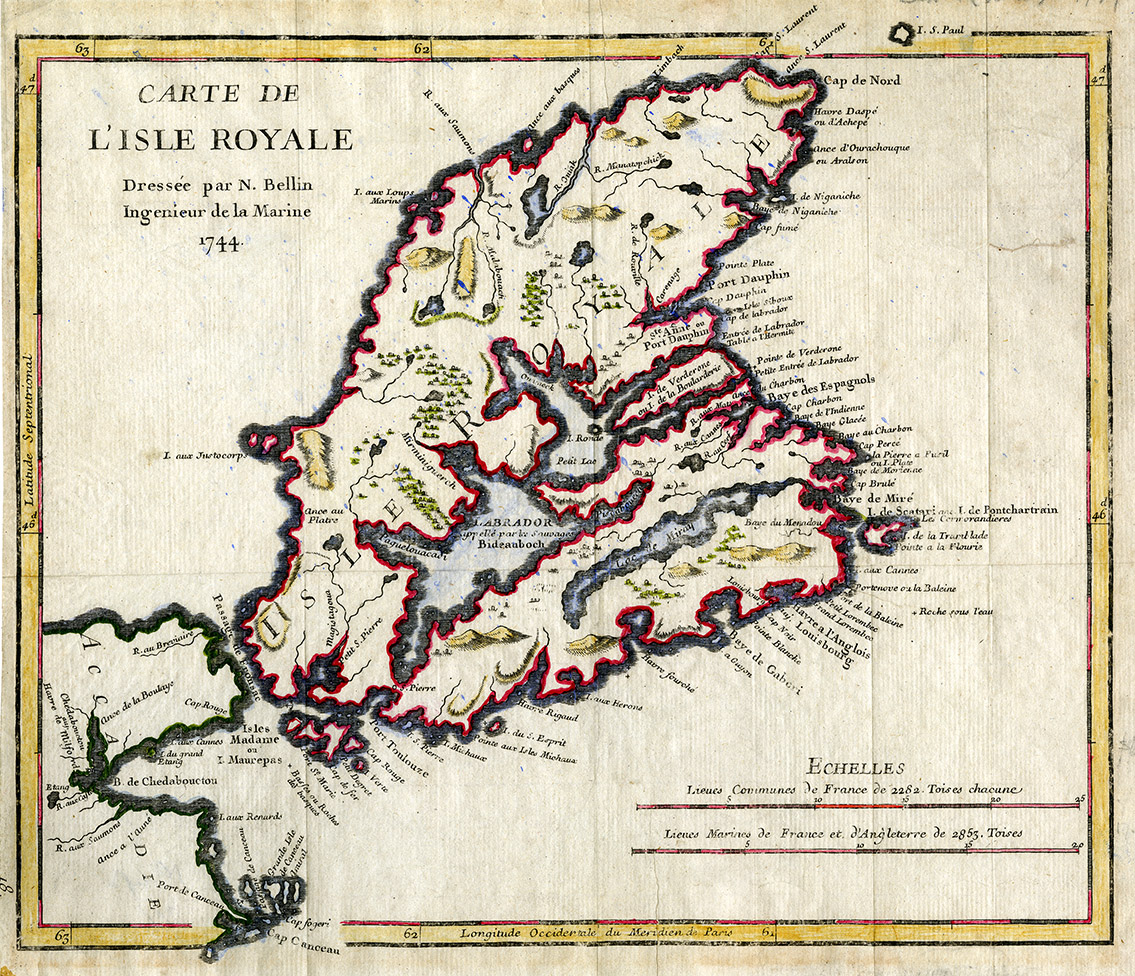
Carte de L'Isle Royale 1744
This image is a hand-coloured map of Isle Royale (Cape Breton Island) by Jacques Nicolas Bellin from the Petit Atlas Maritime published in 1764. During the French colonial period, permanent settlement on Isle Royale grew to 4000. This map shows changes in placenames reflecting the French and Mi'kmaw presence.
Date: 1744
Reference: Beaton Institute, Cape Breton University bi-map-711
For further information, please contact the Beaton Institute.


