Council of Nova Scotia Archives
Beaton Institute, Cape Breton University
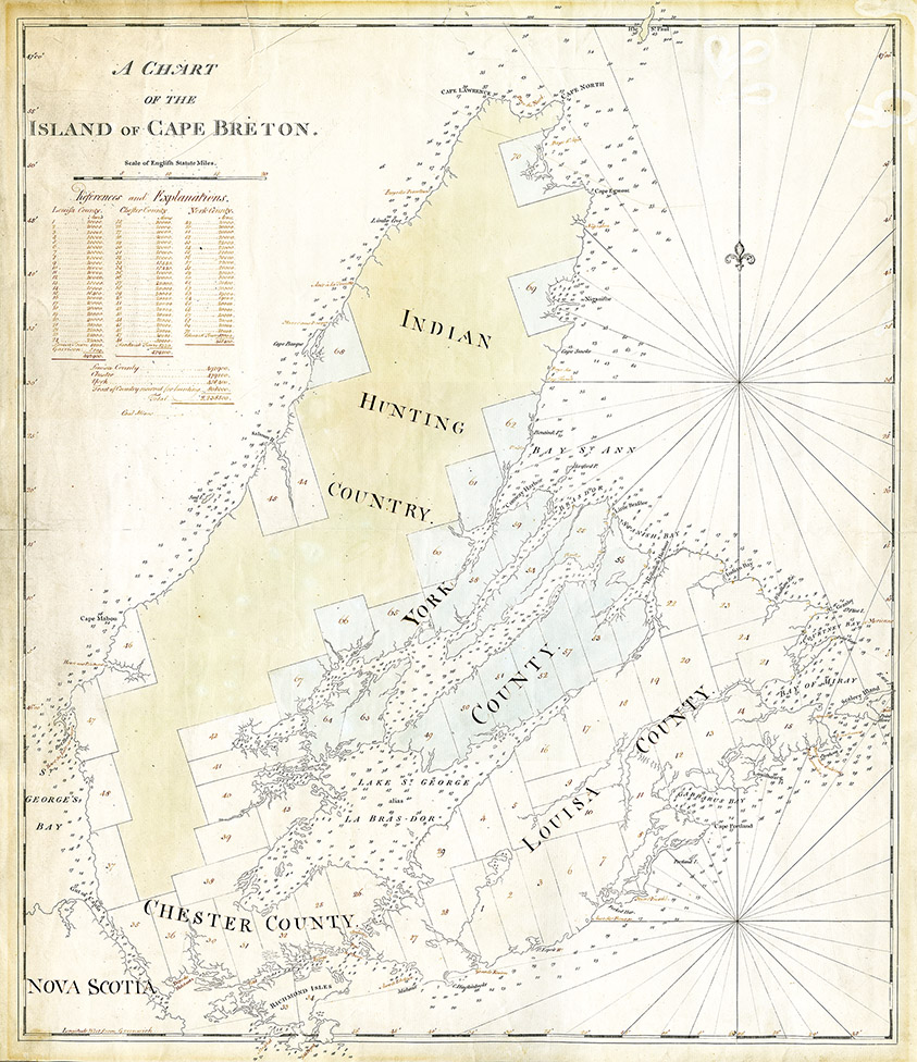
A chart of the Island of Cape Breton
This map shows acreage of Cape Breton townships, parishes, and counties during the late 18th century. Many 18th century maps documented indigenous hunting territories. Desbarres map identifies "Indian Hunting Ground" based on an earlier survey completed by Samuel Holland.
Date: 1767
Reference: Beaton Institute, Cape Breton University bi-map-667
For further information, please contact the Beaton Institute.


