Council of Nova Scotia Archives
Beaton Institute, Cape Breton University
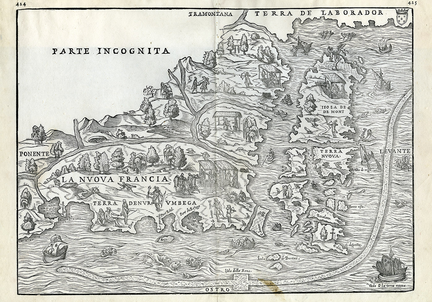
La Nuova Francia
This map is based on the voyages of Giovanni da Verrazano in 1524 and Jacques Cartier in 1534. It is the first printed map devoted to New England and New France, showing the eastern seaboard from New York Bay to the Gulf of St. Lawrence. Cape Breton and Newfoundland are shown as several islands and the St. Lawrence River is depicted running west from the Gulf. A long, thin band is thought to be an early representation of the Gulf Stream and marks the rich fishing banks. This map is an example from the second plate, first published by Giovanni Battista Ramusio in 1565, as re-issued in 1606 in the publication Navigazioni and Viaggi.
Date: 1606
Reference: Beaton Institute, Cape Breton University bi-map-722
For further information, please contact the Beaton Institute.


