Council of Nova Scotia Archives
Beaton Institute, Cape Breton University
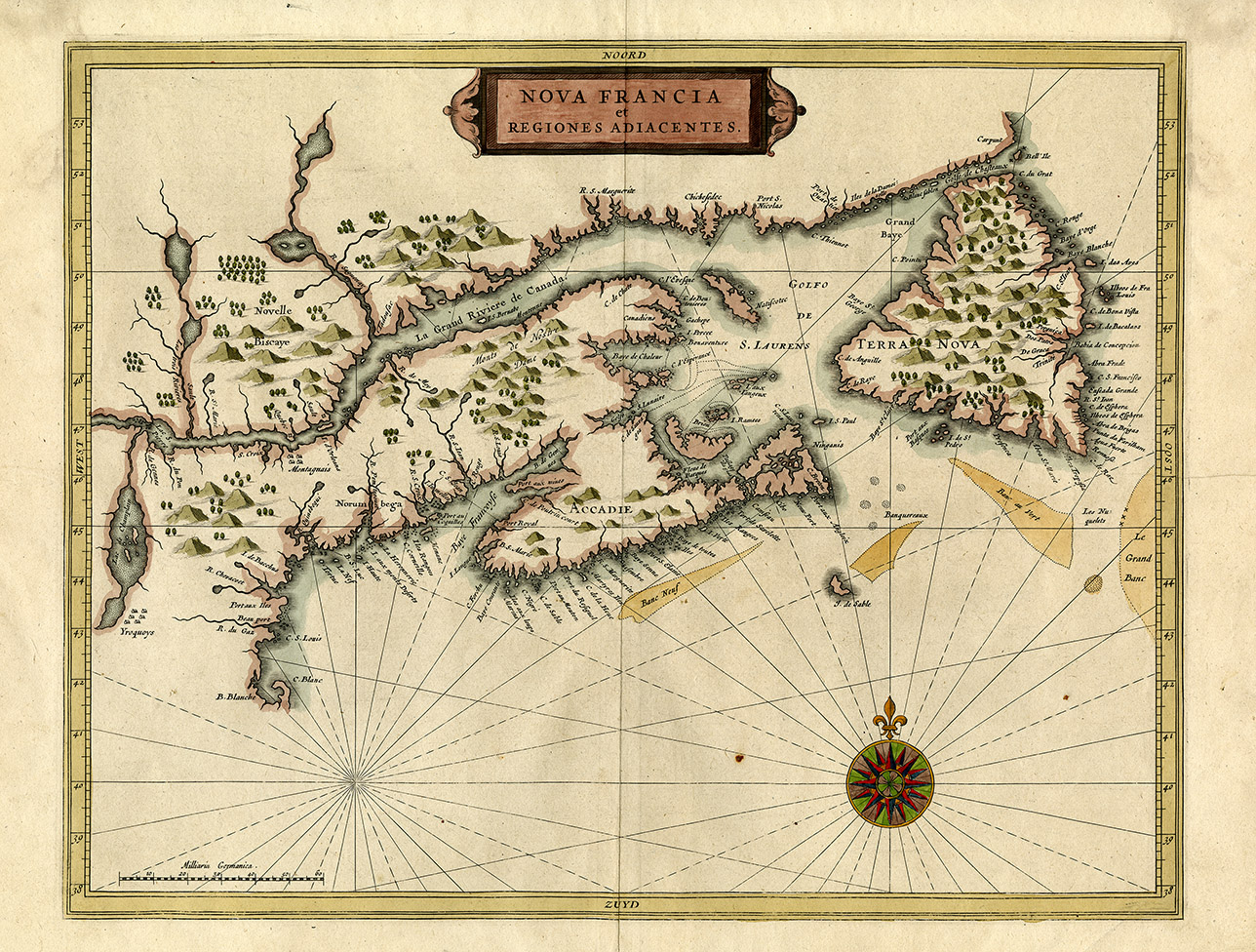
Nova Francia et Regiones Adiacentes
Item is the first printed map to include an accurate depiction of Prince Edward Island. Cape Breton placenames reflect important harbours used for seasonal fishing such as Niganis (Ingonish) and Port aux Angloix (Louisbourg).
Date: 1633
Reference: Beaton Institute, Cape Breton University bi-map-686
For further information, please contact the Beaton Institute.


