Council of Nova Scotia Archives
Beaton Institute, Cape Breton University
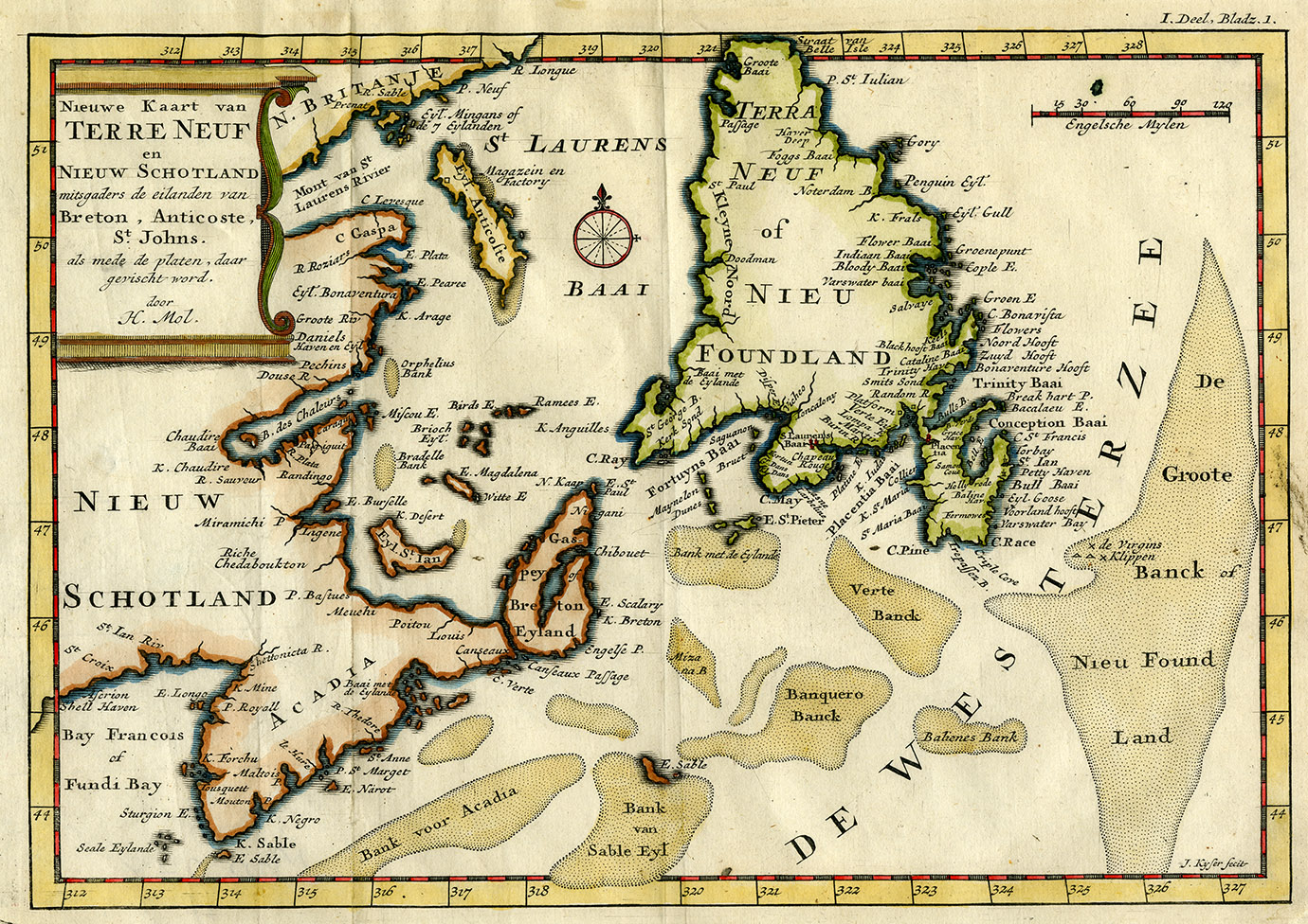
Nieuwe koart van Terre Neuf en Nieuw Schotland
Map is by engraver Herman Moll and shows fishing resources of Newfoundland, Nova Scotia and the Gulf of St. Lawrence during early 18th century. This map depicts shared international fishing banks before the Treaty of Utrecht of 1713 created geo-political boundaries restricting fishing territories.
Date: 1703
Reference: Beaton Institute, Cape Breton University bi-map-248
For further information, please contact the Beaton Institute.


