Council of Nova Scotia Archives
Beaton Institute, Cape Breton University
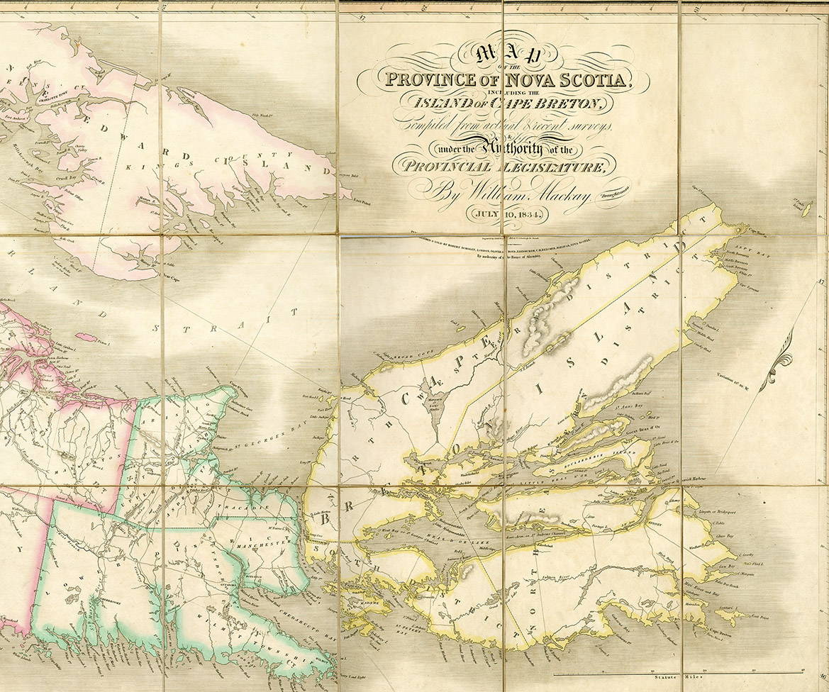
Nova Scotia and Cape Breton
This image is of Belcher's map of Nova Scotia including Cape Breton. The map was compiled from surveys by William MacKay in 1834. Map shows township boundaries and expanding communication and transportation infrastructure including telegraph stations and railway lines.
Date: 1834
Reference: Beaton Institute, Cape Breton University bi-map-199
For further information, please contact the Beaton Institute.


