Council of Nova Scotia Archives
Beaton Institute, Cape Breton University
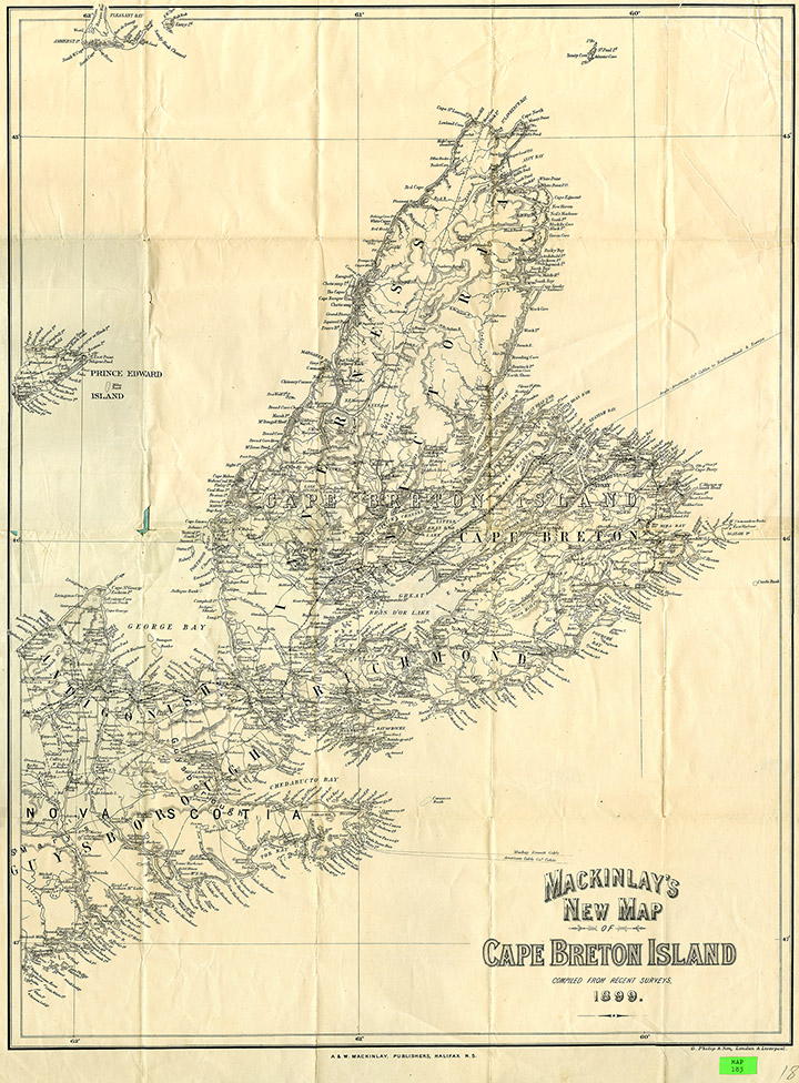
Cape Breton Island
This map documents industrial expansion across Cape Breton. Insets show Sydney, Glace Bay, North Sydney and Sydney Harbour as well as a graphic labeling Sydney as a World Centre. Shipping routes and a list of coal and steel markets are also visible.
Date: 1903
Reference: Beaton Institute, Cape Breton University bi-map-183
For further information, please contact the Beaton Institute.


