Council of Nova Scotia Archives
Eastern Shore, Halifax County
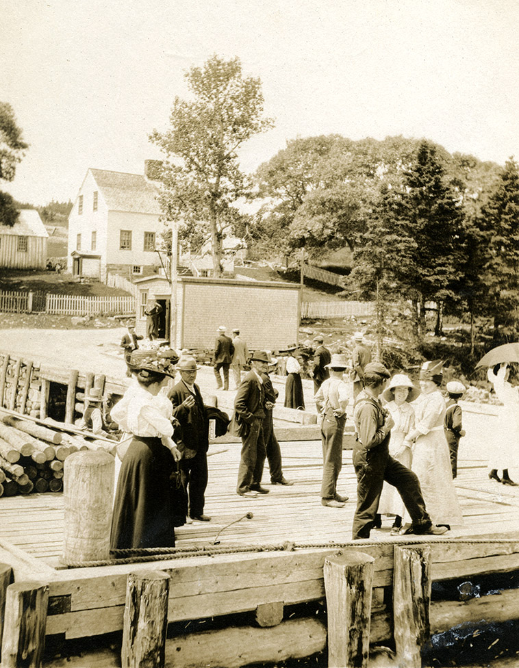
Waiting for Supplies, Lower Ship Habour
Ship Harbour is located approximately 69 kilometres east of Dartmouth and is both a body of water and a series of communities that frame the harbour itself, with Head Ship Harbour located on the main Highway 7 and Lower Ship Harbour and West Ship Harbour located on the “Loop Road” that follows the western side of the harbour to DeBaies Cove. The name Ship Harbour possibly comes from a “ship like rock” located at the mouth of the harbour. Many of the founding families around the harbour came as Loyalists from South Carolina after the American Revolution. Some of the early settlers included Marks, Siteman, Blakeney and Webber. The harbour is very deep and was serviced by schooners and steamers, as well as vessels that came to load lumber and other products from the local mills and factories. Shown in this photograph are the residents of Lower Ship Harbour waiting on the government wharf for supplies to be unloaded. The supply ship Margaret is at the wharf, but is not visible in this photograph. In the background is the home of Lewis and Myrtle Siteman (no longer remaining).
Date: [ca. 1900]
Reference: Eastern Shore Archives D0119P001
For more information, please contact the Eastern Shore Archives.


