Council of Nova Scotia Archives
Halifax Municipal Archives
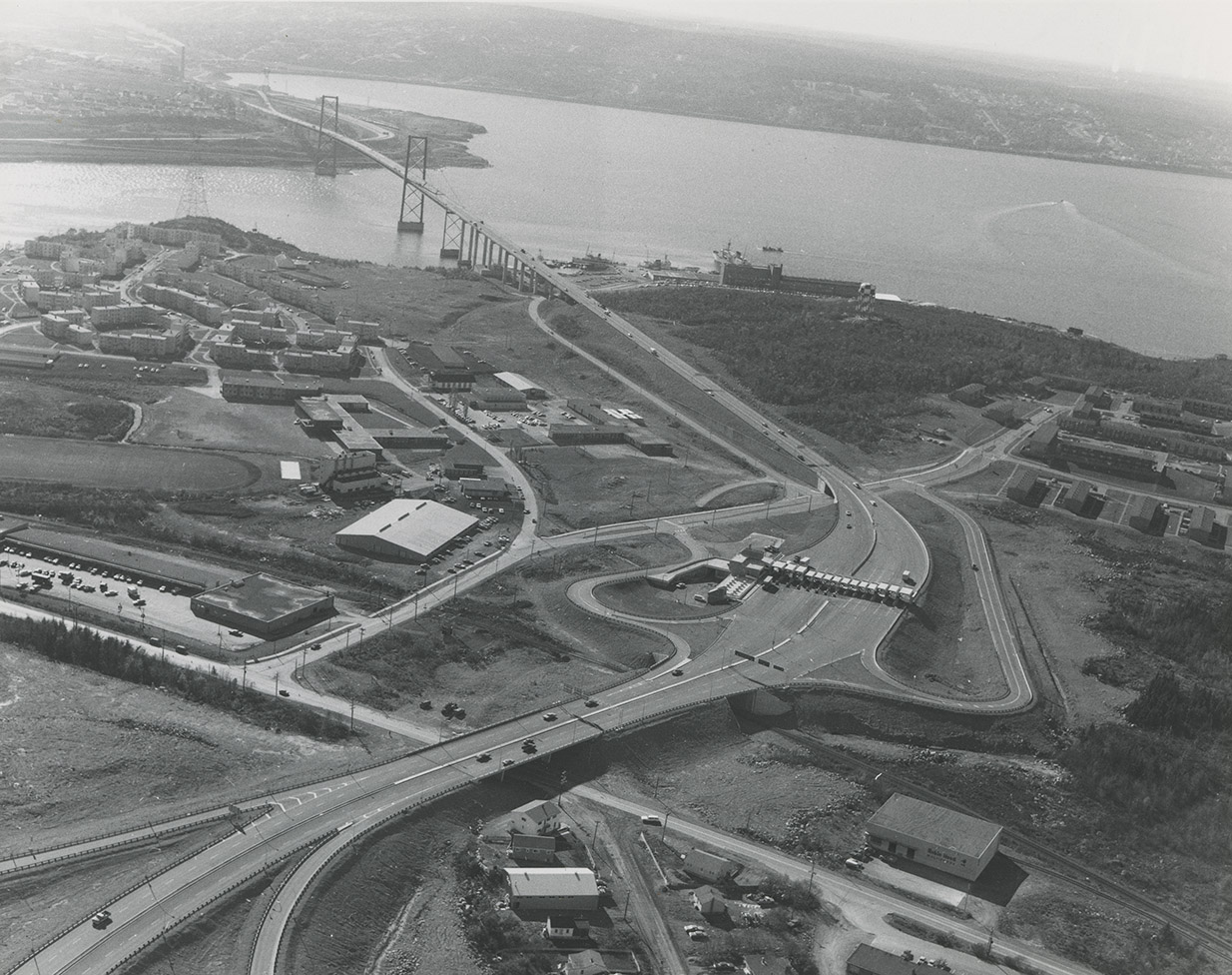
MacKay Bridge Toll plaza
Oblique aerial photograph looking northwest from the Windmill Road underpass on the Circumferential highway across the MacKay Bridge to the far shore of the Bedford Basin; showing the Bedford Institute of Oceanography, Shannon Park and the Princes Margaret Boulevard Wallace Heights development. Photograph by Atlantic Air Survey.
Topic: Dartmouth
Date: [197-]
Reference: City of Dartmouth Planning and Development photographs Halifax Municipal Archives 101-80C-1-4-H11
For further information, please contact the Halifax Municipal Archives.


