Council of Nova Scotia Archives
Halifax Municipal Archives
City of Halifax - Downtown
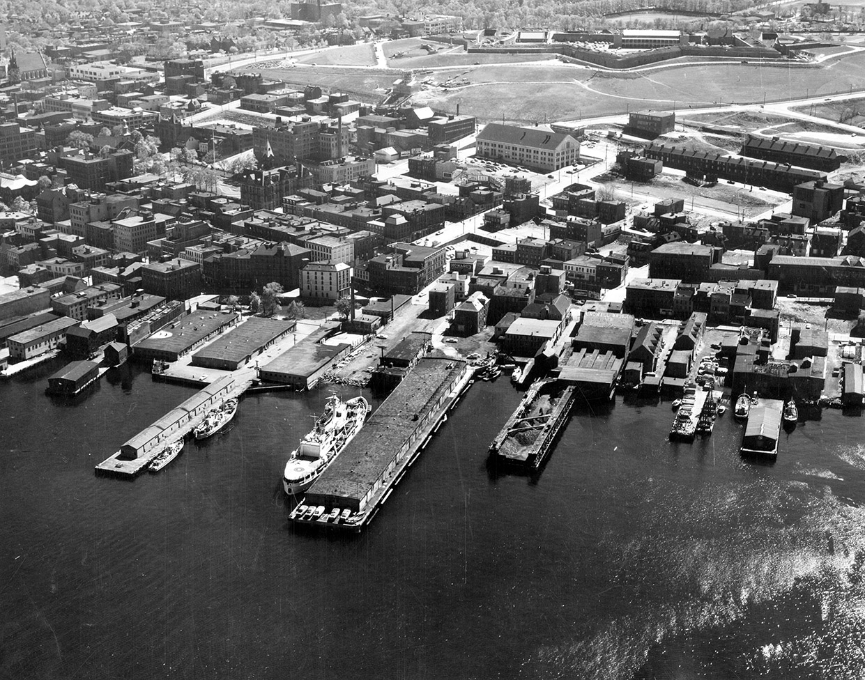
An oblique aerial photograph that depicts the Halifax waterfront and piers between Duke and [Cornwallis]. Shows the downtown area, and especially the former streets that were razed for the construction of Scotia Square and the Cogswell Interchange. City Hall, Moir's chocolate factory, the Market/Police Station building, the Glacis Barracks are all visible. Citadel Hill can be seen in the background. Photograph by Atlantic Air Survey. AAS negative number 2106; 1986-497.
Topic: Halifax
Date: 4 June 1961
Reference: City of Halifax Engineering and Works photographs Halifax Municipal Archives 102-39-1-418
For further information, please contact the Halifax Municipal Archives.


