Council of Nova Scotia Archives
Halifax Municipal Archives
North End
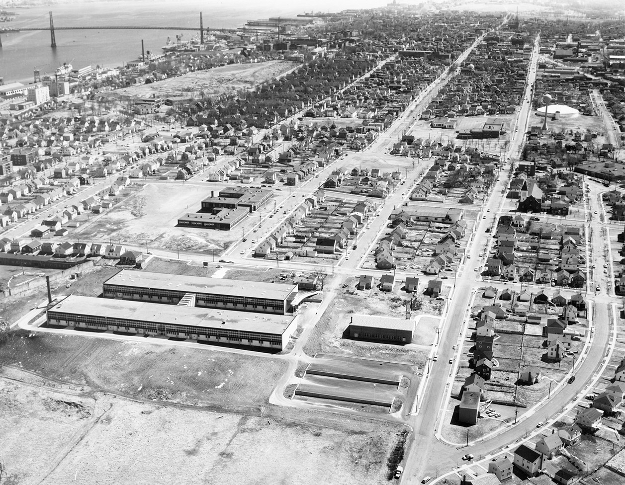
Oblique aerial photograph that looks south along Robie from its intersection with Hospital Lane (now High St.) in the North End. In the foreground of the photograph is the Nova Scotia Institute of Technology and Saint Margaret of Scotland Anglican Church. Agricola St. runs down the centre of the image, and on the left, the harbour and most of the length of the MacDonald Bridge is in view. Other notable sites in the photograph: Saint Stephen's School (Highland Ave.), Mulgrave Park School (3479 Robie St.), the Halifax City Reservoir (water tower) on Robie near Cabot St., Fort Needham Park, and the Hydrostone housing development. Photograph by Atlantic Air Survey. AAS negative no. 2778.
Topic: Halifax
Date: 26 April 1963
Reference: City of Halifax Engineering and Works photographs Halifax Municipal Archives 102-39-1-413
For further information, please contact the Halifax Municipal Archives.


