Council of Nova Scotia Archives
Halifax Municipal Archives
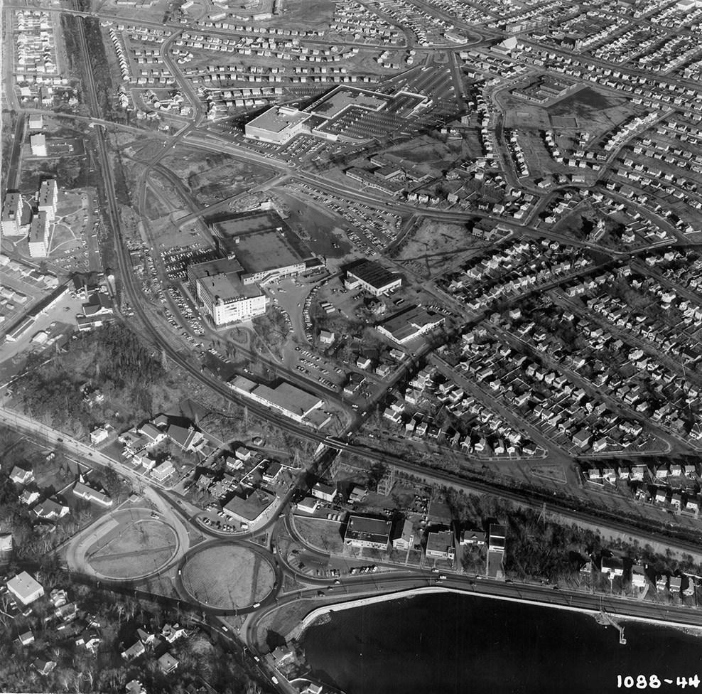
Halifax Shopping Centre/Simpsons Complex
Aerial photo looking northeast above the Armdale Rotary up towards Bayer's Road and Connaught Ave., showing Westmount, the former John Thompson School, St. Agnes School, the rail-line, the Halifax Shopping Centre and the Simpson's complex, as they are being developed. In the lower right, you can see the Northwest Arm ferry dock at the bottom of Quinpool Road. Photograph by Atlantic Air Survey.
Topic: Halifax
Date: 5 December 1962
Reference: City of Halifax Development and Planning photographs Halifax Municipal Archives 102-105-3-Box18-1088-44
For further information, please contact the Halifax Municipal Archives.


