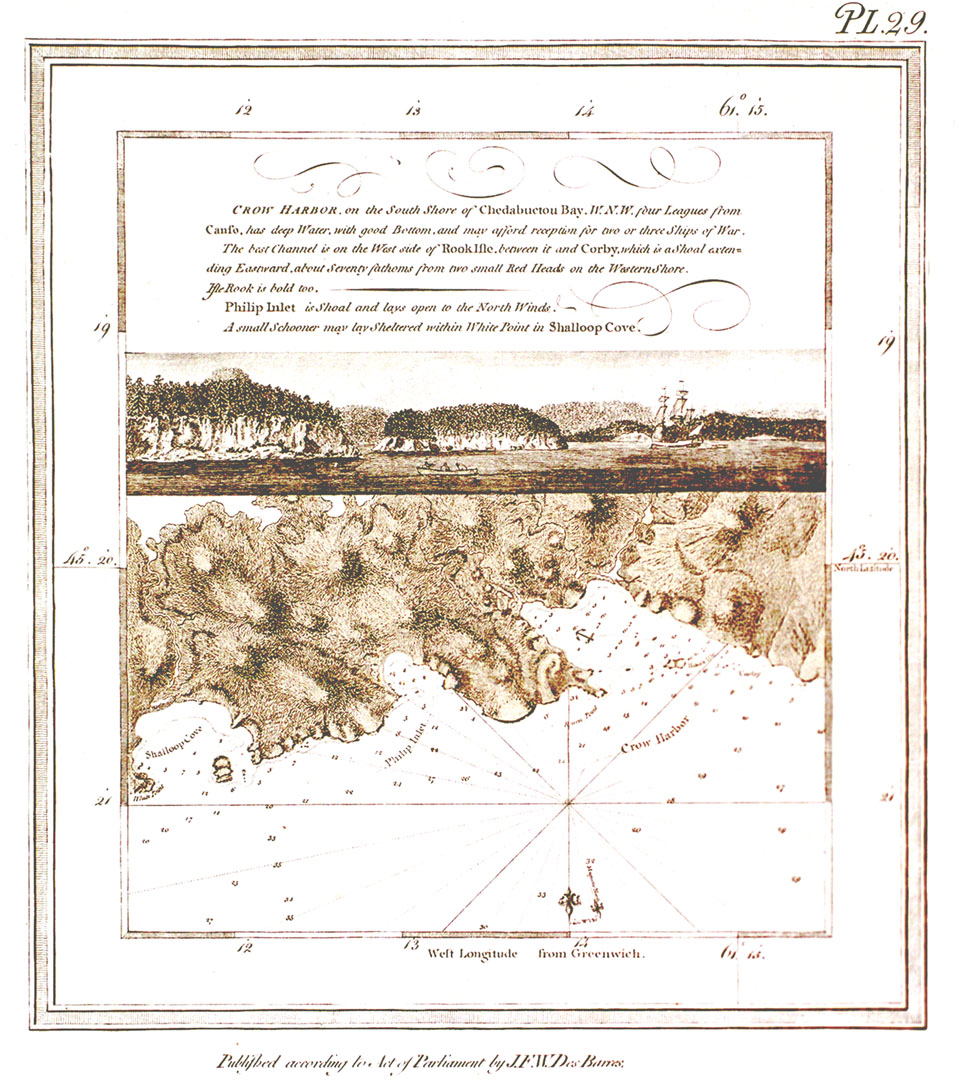
Shoals outlined, with inset view and marked Plate 29.
Date: 1776
Artist & Surveyor: J.F.W. Des Barres
Reference: Map Collection Nova Scotia Archives Atlantic Neptune S58 N54
Nova Scotia Archives — https://archives.novascotia.ca/Ports/archives/
Crown copyright © 2024, Province of Nova Scotia.